Hey Ya'll ! Due to the Pandemic, the annual North Carolina GIS Conference was held virtually this year, from Feb 16-19, instead of the usual location of Winston-Salem. Blue Raster Program Manager Phil Satlof attended sessions, staffed the virtual "booth" and presented on the topic of Configurable apps like ArcGIS Dashboards, Extendable and Custom-Configurable applications.
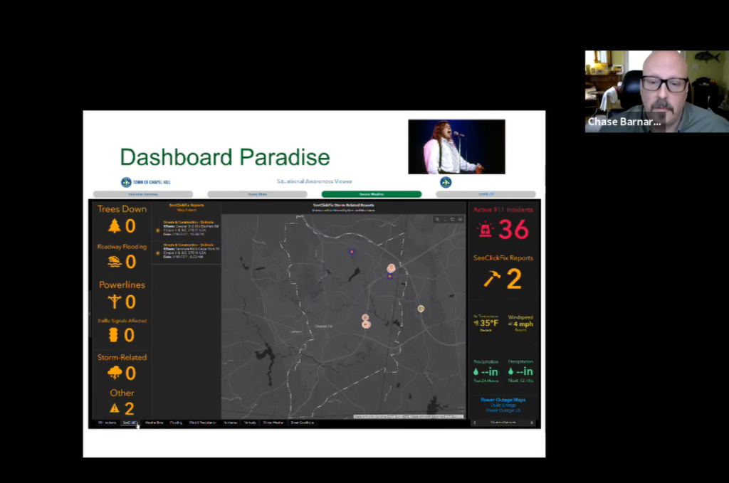
A highlight of the conference for Blue Raster was when Chase Barnard and Dave Almond of the Town of Chapel Hill GIS Team presented "Paradise by the Operations Dashboard" which details the collaborative partnership forged between Blue Raster and the Town to refine ArcGIS Dashboards, Experience Builder Apps and create a custom workflow to pipe Computer Aided Dispatch data from the Orange County, NC 911 system into the Town ArcGIS Online account for use in a situational awareness dashboard.
Check back soon for more updates to this exciting workflow!
Related Posts
-
Manassas Park Deploys ArcGIS Tools to
Modernize IT Infrastructure - Transitioning from Web AppBuilder to Experience Builder: Get Ready for a New Experience
- South Park Arboretum’s Plant Finder uses ArcGIS Experience Builder to Showcase Restoration Efforts
- Blue Raster Exhibits and Presents at the 2023 North Carolina ArcGIS Users Group Conference
- ArcGIS Monitor Maintains Healthy ArcGIS Enterprise for Collin County, TX
