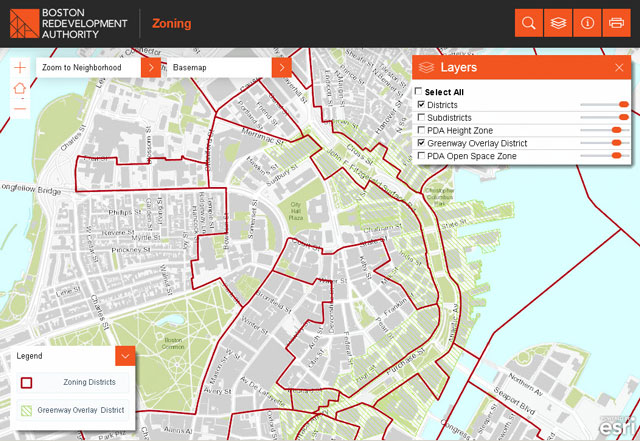
View planning and zoning information for properties across the City of Boston with the Boston Redevelopment Authority’s (BRA) new Boston Zoning Viewer. With the help of Blue Raster, this interactive web-mapping application was redesigned and updated with new data to assist city staff and the public in locating and determining zoning information for Boston land parcels.
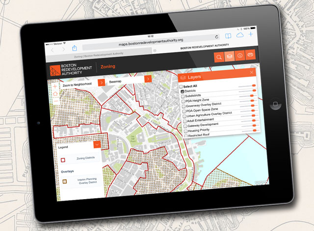
Recognizing the need to build a tool that works across multiple platforms, Blue Raster worked to optimize the application (for the first time) on mobile devices in addition to desktops. The mapping tool was successfully migrated from Flex to JavaScript and uses the latest version of ArcGIS for Server.
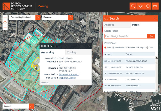
ArcGIS Image Extension serves imagery, and with the Zoning Viewer, both the public and city staff can access parcel information including address and owner, as well as many other contextual layers including zoning districts, smart growth, transit corridor and urban renewal.
For the first time, the new Zoning Viewer is available on tablets and phones. Users can select a parcel from the map, or locate a particular parcel by typing an address into the navigation search bar. The application also supports geo-searches with line-and-polygon buffer-selection tools.

“This application greatly simplifies our ability to get at critical zoning information combined with other GIS data.”
-Carolyn Bennett, Boston Redevelopment Authority GIS Manager
- Posted in
- Land Use


