
Blue Raster’s Recap from The American Public Gardens Association 2024 Conference
Last month, Blue Raster showcased its flourishing Public Garden practice at the American Public Gardens Associations Annual Conference in Boston, […]
Last month, Blue Raster showcased its flourishing Public Garden practice at the American Public Gardens Associations Annual Conference in Boston, […]
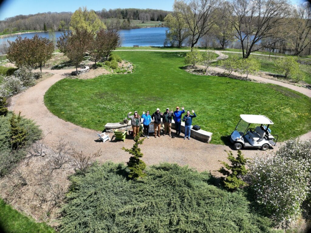
On a beautiful April morning in Northeast Ohio, Blue Raster made final preparations for a drone basemap capture. Located in

Blue Raster developed an ArcGIS Experience Builder application to help the Buffalo Olmstead Parks Conservancy showcase the South Park Arboretum’s “outdoor museum of trees”

Discover new places to connect with nature across the island of Martha’s Vineyard on the all-new TrailsMV mobile app, featuring a dynamic redesign using state-of-the-art ArcGIS technology.

Blue Raster was proud to showcase our Public Gardens and Cemetery solutions at the 2019 American Public Gardens Association Annual Conference in Washington, DC.

Blue Raster recently worked with the City of Lynnwood, Washington to support their Connect Lynnwood ArcGIS Hub launch.

In a new initiative with Green-Wood Cemetery, Cornell University, and turfgrass experts, Blue Raster is using drones to confront climate change in urban landscapes.

Blue Raster works with multiple public gardens and arboreta to develop web and mobile applications. These apps help to interactively

Since 1982, the Land Trust Alliance has supported conservation by providing its over 1,000 member land trusts with education programs,

At Green-Wood Cemetery in Brooklyn, New York, staff are now using field GIS applications such as Collector and Workforce for ArcGIS to streamline work order assignments and management for plant collections and monument restoration.