Our Work

Blue Raster helps you tell your story through interactive
mapping technology. Make your message clear, exciting,
and user-friendly for both mobile and web platforms.

Sustainable Development Goals

World Water Day: New ways to see WASH data on the Spatial Data Repository

New Resource in Time for World Water Day!

World Water Day is celebrated on March 22 to raise awareness of and to inspire action to tackle water and sanitation issues globally.

Blue Raster, with leadership from and in close collaboration with The DHS Program, has developed the Local Data Mapping tool, debuting today on the DHS Program Spatial Data Repository(SDR).

Just in time for World Water Day, the tool features new visualizations for four WASH (water, sanitation and hygiene) indicators disaggregated to a more granular level then previously available and in both vector and raster format! Browse to the new page here: https://spatialdata.dhsprogram.com/local-data-mapping-tool/

To visualize:

  • Administrative Area Level 2 in vector format
  • Raster images at a 5 x 5 KM resolution
  • Traditional Administrative Area 1 disaggregation
World Water Day

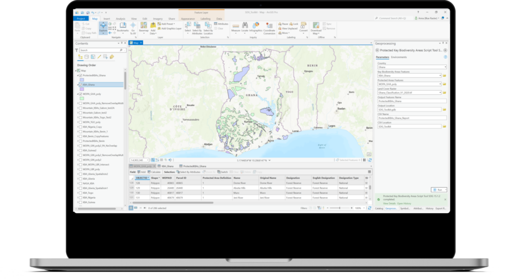
Viewing and interacting with raster data on a map is an entirely new offering for the USAID funded DHS Program. The 5 x 5 KM raster layers are stored on Esri ArcGIS Enterprise and accessed using the ArcGIS SDK for JavaScript. Raster and vector data are processed and published using the powerful ArcGIS Pro desktop software. Blue Raster’s Bojan Zivkovic and Chris Messerich tightly integrated with Dr. Ben Mayala and Dr. Rose Donohue from the DHS Program GIS team to make sure the data and application was developed to the requirements from USAID.

World Water Day 2024

Blue Raster and The DHS Program have a successful 15 year partnership and the venerable Spatial Data Repository has served GIS data to the public for over 10 years.  We love seeing this workhorse tool getting updated and adapted to more and more uses. It's perfect for viewing water indicators for World Water Day! Visit spatialdata.dhsprogram.com today!

Contact Us Today!

Contact Us
First
Last
Subscribe to our Email List

New Updates to The DHS Program Spatial Data Repository: A one stop shop for Spatial Analysis Datasets

You may be familiar with the USAID funded DHS Program Spatial Data Repository (SDR) and use it to access spatial and non-spatial indicator data produced by The DHS Program surveys.  However, if you have not visited recently or are new to the tool check it out today!

The DHS Program Spatial Data Repository


There are brand new features, like a Model Dataset to use for familiarizing yourself with The DHS Program data, lesser known features like Geospatial Covariates and Modeled Surfaces and even some amazing new visualizations under construction that will debut in spring 2024.

Model Dataset

The new Model Dataset is useful for learning how to use DHS Program data to produce your own results.

The SDR is a custom application built with JavaScript, HTML, CSS, Python, Node and other tools. It relies on Esri’s ArcGIS Enterprise for serving boundary files, Python tools for creating customized datasets and The DHS Program Indicator Data API for instant access to the vast universe of DHS Program survey data and Amazon Web Services (AWS) for hosting and serverless solutions. Blue Raster is a trusted technology partner to The DHS Program with over 15 years of dedicated service to the USAID funded project.

Keep your eye on this space and visit the Spatial Data Repository today!

Survey estimates

Download Modeled Surfaces produced from DHS Program survey estimates like this one from the Philippines.


Advancing Sustainable Development in West Africa: A Geospatial Toolkit for Monitoring SDG Goals

In 2015, United Nations Member States adopted the 2030 Agenda for Sustainable Development, a shared blueprint for global peace and prosperity now and into the future. Within the core of this agenda are 17 Sustainable Development Goals (SDG) which call all countries to action in a global partnership.

Goal 15 of the Sustainable Development Goals outlines a plan to protect, restore and promote sustainable use of terrestrial ecosystems, sustainably manage forests, combat desertification, and halt and reverse land degradation and biodiversity loss

As part of its initiatives in West Africa, the MIT Media Lab partnered with the Biospheric Sciences Lab at NASA Goddard Space Flight Center and Blue Raster to develop a desktop-based geospatial toolkit for calculating and reporting key indicators within Goal 15 of the SDGs. These key indicators are:

  • Forest area as a proportion of total land area
  • Proportion of important sites for terrestrial and freshwater biodiversity that are covered by protected areas, by ecosystem type.
  • Coverage by protected areas of important sites for mountain biodiversity.

Blue Raster developed these tools in a custom toolbox using ArcGIS Pro and the ArcGIS Python site package, ArcPy to calculate the key indicators for countries in the West African region namely: Nigeria, Ghana, Liberia, Togo, Benin, Guinea, and Botswana. The tool leverages remotely sensed imagery and standardized datasets to inform and provide decision making support to West African stakeholders as well as stakeholders within the academic community supporting the UN’s Sustainable Development agenda.

Blue Raster is long time partner of the MIT Media Lab and had previously partnered with the MIT Media Lab and Green Keeper Africa to develop the Lake Nokoué Environmental Observatory application, an online mapping that provides the public with current and historic information about water quality and invasive species in Lake Nokoué. The online observatory and decision support tool utilizes satellite, aerial and ground data to map water quality readings, as well as the location of water hyacinth and a fish farming practice known as “acadja” over time.

New Features in the LEARN Tool Expand Functionality for Assessing GHG Emissions from Land Use

As the effects of a warming climate become more apparent, it’s increasingly important to consider ways to mitigate the impact of greenhouse gases on the atmosphere. Forests play a key role in the climate crisis, as about a third of human emitted greenhouse gases are sequestered in trees and forests. Analyzing the impact these forests and tress have using land use and land cover change data is a great way for municipalities to get a read on the effects of greenhouse gas emissions in their own communities.

LEARN Tool ScreenShot 6

Blue Raster is pleased to release the new build for the LEARN (Land Emissions and Removals Navigator) Tool. Built in partnership with Local Governments for Sustainability (ICLEI) and the World Resources Institute (WRI), the LEARN Tool allows for community inventorying of the effects of land use change on greenhouse gas emissions. This tool empowers policy makers, local governments, and community members to make informed decisions on environmental and climate policy.  Blue Raster developed the LEARN Tool to address a significant gap in existing carbon accounting methods. Traditionally, previously analyses have focused on measuring their emissions from energy and transportation sectors, while the emissions and removals from land-use change and forestry have been overlooked. However, these land-based emissions and removals are responsible for a significant proportion of the carbon footprint, particularly in rural areas.

LEARN Tool ScreenShot 1

The LEARN Tool simplifies the process of assessing a community's net greenhouse gas balance. Users can quickly select their area of interest by searching for a municipality name or uploading their own shapefile. With intuitive sliders, users can configure their desired land cover and tree canopy data and choose data for forest and land cover change between 2001 and 2019, as well as data for trees outside of forests for the selected time frame. The analysis is generated for the chosen location and time frame, and users can compare their results against other cities and municipalities. The tool provides emission factors, removal factors, and harvested wood products as view factors for the selected comparison area, with the option to download the results as a PDF or CSV file.

The latest version of the LEARN Tool comes packed with new features that improve its functionality. Users now have access to 1m Tree Canopy Data within the Chesapeake Bay Watershed, courtesy of the Chesapeake Bay Program and Chesapeake Conservancy, providing users with valuable insights into how trees and forests impact greenhouse gas inventories. The inventory period configuration screen has also been upgraded with new toggle widgets, offering users greater flexibility in selecting between 30m and 1m data in their analyses. These new features enhance the user experience and expand the tool's capabilities, making it even more valuable for communities looking to reduce their carbon footprint.

Blue Raster is excited to roll out this tool in its final form to benefit communities across the country.


Software used: ArcGIS Enterprise, ArcGIS Image Server, Esri JavaScript API

Blue Raster Receives Sustainable Development Award and is Named Esri Cornerstone Partner at 2023 Esri Partner Conference

On March 6, 2023, Blue Raster received two significant honors at the 2023 Esri Partner Conference (EPC) held in Palm Springs, California from March 4-6, 2023. Our company was recognized by Esri, the global market leader in geographic information system (GIS) software, for both our accomplishments in applying GIS solutions to support sustainable development worldwide, and for reaching the milestone of 20 years of Esri Partner Network (EPN) participation.

As a recipient of the Esri Sustainable Development Award, Blue Raster was commended for helping customers meet global sustainable development goals by understanding their needs, mapping their work, measuring impact, analyzing performance, and engaging stakeholders. We're proud of our long history of creating innovative GIS solutions that address some of the world’s most pressing sustainability challenges. Among our most significant projects, our team has developed interactive applications and tools to map deforestation in the Amazon rainforest, manage and monitor water resources, and track progress toward the Sustainable Development Goals established by the United Nations. We currently work with leading nonprofit conservation organizations including The World Resources Institute, the Jane Goodall Institute, The Nature Conservancy, World Wildlife Fund, UNICEF, The Earth Genome, NatureServe, National Audubon Society, and The Stimson Center, among others.

Esri is the global leader in location intelligence with a network of over 2,800 partners around the world. The award winners are organizations that have demonstrated innovative and creative ways to solve complex problems by using Esri’s ArcGIS software and those that have done exceptional work in advancing GIS technology. Blue Raster was one of 27 Esri partners that received an achievement award at the conference.

“Esri congratulates Blue Raster on their 2023 EPC award in recognition of their innovative work leveraging ArcGIS software,” said Robert Laudati, Director of Global Partners and Alliances at Esri. “We are proud to partner with Blue Raster to foster the use of Esri technology in support of our mutual customers.”

In addition, Blue Raster was officially named an Esri Cornerstone Partner for our long-term commitment to Esri and the GIS community. Cornerstone Partner recognition is given to organizations that have participated in the EPN for 20 years while demonstrating a consistent focus on helping customers succeed through the adoption of ArcGIS technology.

We are extremely proud to achieve Esri Cornerstone Partner status, as it has been a privilege to be a part of the EPN since our founding 20 years ago,” says Michael Lippmann, principal/founder, Blue Raster. “We are also honored to receive the Esri Sustainable Development Award and be recognized for the positive environmental impact our applications have helped to make around the world. Our team remains incredibly passionate about innovating new and creative ways to apply ArcGIS technology and help our clients make a measurable and meaningful difference.”


Page 1 of 5