Our Work

Blue Raster helps you tell your story through interactive
mapping technology. Make your message clear, exciting,
and user-friendly for both mobile and web platforms.

Training

Modernize your GIS with Blue Raster’s Expert ArcMap to ArcGIS Pro Services

As Esri transitions users from ArcMap to ArcGIS Pro, GIS professionals are presented with an opportunity to embrace a more powerful and modern platform. Technology advances, and so too do the tools available for GIS professionals. For years, ArcMap has been a staple in the GIS industry, serving as a robust platform for spatial analysis and mapping. However, with the release of ArcGIS Pro, Esri has ushered in a new era of GIS software, offering enhanced capabilities and a modernized user experience. As Esri transitions users from ArcMap to ArcGIS Pro, GIS professionals are presented with an opportunity to embrace a more powerful and modern platform.

However, migrating from ArcMap to ArcGIS Pro can be an intricate task for many organizations. That's where Blue Raster comes in. With our expertise and experience, we offer comprehensive migration services to streamline your transition to ArcGIS Pro, ensuring a seamless and hassle-free experience.

ArcMap to ArcGIS Pro

Why Migrate from ArcMap to ArcGIS Pro?

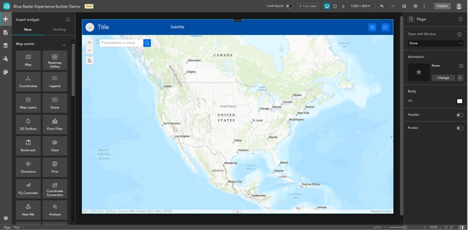
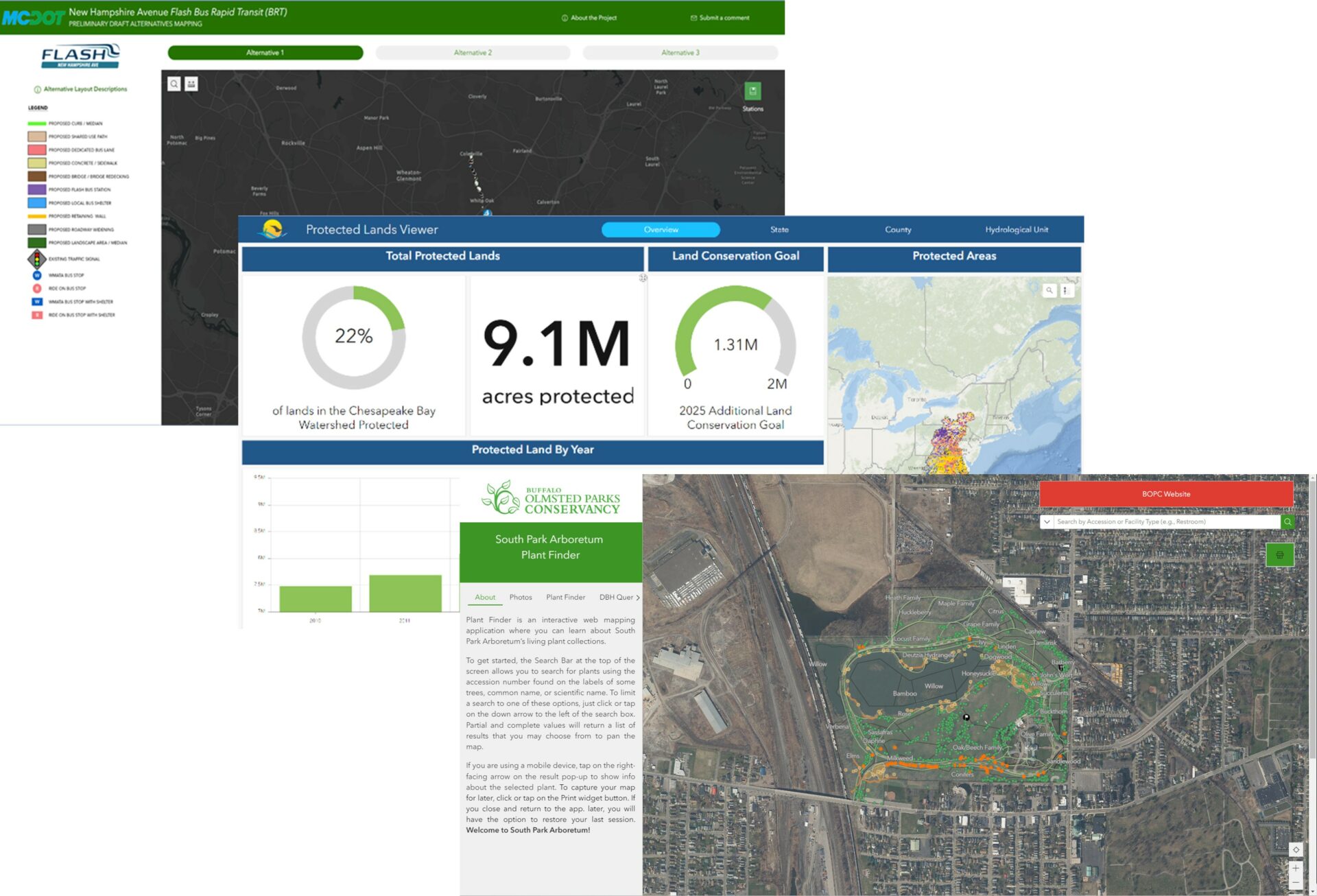
ArcGIS Pro represents the next generation of GIS software, offering enhanced capabilities and a modernized user experience. With ArcGIS Pro, users can leverage advanced 2D and 3D visualization tools, perform complex spatial analysis, and collaborate more effectively with colleagues. Additionally, ArcGIS Pro is tightly integrated with the ArcGIS platform, providing seamless connectivity to ArcGIS Online and other Esri services.

ArcMap to ArcGIS Pro

Another key benefit of ArcGIS Pro is its enhanced performance and scalability. Utilizing a 64-bit architecture, ArcGIS Pro can handle larger datasets and perform complex analyses more efficiently than its predecessor. This improved performance translates to increased productivity for GIS professionals, allowing them to accomplish more in less time.

By migrating to ArcGIS Pro, organizations can unlock new possibilities for GIS projects and workflows, ultimately driving better decision-making and outcomes.

The Challenges of Migration

While the benefits of ArcGIS Pro are clear, migrating from ArcMap can present some challenges. Legacy data formats, customized workflows, and familiar interfaces may need to be adapted to fit the new environment. Furthermore, ensuring data integrity and preserving existing projects during the migration process is paramount. Without proper planning and expertise, organizations may encounter delays, disruptions, and potential data loss.

However, many users find that the benefits of ArcGIS Pro outweigh any challenges associated with the transition. With proper planning and support, the migration to ArcGIS Pro presents an opportunity for GIS professionals to elevate their skills and unlock new possibilities in spatial analysis and visualization. The modern interface and streamlined workflows make it easier to accomplish common tasks, and the enhanced capabilities open up new possibilities for GIS analysis and visualization.

Blue Raster's Migration Services

At Blue Raster, we understand the complexities of migrating from ArcMap to ArcGIS Pro. We recognize that every organization has unique needs and challenges when it comes to migrating from ArcMap to ArcGIS Pro. We believe that successful migration goes beyond simply transferring data from one platform to another; it's about optimizing workflows, maximizing efficiency, and empowering organizations to achieve their GIS goals. That's why we take a customized approach to every migration project, ensuring that our solutions align with your specific goals and workflows. With our team of GIS ArcGIS Pro certified experts, we offer tailored migration services to meet the unique needs of each organization.

Our proven methodology ensures a smooth and efficient transition, minimizing downtime and maximizing productivity. Whether you're a small business, government agency, or multinational corporation, we're committed to helping you unlock the full potential of ArcGIS Pro and take your GIS workflows to the next level.

Blue Raster understands the transformative potential of ArcGIS Pro and is committed to helping organizations maximize its full GIS capabilities. With Blue Raster as your migration partner, you can trust that your transition to ArcGIS Pro will be smooth, efficient, and ultimately transformative for your organization.

Learn more about our work

Contact Us

  • This field is for validation purposes and should be left unchanged.


Transitioning from Web AppBuilder to Experience Builder: Get Ready for a New Experience

ArcGIS Web AppBuilder has been a reliable product for many GIS users to quickly deploy applications, serve data out to their customers, and provide access to maps and analysis. It has a breadth of out-of-the-box widgets available and allows ease of UI/UX design for rapid application deployment. As ArcGIS Web AppBuilder now officially moves towards retirement, ArcGIS Experience Builder presents itself a suitable commercial-off-the-shelf replacement for users to continue building and deploying their web applications.

ArcGIS Experience Builder - migrate from Web AppStudio today

What is Experience Builder?

ArcGIS Experience Builder, introduced as a next-generation web application and design tool, empowers users to create immersive and interactive web applications with ease. As an upgrade to its predecessor, It  provides a more intuitive and flexible environment for designing web applications, allowing users to craft dynamic layouts and incorporate advanced functionality effortlessly.

One of the standout features of is its drag-and-drop interface, which simplifies the process of building web applications. Users can easily add and customize widgets, such as maps, charts, and media elements, by simply dragging them onto the canvas and configuring their properties. This intuitive approach streamlines the development process, reducing the learning curve for both new and advanced users.

experience-builder-layout

Another notable aspect of Experience Builder is its integration with other ArcGIS products and services. Tapping into the power of ArcGIS Online and ArcGIS Enterprise, users can easily incorporate maps, layers, and spatial analysis tools into their web applications, enriching them with geospatial data and insights.

Why Experience Builder?

For those familiar with ArcGIS Web App Builder, the transition may initially seem daunting. After all, change can be unsettling, especially when it involves a tool as integral to workflows as Web App Builder. However, as we delve deeper into what this new tool offers, it becomes evident that this evolution represents a significant leap forward in GIS capabilities.

The transition from ArcGIS Web App Builder to ArcGIS Experience Builder marks a significant milestone in the evolution of GIS web application development. By embracing its innovative features and capabilities, users can unlock new possibilities for creating immersive and interactive web experiences that resonate with their audiences.

ArcGIS Experience Builder offers greater flexibility in terms of design and customization. With support for responsive layouts, users can ensure that their web applications adapt seamlessly to various screen sizes and devices, providing an optimal viewing experience for end-users across desktops, tablets, and smartphones. Additionally, it provides extensive styling options, allowing users to fine-tune the appearance of their applications to match their branding or design preferences.

Try Experience Builder

How do I Migrate from Web AppBuilder to Experience Builder?

As with transitioning to newer technology, transitioning your ArcGIS Web AppBuilder application to ArcGIS Experience Builder requires some effort. Prior to migration, it is important to review the widget functionality matrix which details the Web AppBuilder widgets that were migrated to Experience Builder and all new widgets available in Experience Builder as well as their functionalities. Keep in mind that the migration process might require modifications to ensure smooth functionality your newly configured application.

Luckily there are several resources to help your migration. Here are a few:

Blue Raster is Here to Help

Web AppBuilder to Experience Builder

Blue Raster has assisted numerous clients, spanning a variety of industries, in both developing Experience Builder applications and migrating existing Web AppBuilder apps into Experience Builder. Since the two applications are not completely analogous, we are here to guide you every step of the way.

Experience Builder provides a wide range for customization and design, allowing for applications with multiple pages, and no requirement for a map on each page. It is highly responsive, enabling analysts or designers to optimize the application for viewing on multiple devices and resolutions. It also allows more interaction with other ArcGIS apps – like Dashboards and the ability to create a survey within the builder.

experience-builder-examples

If you are new to Experience Builder or transitioning from Web AppBuilder, Blue Raster is here to support you as you embark on your new web experience.

Contact Us

  • This field is for validation purposes and should be left unchanged.


Exploring KoopJS: Simplifying and Enhancing Geospatial Data Integration

In the ever-expanding landscape of web development, the integration and presentation of geospatial data poses unique challenges. As applications increasingly demand the seamless incorporation of location-based information, developers find themselves grappling with diverse data sources, formats, and APIs. It is in this dynamic environment that tools like KoopJS emerge as indispensable assets.

What is KoopJS?

KoopJS is a powerful Node.js-based server application designed to bridge the gap between geospatial data from diverse sources. This innovative tool enables users to maintain their data in its native format and location while effortlessly transforming and serving it for consumption by a multitude of clients.

Serving as a middleware, KoopJS acts as a bridge between diverse geospatial data sources and standardizes the process of accessing and delivering this information. By doing so, it enables developers to efficiently connect to different APIs, transforming and presenting geospatial data seamlessly.

KoopJS diagram

Creating a Custom Plugin

A standout feature of KoopJS is its robust plugin architecture, which allows users to create custom plugins. These plugins define how data from disparate sources should be transformed, offering a high level of flexibility.

For instance, if you needed to showcase data hosted on platform like Carto that may not be inherently compatible with tools in ArcGIS, KoopJS allows you to craft custom plugins to seamlessly integrate and present the data. With KoopJS, a developer can craft a plugin tailored to convert the data into a format compatible with the ArcGIS suite of tools. The custom plugin serves as an intermediate layer between the Carto data source and ArcGIS, ensuring smooth integration and presentation of the data.

KoopJS

Why KoopJS?

KoopJS enhances the accessibility of geospatial data by providing a unified API that can be easily consumed by web applications. This simplifies the development process and promotes interoperability across various platforms. Whether your data is hosted on a different platform or exists in a non-compatible format, KoopJS offers a flexible and scalable solution to elevate your geospatial workflows. This unique application opens up new possibilities for enhancing geospatial workflows and facilitating seamless integration of diverse datasets.

In conclusion, KoopJS is a valuable tool for developers working with geospatial data, offering a practical solution to the challenges of integrating and serving location-based information in web applications. Contact us today to get started.

Learn more about our recent work here.


Contact Us

  • This field is for validation purposes and should be left unchanged.

Data Visualization Training

Data visualization provides a powerful way to communicate data-driven findings, motivate analyses, and aid in decision-making. As organizations further prioritize the need to develop data-driven solutions into workspaces, it becomes important to develop skills and workflows through professional development. International Business and Technical Consultants Inc. (IBTCI), an international development consulting company, needed a program to deliver data visualization training to some of its Monitoring & Evaluation professionals around the world. Using our industry expertise, Blue Raster developed a comprehensive, live virtual data visualization training package to meet the needs of IBTCI.

The IBTCI Monitoring and Evaluation professionals each averaged 10+ years working with data in the fields of global health, education, land management, and other international development fields. Conducted via Microsoft Teams video conferencing, Blue Raster prioritized collaboration and inquiry, which built a gregarious and interactive training for the 20 participants located throughout Kenya, Malawi, and the United States.

Data Vizualization Training
Particpants from Kenya, Malawi, and the US created a virtual community

Data Visualization Training Program

Broken into three 2-hour sessions, we developed a structured and comprehensive approach to virtual data visualization training. Blue Raster Power BI Developer Shannon Lindsay guided participants through discussions and demonstrations on how to visually optimize data for storytelling and decision making.

Session 1

In the first session, participants reviewed and discussed the building blocks of high-impact data visualization. How do you visualize and analyze data so you can extract insights and actionable information? Shannon introduced examples of catering data visualizations to your audience, how to best use your visuals, and developing dashboards.

Session 2

The second session focused on integrating dashboards with Microsoft Excel and Power BI. Power BI allows users to develop a single hub that tracks and manages assets for an organization or project. Additionally, the participants discussed integrating multiple datasets from different sources in order to make captivating and detailed dashboards.

Session 3

The third session provided a chance for the participants to make their own dashboards in Power BI or another program of their choice. Each participant shared their work and received feedback and tips. Additionally, the class discussed using some basic location data in both Microsoft Excel and Power BI.

By the end of the training, participants learned to improve upon their current data visualizations and to consider other applications like Power BI for future projects.  Positive feedback from participants concluded that the data visualization training provided necessary and useful skills in data design and visualization techniques for future projects.

As organizations further prioritize the need to develop data-driven solutions into workspaces, it becomes important to develop skills and workflows towards becoming a data-driven organization through professional development programs. Blue Raster can assist organizations by developing customized fully interactive virtual trainings to build solutions and further the goals of your organization.

Ready to find out more?

Learn more about our training capabilities!