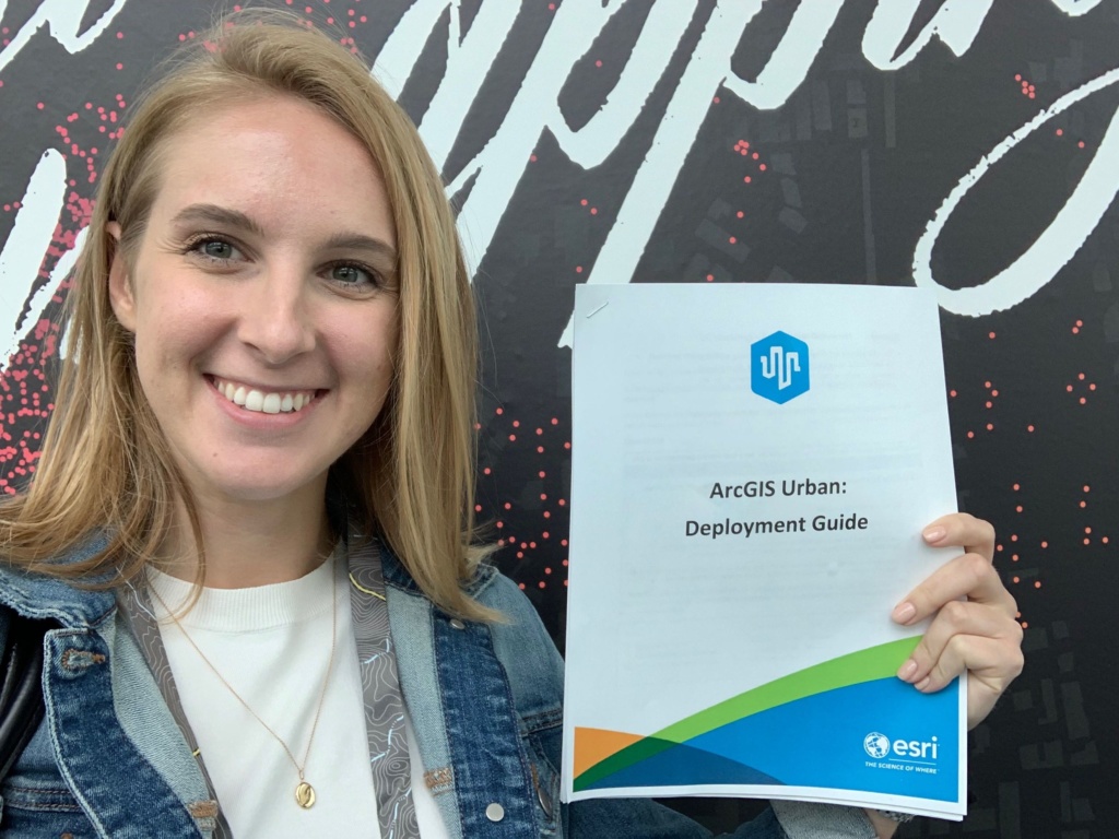

Blue Raster Project Manager Megan Gottfried took her ArcGIS Urban skills to the next level at Esri’s "Deploying ArcGIS Urban" training. The training, held in San Diego just before Esri’s annual User Conference, included other Esri business partners, distributors, and advanced level users from around the world.
ArcGIS Urban is gaining significant attention in the GIS and City Planning & Development industries. The platform is a complete solution allowing municipal planning departments and development-focused NGOs to improve urban planning practices and decision-making on a city-wide scale. Users can use ArcGIS Urban to create 3D renderings of city landscapes, proposed buildings, and compare proposed site projects across key stakeholders.
ArcGIS Urban case study
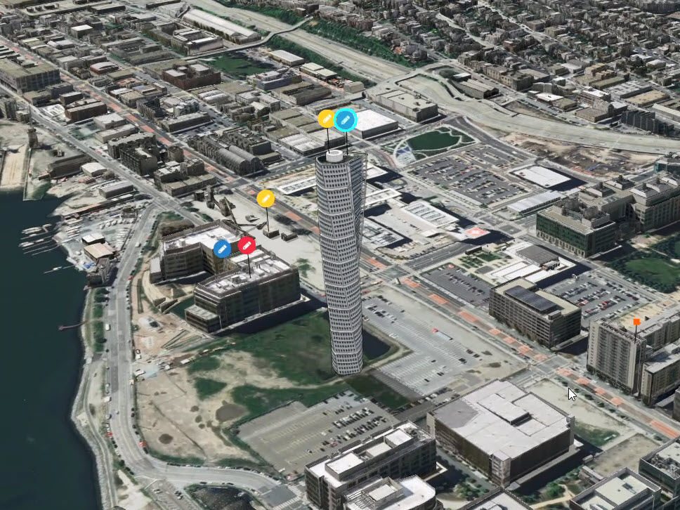
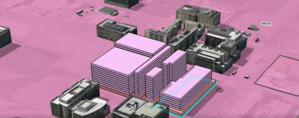
Megan Gottfried used San Francisco as a study area for development and used ArcGIS Urban technology to assist the city’s urban planners with the growing issue of overcrowding. Key program features such as theoretical population and employment projections helped officials to understand the regional severity of the problem and work to find innovative solutions, while 3D building renderings with zoning and building setback details gave realistic building city scapes for user exploration.

"Today's advanced GIS software can now model cities in 3D and integrate the full planning workflow, thereby dramatically enhancing efficiency and effectiveness."
- Scott Edmondson, Senior Strategic Sustainability Planner for the City of San Francisco
Other highlights of the training session included a product demo and an overview of the ArcGIS Urban system. in addition, Megan Gottfried was able to learn both the back-end and front-end ArcGIS Urban platform and provide clients with tips and best practices for deployment. Megan tested the many features of the ArcGIS Urban program and created sample projects & planning files for the San Francisco area. The event concluded with a Q&A session where Megan and her colleagues were able to ask questions about the program and troubleshoot some of their problems.

Learn More
Blue Raster is excited to begin offering ArcGIS Urban solutions for our clients. Are you interested in harnessing the power of informed planning for your business or municipality? Contact us today!
