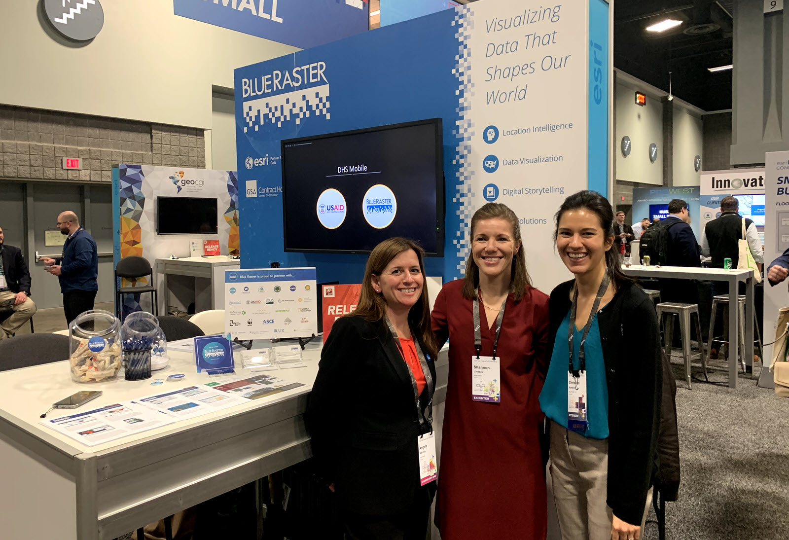
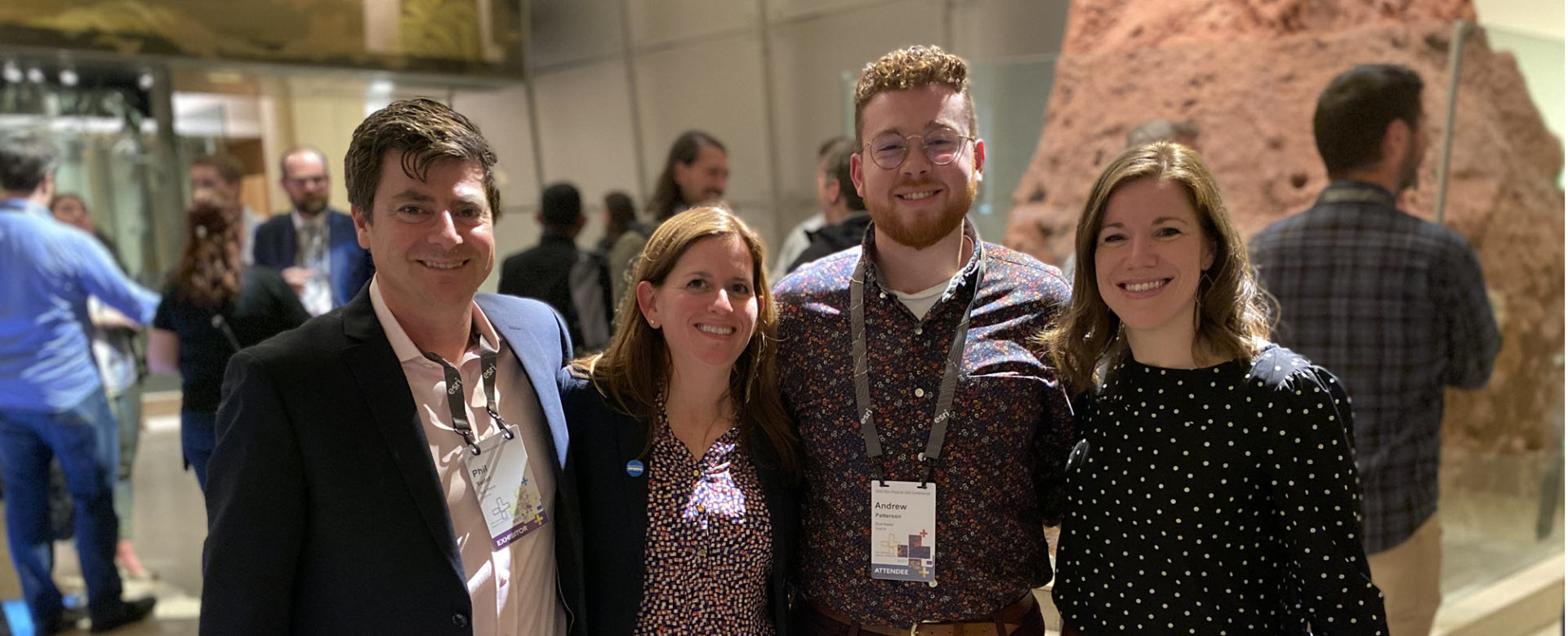
The Blue Raster team recently attended the 2020 Esri Federal GIS (FedGIS) Conference in Washington, DC. The conference brought together over 5,000 GIS professionals from across government agencies to share their knowledge and explore new ways of leveraging GIS in their work. Over the course of three days, Esri staff and industry specialists held presentations and workshops on best practices for location intelligence and their experiences working within the geospatial data community.
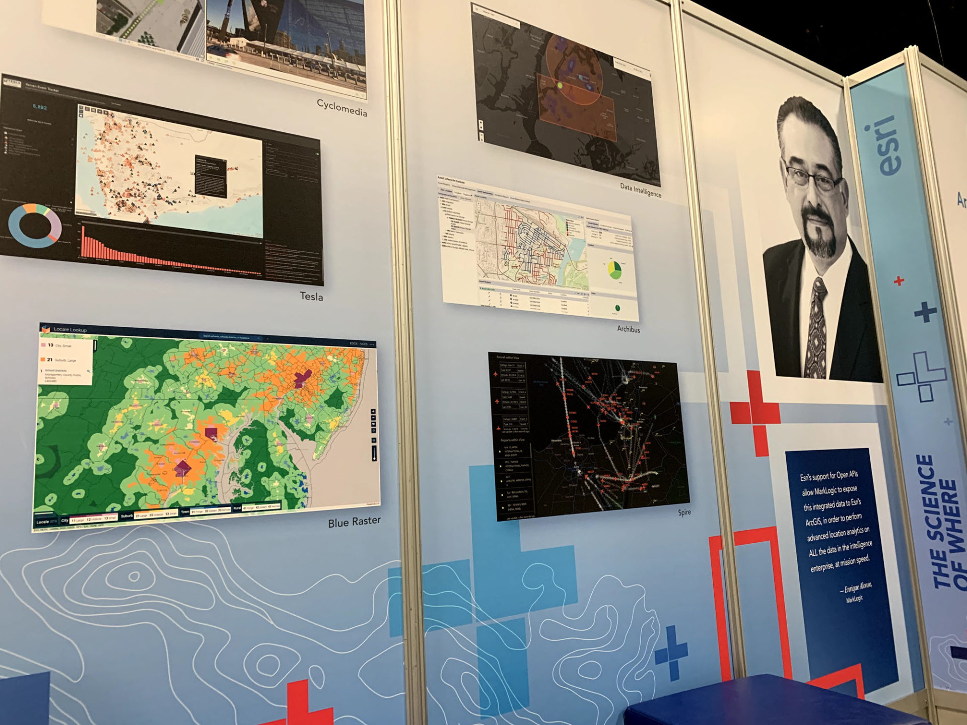
Blue Raster's work with the Alcohol and Tobacco Tax and Trade Bureau (TTB) was highlighted in the FedGIS plenary presentation by Jack Dangermond, and our project with the Department of Education was featured on a Map Gallery wall.
Esri FedGIS Preconference Events
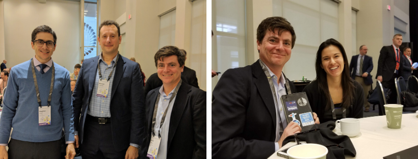
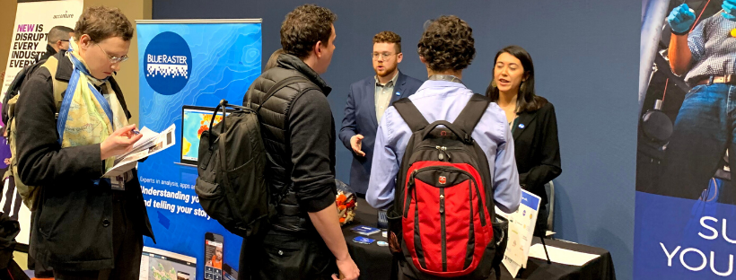
On Monday, Blue Raster had the opportunity to participate in two Esri FedGIS preconference programs:
- The Partner Program brought together startups, emerging businesses, the Esri Partner Network, and alliance partners to understand how to effectively work with Esri software in partnership with Esri to drive success.
- The University Student Program included sessions, workshops, and a career fair event for students in undergraduate and graduate degree programs with interest and experience in GIS and other related fields. Our team co-presented with the Esri StoryMaps team on Storytelling using GIS, helping to showcase our work with the new StoryMaps for ArcGIS and present the features that StoryMaps has to offer.
- New this year was the Esri FedGIS Career Fair for the University students. Blue Raster hosted a table for the career fair portion of the student program, where we had the chance to meet some great students on the cutting edge of GIS technologies, and discuss some of our career opportunities.
Presentations
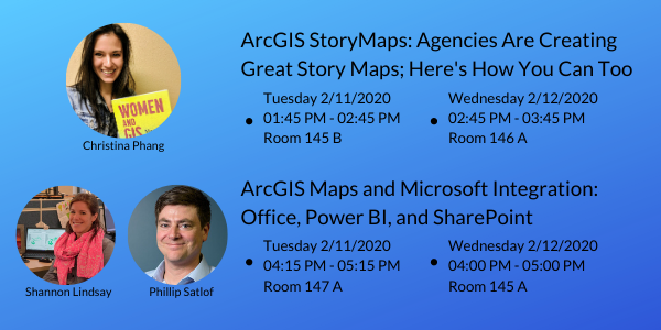
Our team also had the opportunity to see some of the wonderful work that others are doing in the geospatial community, as well as present some of our own work.
Blue Raster team member Christina Nordling discussed How Agencies are using StoryMaps to Share Information.
Shannon Lindsay and Phil Satlof shared their work with Integrating Microsoft Power BI and ArcGIS for the TRACE Program.
Interested In Working With Us?
Reach out to see how we can help you harness GIS technologies, mapping solutions, and data analysis to tackle the challenges you face.

