Esri Nonprofit Specialty
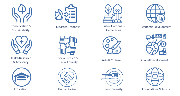
Blue Raster is a proud member of the Esri Nonprofit Specialty. Partners receive this Nonprofit Specialty designation for their alignment with and their knowledge and expertise of Esri’s Nonprofit Organization Program. Additionally, we demonstrate experience with projects in many nonprofit industries: conservation, humanitarian, disaster response, food security, community development, racial equity and social justice, health research, and more.

The Esri Nonprofit Program provides nonprofit organizations low cost licenses and access to a Esri's vast offerings of location intelligence tools and training. We are proud to support a wide variety of nonprofit clients in using these location intelligence tools to help inform decisions and shape programs that meet the needs of their constituents. Receiving the Esri Nonprofit Specialty designation is an exciting next step in furthering our mission to help nonprofit and NGO clients achieve their goals.
Nonprofit Experience
Blue Raster has deep expertise developing platforms for managing and disseminating geospatial data and analysis to support conservation efforts with the Esri ArcGIS platform. Since our founding in 2002, we've had the honor of working with over 70 nonprofits and NGOs. For example, we work with leading nonprofit conservation organizations including the World Resources Institute, the Jane Goodall Institute, The Nature Conservancy, World Wildlife Fund, Wildlife Conservation Society, NatureServe, National Audubon Society, Stimson Center, and more.

Blue Raster continues its commitment to bringing the latest in geospatial technologies to leading conservation, global development, humanitarian & disaster response, social justice, and health research & advocacy organizations.
“We look forward to expanding our work in the nonprofit sector as part of this Esri specialty,” commented Michael Lippmann, Principal/Founder of Blue Raster. “Our team thrives on helping organizations make connections between data to better communicate and power their impact.”

Are you a nonprofit looking to better utilize your data?
Contact us today to learn more about the Esri Nonprofit Organization Program!
Nonprofit Specialty
- Posted in
- Nonprofit/NGO
- Community
- Conservation
- Disaster Response
- Economic Development
- Esri
- GIS
- Health
- Human Rights
- Public Gardens
- Sustainable Development Goals
Related Posts
- South Park Arboretum’s Plant Finder uses ArcGIS Experience Builder to Showcase Restoration Efforts
- Jane’s Green Hope: Blue Raster supports 87 Years of Jane Goodall’s Impact
- ArcGIS Urban: Take City Development Further
- Highlighting Jane Goodall’s Conservation Approach with a New Story Map
- Sustainable World Conference in Geneva: Collaborating for a better world
