
Blue Raster is proud to be a Partner in the Esri State and Local Specialty program. The State & Local Government Specialty program is designed to help Esri customers identify providers with ArcGIS expertise and substantial experience in working with local, state, county, and city governments. Partner companies must demonstrate a track record of delivering value to these organizations.
State and Local Experience
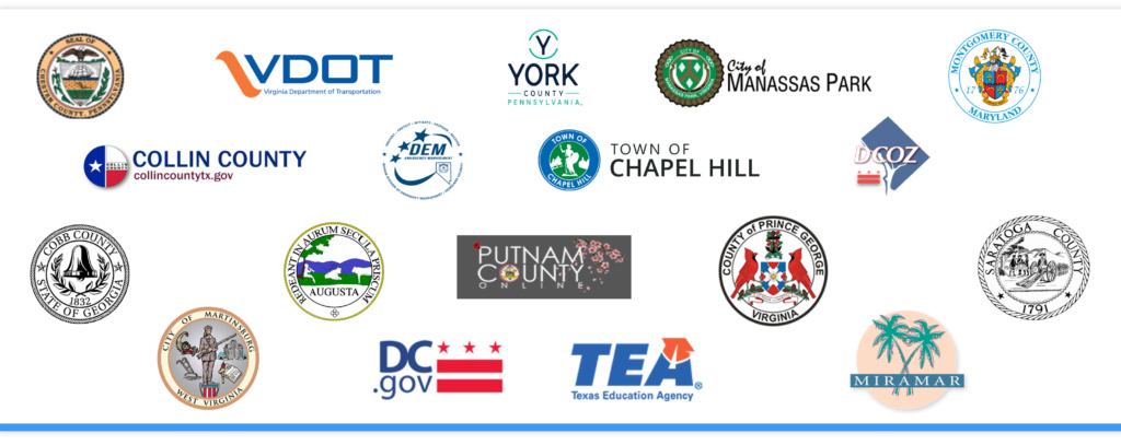
Blue Raster supports the development of platforms and applications that help state and local organizations manage, use, and disseminate geospatial data and analysis to for better decision making regarding policy, budgets, planning, and more. Using the full Esri platform, we provide a full range of services setting up ArcGIS Enterprise, ArcGIS Hub site, and Operations Dashboards to optimizing Field GIS tools like Field Maps, Survey 123, ArcGIS Workforce, and ArcGIS Collector. Our state and local support has spanned the nation from coast to coast including small towns, to major metropolitan areas.
Our solutions, leveraging all aspects of the ArcGIS platform have supported:
- Emergency Response
- Fire Services
- Law Enforcement
- Fish & Wildlife
- Planning & Development
- Transportation
- COVID Response

Blue Raster solutions and services are available to state and local agencies via the GSA schedule as well as a number of state contracts including Virginia's eProcurement Portal (eVA ID #VS000009118), Maryland CATS+, and Pennsylvania Disaster Emergency Suppliers.
“We’re proud to have our state and local experience and expertise recognized with our place in the specialty program,” said Michael Lippmann Principal/Founder of Blue Raster. “We’re looking forward to expanding out work with communities to ensure data is being used and understood in ways that can make a direct impact on how citizens live, work, and play.”

We’re here to serve any state and local organization looking to better utilize their data
Contact us today to learn more about the Esri State and Local Specialty Program!
- Posted in
- State & Local
- Esri
Related Posts
- Driving Forward with VDOT’s Integrated Directional Signing Program
- Highlighting Jane Goodall’s Conservation Approach with a New Story Map
- ArcGIS Hub: Grow Your Local Economy
- ArcGIS Monitor Maintains Healthy ArcGIS Enterprise for Collin County, TX
- Blue Raster Exhibits and Presents at the 2023 North Carolina ArcGIS Users Group Conference