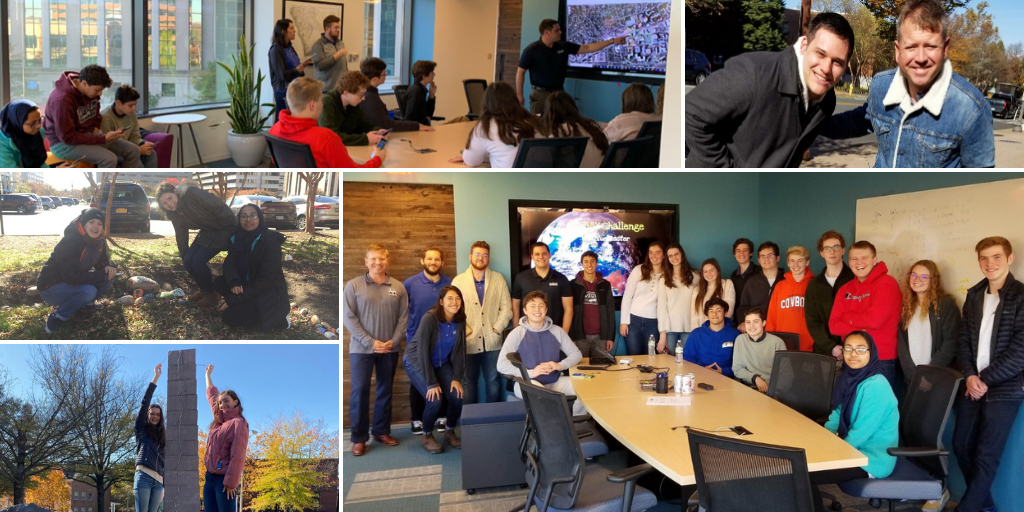
GIS Day is a day dedicated to showing, teaching, and inspiring others. For the eighth year in a row, Blue Raster hosted students from Washington-Liberty High School and demonstrated real world applications of GIS. Led by teacher Ryan Miller, the students have the chance to learn about geospatial technologies through a program called Geospatial Semester.

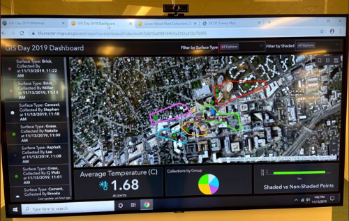
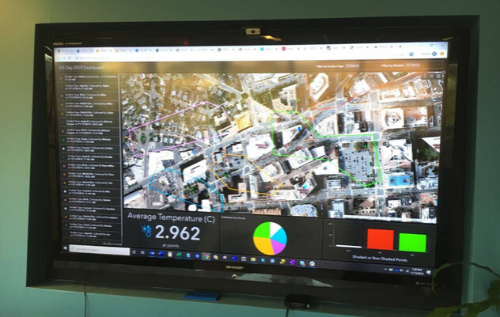
The Blue Raster team shared real-world GIS success stories through a round of lightning talk presentations on recent and ongoing projects. Despite the cold November weather, we ventured outside and collected temperature data from around the Arlington area. Then, the students collaborated on an Esri Operations dashboard to visualize the data.
GIS Day Dashboards


We wrapped up our day with a pizza lunch and ice cream from the Penn State creamery. We look forward to next year and a new group of students!
Read more about Blue Raster's past GIS Day activities here.
