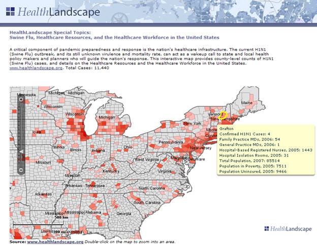
Blue Raster has partnered with HealthLandscape to design an interactive web atlas that allows health professionals, policy makers, academic researchers and planners to combine, analyze and display information in ways that promote understanding and improvement of healthcare. This gives health practitioners the tools they need to create simple, effective displays of their neighborhoods, communities, and regions. HealthLandscape allows organizations to reveal relationships through:
- Distribution Mapping of point data, such as patient concentrations around clinic locations, polluted water sources, or high poverty areas
- Service Area Mapping, analyzing population data against known encounter information to define underserved areas
- Market Penetration Mapping, revealing the proportion of people visiting a specific site from nearby areas calculating penetration rates.
For more information regarding HealthLandscape please visit http://www.healthlandscape.org/.
- Posted in
- Health
- Nonprofit/NGO