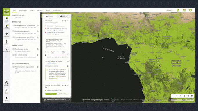
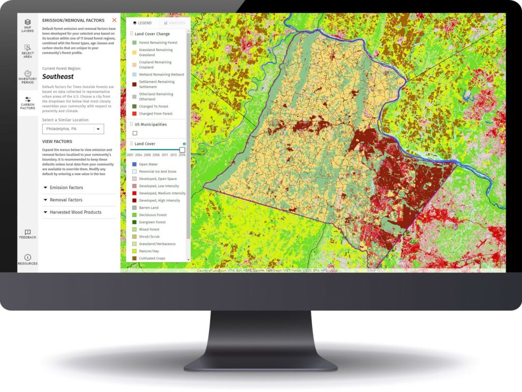
Many organizations prioritize the accessibility of imagery and image-derived products for visualization and analysis among both internal and external users. As such, efficient management and delivery workflows are crucial for these organizations to fully harness the power of spatial data and maximize their product impact. Use cases for aerial images and raster data include land cover classification, urban planning, natural resource management, emergency response and disaster management, precision agriculture and conservation, environmental monitoring and change detection/climate change analysis.
Blue Raster specializes in utilizing the robust capabilities of GIS and cloud services to facilitate the seamless assembly, analysis, management and dissemination of multiresolution imagery, and raster data from different sources and timeframes. Our expertise helps organizations enhance their spatial data management and analysis capabilities.
Employing ArcGIS for Imagery Hosting, Analysis & Management
Empowered by cutting-edge technology, Blue Raster excels in tapping into the full potential of ArcGIS for image hosting, analysis, and delivery workflows across ArcGIS Enterprise, ArcGIS Pro, and ArcGIS Online. With ArcGIS Image Server and ArcGIS Image for ArcGIS Online, we enable organizations to host and conduct dynamic imagery analysis on an unprecedented scale.
The scalability and performance of ArcGIS Image Server redefines the boundaries of what is achievable in geospatial analytics. Additionally, by integrating imagery into the ArcGIS Online platform, organizations can create compelling and informative maps that facilitate a deeper understanding of their spatial data.
 Providing On-Demand Imagery Delivery Services
We specialize in providing swift, on-demand collection and smooth delivery of imagery through versatile means including API keys, custom widgets, online user interfaces, and application plugins. Our expertise ensures that you have the necessary tools and support to cater to diverse requirements and preferences.
Whether you need quick access to specific imagery, or a tailored solution embedded within your applications, Blue Raster stands ready to assist, offering a range of flexible and efficient options to meet your unique needs.
Furthermore, we recognize the importance of seamless delivery workflows in ensuring timely access to critical imagery resources. Our solutions are designed to optimize delivery pipelines, minimizing latency and maximizing efficiency. Whether it's delivering imagery to remote field teams or integrating seamlessly with existing systems, we prioritize speed, reliability, and scalability to meet the dynamic needs of our clients.
Our commitment to innovation extends beyond just technology; it's ingrained in our culture. We're constantly exploring new ways to push the boundaries of what's possible, whether it's through advancements in artificial intelligence, cloud computing, or data visualization. By staying at the forefront of technological innovation, we empower our clients to stay ahead of the curve and achieve their objectives with confidence. Our teams of professionals are here to assist you in developing and deploying your delivery workflows.
Pioneering Collaborative Cloud-Based Imagery Management
For over a decade, Blue Raster has been working with clients and partners to deliver large volumes of imagery to support various geospatial workflows. Our cloud specialty has opened new frontiers for collaborative management. Maximizing the cloud's scalability, organizations can now store, share, and analyze vast amounts of data in real-time. This not only streamlines internal processes but also facilitates effortless collaboration with external stakeholders.
Across the globe, our clients and partners are employing our services to manage and deliver their imagery to support their projects and organizational goals. Here are some examples:
- Promoting Sustainable Forestry Practices with High Resolution Imagery
- Utilizing Invasive Plant Species to Mitigate Lake Pollution in Benin
- Estimating Community GHG Emissions from Land Use Change
- Bringing Transparency to Transboundary Water Policy in the Mekong River Basin
- Using High-Resolution Imagery to better respond to Fires
Learn more about our work here
Contact Us
- Posted in
- Amazon Web Services
- ArcGIS Enterprise
- ArcGIS Image Extension for Server
- ArcGIS Online
- ArcGIS Pro
- Climate
- Cloud
- Conservation
- Development
- Disaster Response
- Environment
- Esri
- Land Use
- Microsoft Azure
- Natural Hazards
- Nonprofit/NGO
- State & Local
Related Posts
- Esri ArcGIS Cloud Specialty: Elevating our clients’ GIS capabilities to the sky
- National Fish and Wildlife Foundation Carbon Benefits Calculator
- Conducting Research and Data Analysis for The Nature Conservancy’s Coastal Restoration Opportunities Project
- Bringing Modern GIS Capabilities to Natural Lands
- Promoting Sustainable Forestry Practices with High Resolution Imagery


 Providing On-Demand Imagery Delivery Services