The Census Mapping program at the National Center for Education Statistics (NCES) – U.S. Department of Education has just released MapED, a new online mapping platform developed by Blue Raster and partner, Sanametrix, to visualize education and census data across the country.
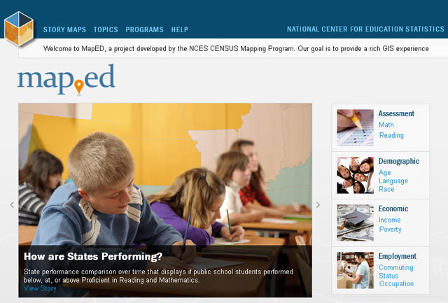
The platform unites NCES and CENSUS datasets with GIS mapping capabilities. The general public can investigate education and demographic trends on local, regional, and national scales. The improved workflow makes it possible for anyone to discover, map, and analyze the data with ease, as users walk through selecting a program or topic area and explore and visualize the data on customizable maps.
Initially, the platform contains school, district, and or state-level data from:
- American Community Survey (ACS)
- Common Core of Data (CCD)
- Integrated Postsecondary Educational Data System (IPEDS)
- National Assessment of Educational Progress (NAEP)
- the Private School Universe Survey (PSS)
- More data and programs are planned in the future.

“MapED is a valuable resource. The data has always been available but the ability to narrow down hundreds of Census demographic indicators over multiple years, starting out with a topic of interest; and then visualize it on a national map down to the district or school level is a new and powerful way to make it accessible to a much wider audience. ”
-Tai Phan, Census Mapping Lead at NCES
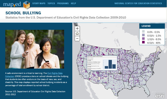
MapED also features a series of Story Maps that will be released in the coming months. The initial release features Story Maps exploring school bullying on the basis of race, sex, and disability as well as public school student performance on the National Assessment of Educational Progress (NAEP) from 2003 to 2013. Future releases will include additional story maps including school enrollment by race comparisons using ACS data.
MapED is developed using the ArcGIS API for JavaScript and ArcGIS Server and uses .NET web services to automate the addition of new data each year. Esri JavaScript templates and ArcGIS Online both support the development of story maps.
To learn more about the project and view the application, visit NCES MapED.