The National Alliance for Public Safety GIS Foundation (NAPSG), is committed to enhancing public safety one community at a time and building a more resilient nation across all levels of government. With the help of Blue Raster, NAPSG enhanced their website in two ways:
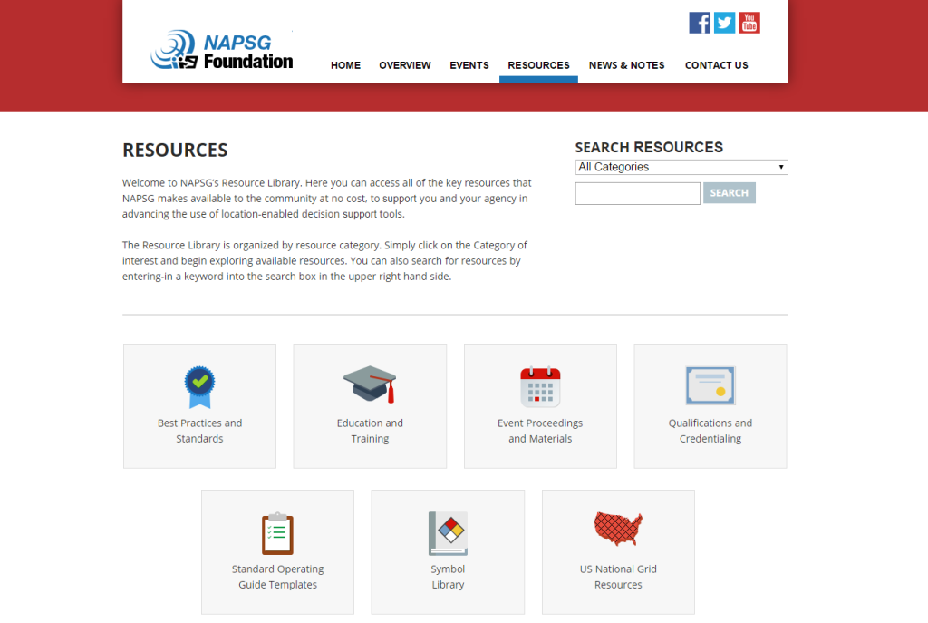
- Modernize the resource library turning it into an organized, user-friendly data outlet
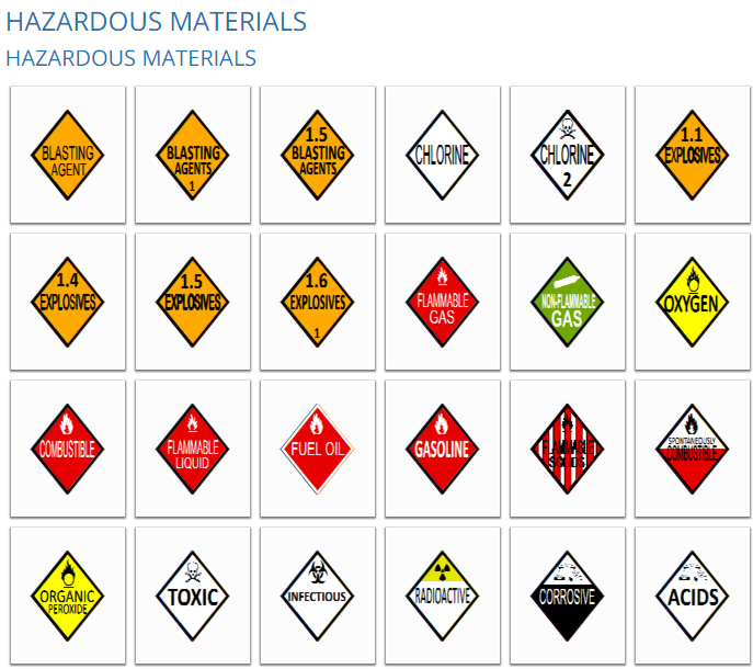
- Created a symbol library establishing a common language for incident information
The Resources Page is a publicly accessible data platform, allowing communities and local entities access to key resources that aid in decision making. The Resources page is built with Wordpress and features newly organized categories and search functionality, Researchers can now pinpoint what is needed and where to find it quickly rather than spending time scrolling through information.
Built with React JS, Flux and Python, the Symbol Library provides a set of standardized incident symbols that can be used on maps and in GIS applications. Framework and guidelines are included to ensure that all of the downloadable data is used properly and consistently. Complete with its own Library Tool, symbols can be downloaded on an individual level or by topic.
“Blue Raster understood our community’s needs and requirements out of the gate. This made designing the solution for our Symbol Library Tool and reorganization of resources on our website a much more streamlined and efficient process. Again the Blue Raster Team exceeded our expectations.”
-Rebecca Harned, Senior Program Manager, National Alliance for Public Safety GIS Foundation


