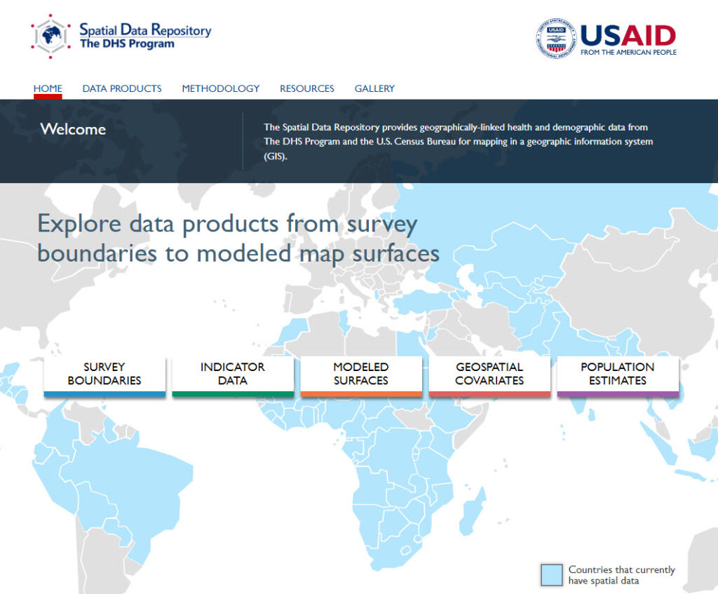
You may be familiar with the USAID funded DHS Program Spatial Data Repository (SDR) and use it to access spatial and non-spatial indicator data produced by The DHS Program surveys. However, if you have not visited recently or are new to the tool check it out today!

There are brand new features, like a Model Dataset to use for familiarizing yourself with The DHS Program data, lesser known features like Geospatial Covariates and Modeled Surfaces and even some amazing new visualizations under construction that will debut in spring 2024.

The new Model Dataset is useful for learning how to use DHS Program data to produce your own results.
The SDR is a custom application built with JavaScript, HTML, CSS, Python, Node and other tools. It relies on Esri’s ArcGIS Enterprise for serving boundary files, Python tools for creating customized datasets and The DHS Program Indicator Data API for instant access to the vast universe of DHS Program survey data and Amazon Web Services (AWS) for hosting and serverless solutions. Blue Raster is a trusted technology partner to The DHS Program with over 15 years of dedicated service to the USAID funded project.
Keep your eye on this space and visit the Spatial Data Repository today!

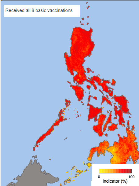
Download Modeled Surfaces produced from DHS Program survey estimates like this one from the Philippines.
- Posted in
- Amazon Web Services
- ArcGIS Desktop
- ArcGIS Enterprise
- Esri
- Federal
- JavaScript API
- Open Data
- Sustainable Development Goals
Related Posts
- World Water Day: New ways to see WASH data on the Spatial Data Repository
- Virtualizing ArcGIS in the Cloud
- Open Data and Cool Apps: Blue Raster Presents at IMIA
- Blue Raster Pioneering Imagery Management Technology and Delivery Workflows with ArcGIS
- Esri ArcGIS Cloud Specialty: Elevating our clients’ GIS capabilities to the sky
