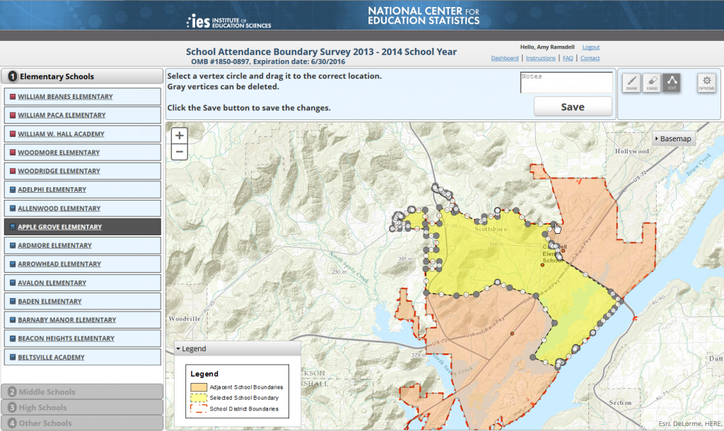
Beginning in November 2013, school districts across the United States will be able to draw, upload, or update previous year school boundaries in a web-editing application as part of the Department of Education’s National Center for Education Statistics (NCES).
Blue Raster developed NCES’s online feature-drawing and editing application using Esri’s ArcGIS for Server and JavaScript API. One of the biggest challenges was offering a customized editing toolset for the non-technical district representatives who best know their school attendance areas.
Once processed, the school boundaries will be freely available for visualization and download on the NCES School District Demographics System website. By providing the public with detailed boundary information, it will be possible for the public, researchers, and policy makers to examine relationships between schools covering many demographic, social and economic indices.
NCES has initiated this 2013 School Attendance Boundary Survey (SABS) with support from the U.S Census Bureau, to collect school boundaries for the 13,000+ U.S. school districts. This represents more than 100,000 public elementary and secondary schools from the Common Core of Data (CCD) school universe.
Blue Raster has delivered innovative data-visualization techniques for NCES using the latest Esri ArcGIS-for-Server technologies, ArcGIS Online offerings, Python and many JavaScript tools such as data-driven documents (d3.js) .

