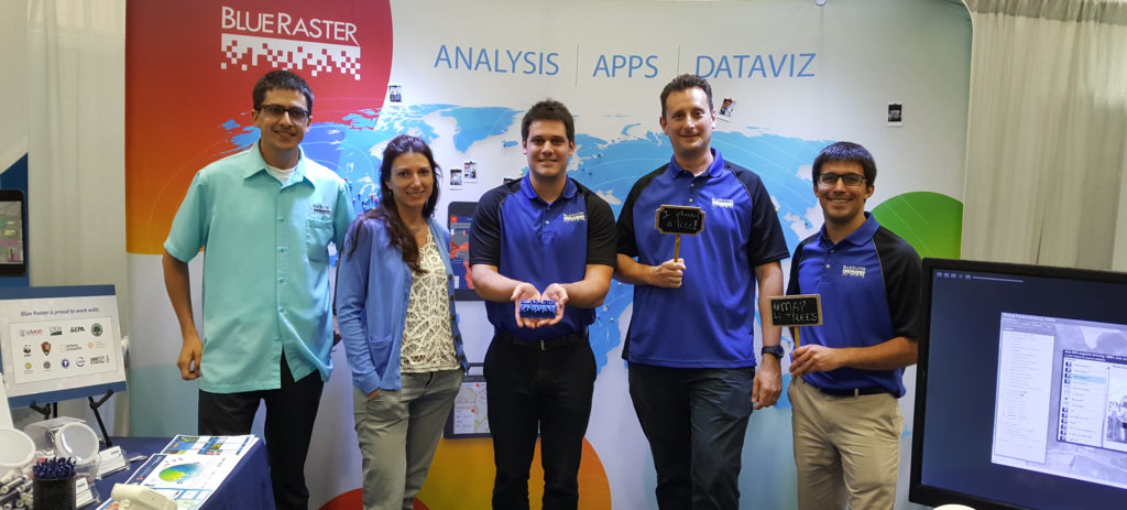
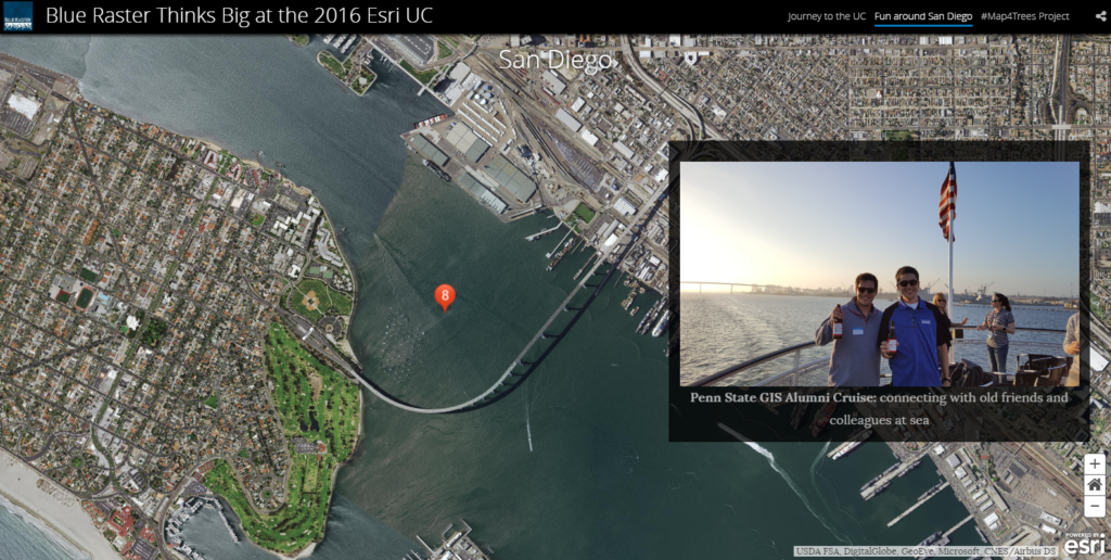
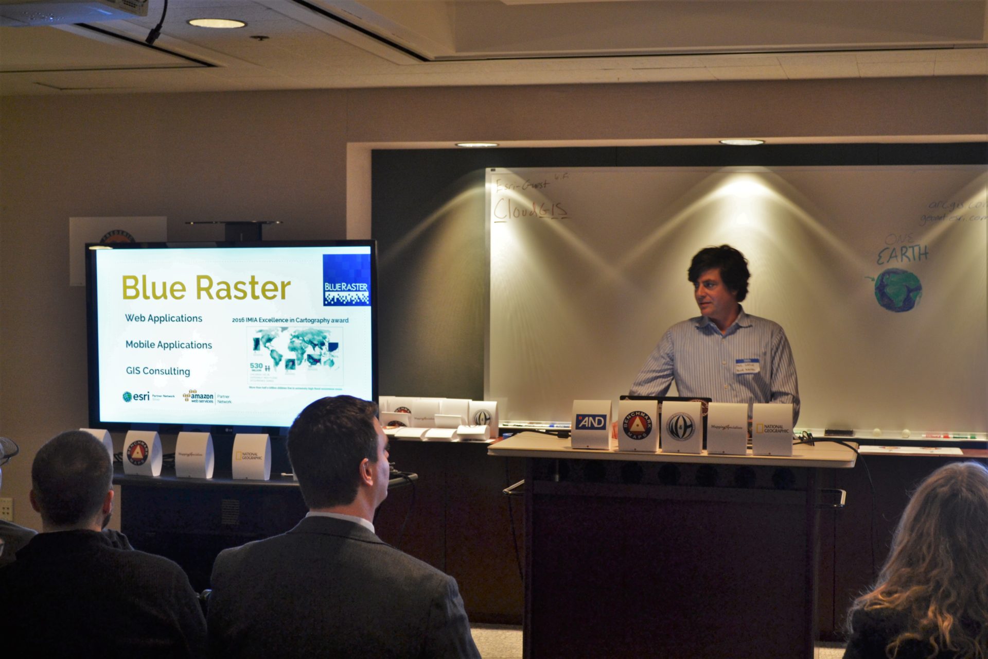
Blue Raster Senior Project Manager, Phil Satlof, presented as an invited guest for the International Map Industry Association (IMIA) DC meetup.
From the IMIA website, the mission of the organization is defined:
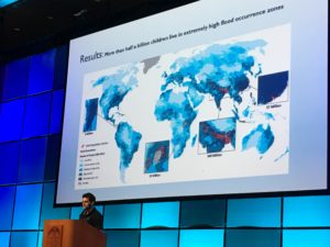
Rosslyn based Esri DC R+D Center hosted the event, featuring presenters from the US Government, private industry and non-profit sectors. Blue Raster and others shared the latest ideas around Open Data and Cool Apps . Alongside presenters from the US Census Bureau, US Forest Service and NOAA, Phil used the opportunity to highlight several long term Blue Raster projects and their data sources:
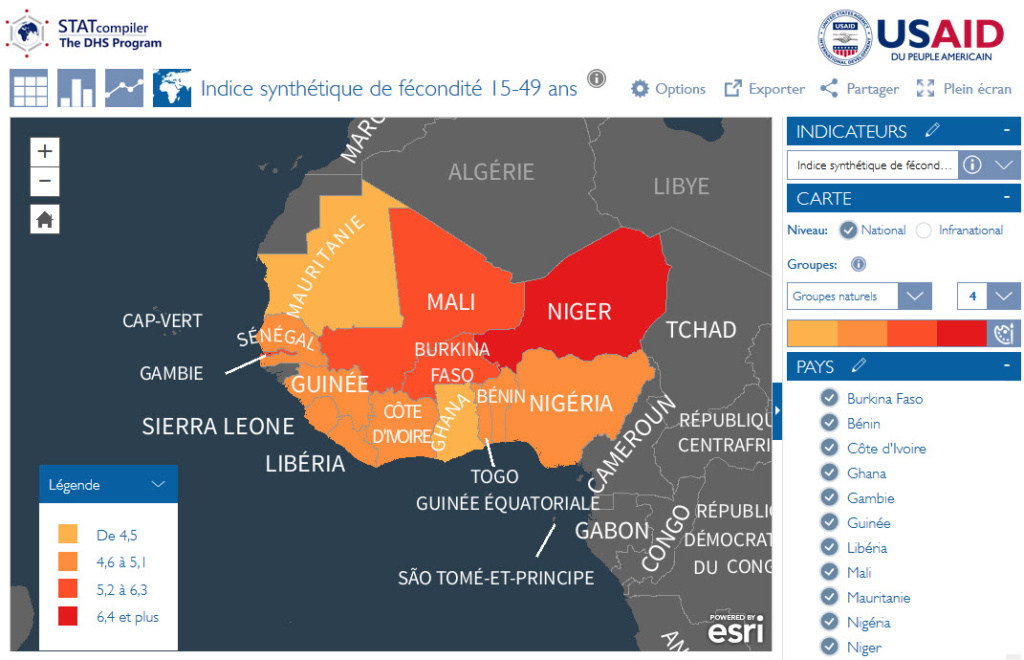
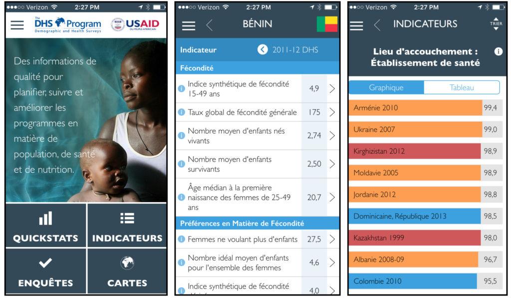
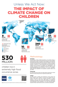
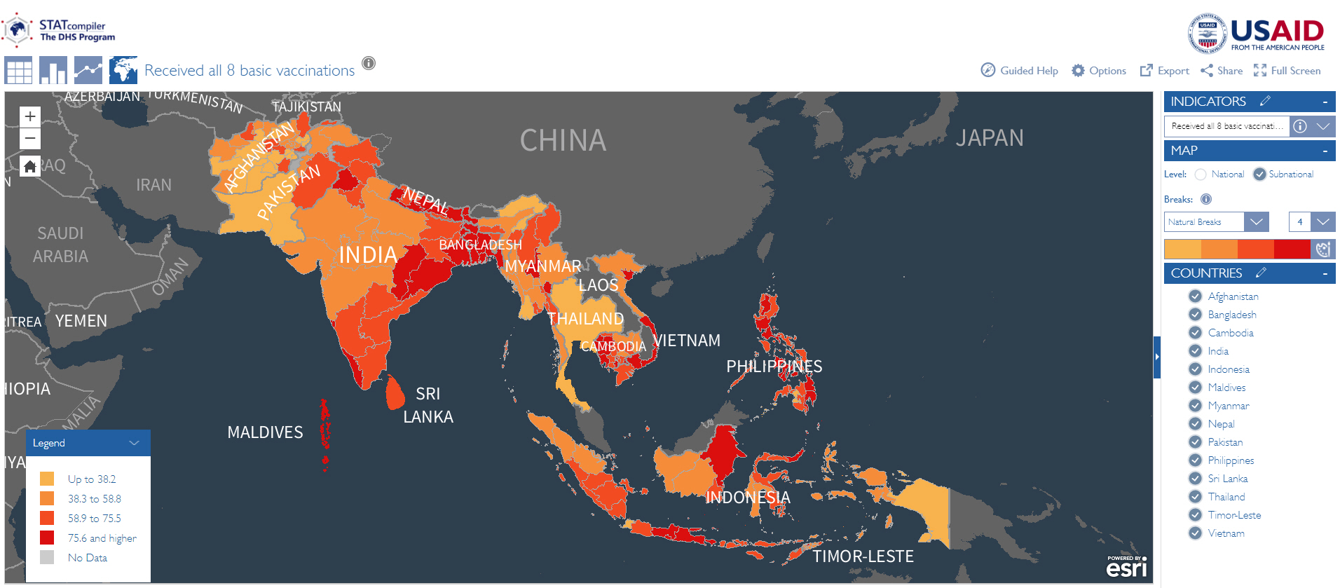
- The DHS Program funded by USAID. The open data source is The DHS Program API – also built by Blue Raster

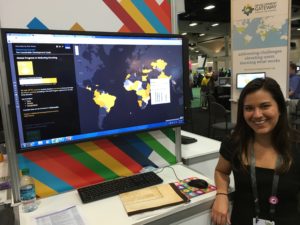
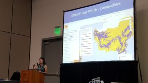
- World Resources Institute (WRI) Map Builder: The open data sources are NASA and UMD

- Posted in
- Open Data
- Environment
- Esri
- Federal
- GIS
Other presenters focused on the challenges of maintaining open data and how the Census can focus resources on low response areas.
Look for Blue Raster at upcoming IMIA meetups in the near future!