Up until the end of the American Civil War, both present-day Arlington County and Alexandria County were included under the Alexandria County name. Then, in 1870, Virginia's re-written Constitution called for the state’s many incorporated cities to become independent from their respective counties. Thus, Alexandria City separated from the County of Alexandria, which was renamed to “Arlington County” to avoid confusion.
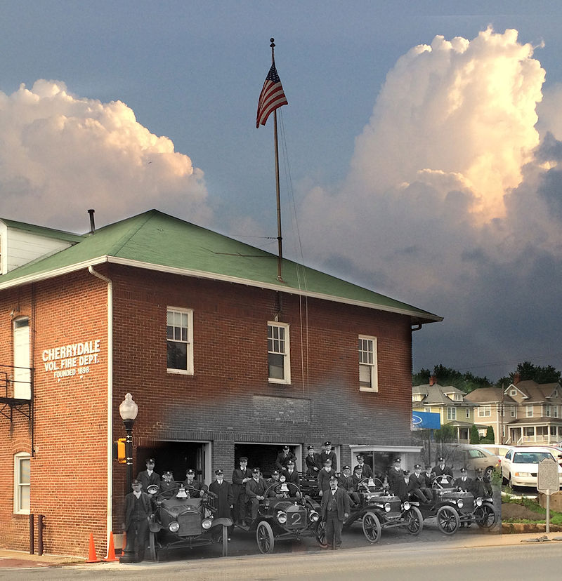
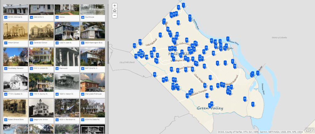
Blue Raster partnered with the Arlington Historical Society to create a StoryMap celebrating Arlington County's centennial anniversary. This StoryMap highlights 115 points of historical significance throughout the county, as curated by the Arlington Historical Society. The map displays a diverse range of feature types, including bridges, farmhouses, mansions, schools, and more. Each location also features a high-quality picture, modern-day address, and informative site description.

Arlington County Centennial StoryMap
This StoryMap also features a custom basemap, created from scratch by Blue Raster’s GIS and design teams. This basemap gives viewers a better view of what Arlington County looked like in 1920, including historic street and community names. In addition to a view of the past, this basemap also contains elements of the present. Zooming in activates a layer showing current-day building footprints that can help the viewer relate present locations to historical points of interest.
Since our inception in 2002, Blue Raster has been headquartered in Arlington County, Virginia. We always love working with local businesses and organizations, and we look forward to celebrating the county’s centennial anniversary with this StoryMap.
Let Blue Raster create your organization’s next StoryMap. Contact us today to get started!
Related Posts
- A Look at the Ohio River: Past, Present, and Future
- Make Way for Whales (And Environmental Hope)
- Celebrating 60 Years of Discovery with Jane Goodall
- Highlighting Jane Goodall’s Conservation Approach with a New Story Map
- Empowering Freshwater Communities and Indigenous People through Immersive StoryMaps


