Our Work

Blue Raster helps you tell your story through interactive
mapping technology. Make your message clear, exciting,
and user-friendly for both mobile and web platforms.

Tag: Amazon S3

Improving Deforestation Risk Management in Commodity Supply Chain

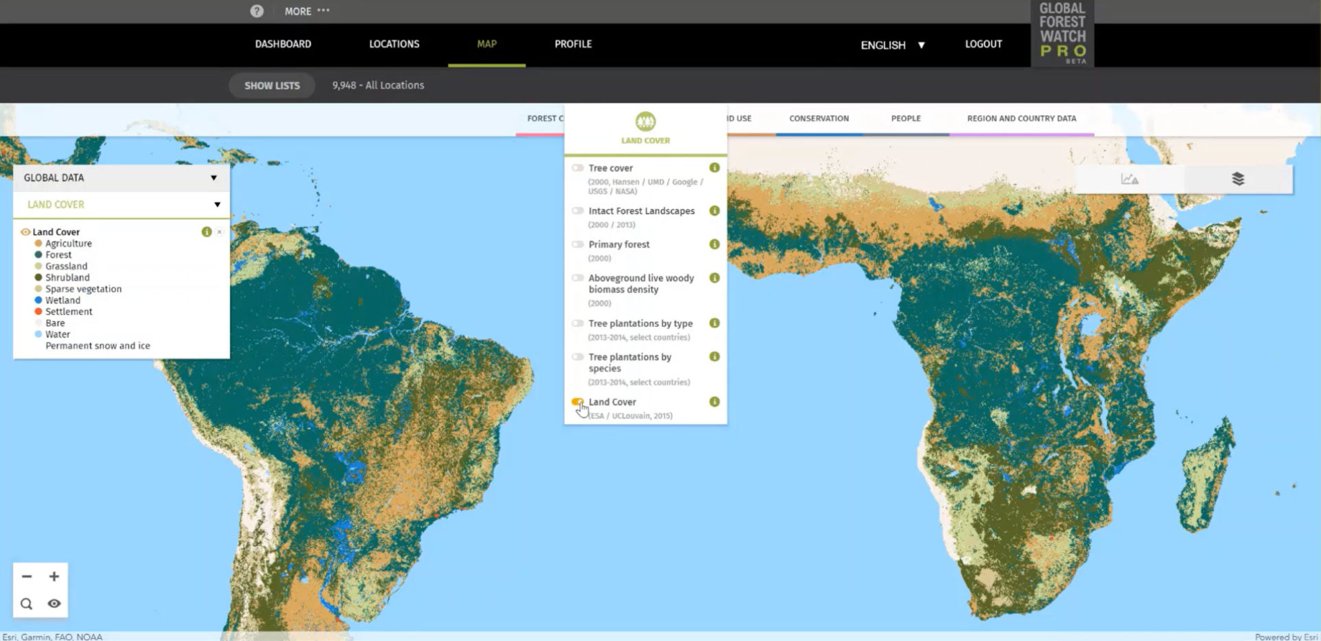
Blue Raster developed Global Forest Watch Pro, a decision support tool that empowers companies to monitor their supply chains for responsible environmental practices. Companies can upload all of their of sourcing areas, farms, and supply sheds for analysis and view interactive maps and diagnostics displaying occurrences of deforestation, alerts for forest fires, land cover types. The site now serves nearly 1,000 users across approximately 350 organizational accounts. Current users are spread across every continent in the world.

GFW Pro map

To support the growing use, Blue Raster recently implemented several updates. The analysis back-end is modernized to make it more scalable and provides more power for processing data faster. The team also moved to a Spark engine and incorporated an AWS Step workflow to allow for higher data processing capacity and improved functionality for the tool.

GFW Pro: Managing Deforestation Risk in Commodity Supply Chains

Blue Raster is proud to announce the launch of Global Forest Watch Pro beta, a decision support tool that empowers companies to monitor their supply chains for deforestation and fires with a focus on preserving the most sensitive landscape types. Companies can upload all of their of sourcing areas, farms, and supply sheds for analysis and view interactive maps and diagnostics displaying occurrences of deforestation, alerts for forest fires, land cover types. Each organization is provided a secure location to manage user access to their areas of interest to ensure that the right people are able to interact with the right data at the right time.

GFW Pro quote

Analyzing Areas of Interest

The public launch builds on the features available during the preview period and dramatically increases the speed of analysis of the user's areas of interest (AOI). Upon upload, the AOIs enter the analysis workflow which leverages AWS Lambda to calculate area-of-intersection with a variety of land-use and land-cover datasets. These intersecting areas are analyzed for tree-cover-loss since 2000, providing a detailed and nuanced view of conditions on the ground. With the latest iteration, Blue Raster leveraged AWS Dynamo DB to improve processing speeds by 700%, allowing GFW Pro to analyze hundreds of thousands of locations per day.

Improved Features

The latest update also provides users with an improved ability to manage locations within their account including:
- Sharing functionality to manage access to AOIs within an organization and send data to users outside the organization in the case of supply chains that include several companies
- Allowing users to re-analyze their AOIs at a click of a button if underlying data re updated
- The ability to upload locations in more geographic projections

Detailed Views

GFW Pro provides an unprecedented ability to view detailed environmental diagnostics of any Area of Interest (AOI) in a supply chain. The Forest Change Diagnostic presents a detailed breakdown of all deforestation since the year 2000 by a variety of global and regional specific land-use and land-cover types, such as WDPA Protected Areas, Peat, and Primary Forest. All data are displayed in intuitive interactive charts and are available for download. As Palm Oil Production is a major driver of deforestation, the Commodity Risk Diagnostic allows users to compare deforestation and fires within mills' supply sheds and empowers them to move palm sourcing away from the riskiest mills.


On the GFW Pro map, users have the option to view their data in the form of immersive, full-screen maps which highlight the geographic extent of surrounding environmental conditions. Additionally, users can sort this data by toggling numerous interactive layers, which are conveniently organized by categories such as forest change, land cover, land use, conservation, and more. It is also possible to monitor the conditions of distinct governmental units (such as states and provinces) or unique user-defined areas (through the polygon-drawing tool).

GFW Pro map

GFW Summit & Beyond

We are extremely proud of our work with Global Forest Watch and we look forward to attending the GFW Summit in this week in Washington, DC. We hope that this program advances supply chain management in the context of a changing natural environment, and that our users are better able to comprehend the human footprint of production across the world’s forests. Please check back soon for ongoing improvements to this application, as well as the release of other new and innovative mapping solutions.


Page 1 of 2