Our Work

Blue Raster helps you tell your story through interactive
mapping technology. Make your message clear, exciting,
and user-friendly for both mobile and web platforms.

Tag: Baltimore

Weaving Together Baltimore’s Culture with GEOLOOM

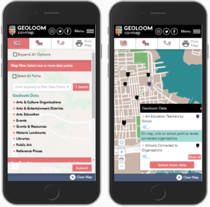
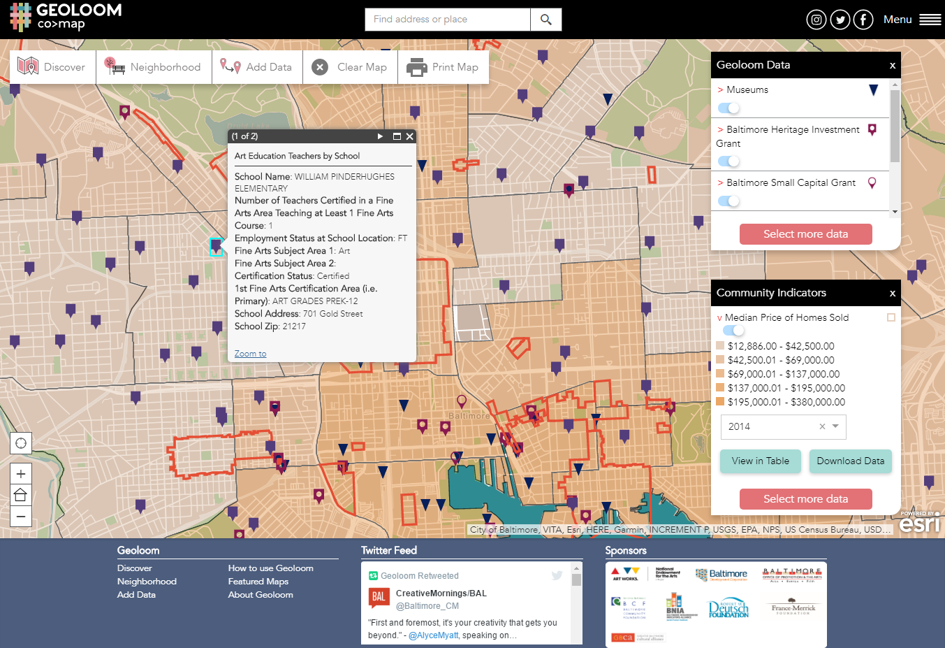
Blue Raster and the Baltimore Neighborhood Indicators Alliance (BNIA) are proud to continue their working partnership with the launch of GEOLOOM co>map, an intricately designed application tasked with weaving together the cultural fabric of Baltimore. The co in GEOLOOM co>map stands for community, collaboration, and cohesion in Baltimore. GEOLOOM provides targeted search ability across multiple sectors by geography and/or keyword and is powered by hundreds of data sets that are aggregated and maintained by BNIA-JFI.

Get started and explore

Welcome

The application maintains dynamic links to the data in ArcGIS Online, and updates based on new data sets or data categories. This flexibility will reduce versioning issues, and decrease application maintenance costs during the planned quarterly data updates.

Discover data within GEOLOOM, by data points or community indicators

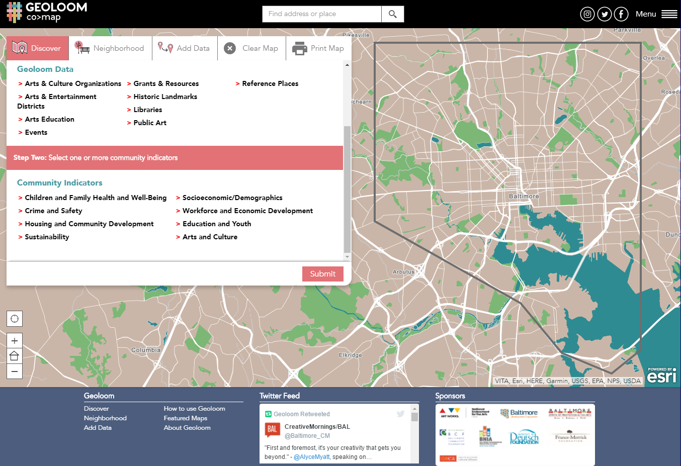
Each data point or community indicator provides valuable insight into where the artistic cultural of Baltimore is already shining through, and where encouragement is needed. Partnerships between BNIA and multiple foundations and organizations has ensured that the best, most relevant data is being provided, and a smooth mobile experience keeps the information accessible to all.

Screenshot of GEOLOOM Median Price of Homes Sold and Locations of various grants

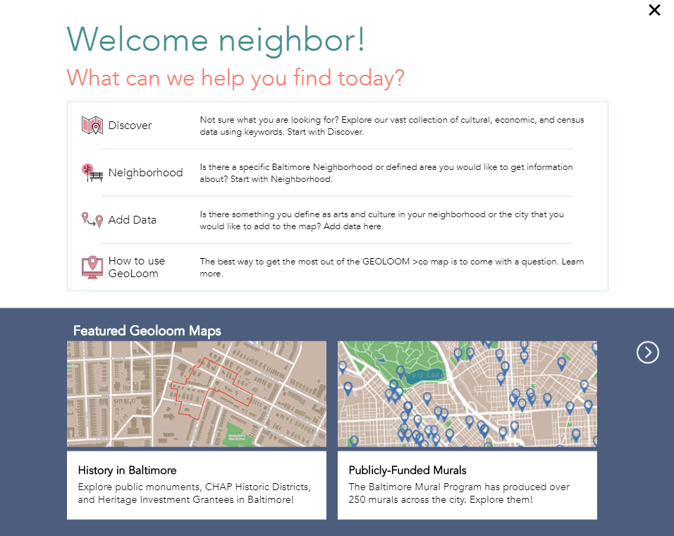
Experience GEOLOOM for yourself, and see all the cultural richness Baltimore has to offer!

Geoloom is fully functional on Mobile Devices as well!


Guerrilla Gardening- Baltimore Crowdsourcing Map

Blue Raster enabled BNIA-JFI (Baltimore Neighborhood Indicators Alliance-Jacob France Institute) to setup and launch their new interactive map for community gardens and open spaces in Baltimore with ArcGIS Online Accelerate. The Interactive Map of Community-Managed Open Space assists city residents in discovering natural spaces they can protect, claim, and effectively use for their community in an urban location. Take a look at this video to see the site in action. The site also allows users to search by address or garden, view gardens by categories and submit pictures.

Interactive Map of Community Managed Open Space

Seema D. Iyer, associate director of the Jacob France Institute at the University of Baltimore’s Merrick School of Business, said that the website will help communities and community-based organizations visualize where greening efforts have been occurring as they work to coordinate resources:

“BNIA-JFI utilized Blue Raster’s ArcGIS Online Accelerate program to help launch an online mapping platform for data that we integrated from five different organizations with overlapping information.  Blue Raster quickly understood our technical needs, met our aggressive timeframe, helped us build our own internal capacity to maintain the site, and provided professional advice on how to augment the site in the future.  We look forward to working with them again.”

ArcGIS Online and Flickr API allowed five different organizations – Baltimore Green Space, Parks and People, Master Gardeners, the Johns Hopkins Center for a Livable Future and Baltimore City’s Power in Dirt project – to aid governmental and non-governmental agencies synchronize “greening activities”. The Interactive Map of Community-Managed Open Space is helping local groups across the city preserve uncluttered space.