Tag: Drupal

New Tools Help Forest Legality Alliance Reduce Illegal Logging

The Forest Legality Alliance, a joint effort of the World Resources Institute and the Environmental Investigation Agency, partnered with Blue Raster and others around the world to release two new web tools to help in their efforts to reduce illegal logging by supporting the supply of legal forest products.

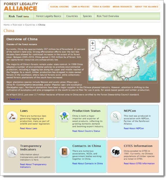
The recent focus on illegal logging has made people wary of buying forest products from countries that are perceived to be high risk.  By providing useful advice and information about the due care process and supply chain facts, The Forest Legality Alliance hopes to  reduce the effort of exercising due care with its new Risk Tool. Using the Risk Tool, users can search for information about the forest products trade and relevant legality information by country or by species.  The goal of the site is to make it easier, cheaper, and less painful to examine forest product supply chains and improve transparency in the marketplace.

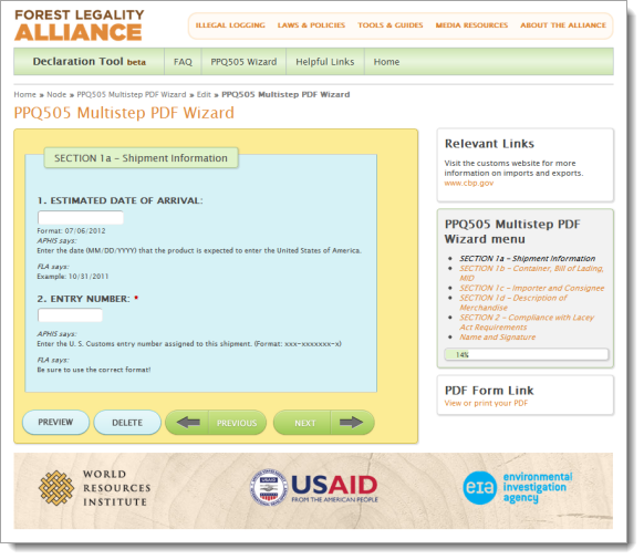
The Declaration Tool is designed to help importers understand the rationale for the Lacey Act Declaration (PPQ Form 505), which is required by the U.S Department of Agriculture for importers of wood products. The tool helps to reduce confusion over the data entry process by providing a wizard interface that steps through the PPQ505 Form, FAQs, and reference materials. The Declaration Tool also helps importers understand the importance of this form and its role in preventing the trade of illegal wildlife and plants.

Forest Legality Alliance Risk Tool

Forest Legality Declaration Tool

Aqueduct Atlas Helps Project Water Risks

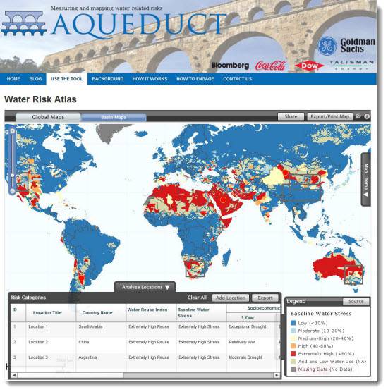
As the world’s rapidly growing population places increasing stress on global water resources, companies and investors are paying closer attention to water use and water risk management.  To help  understand and manage  exposure to geographic water risks, the World Resources Institute (WRI) and its partners are working with Blue Raster to launch the Aqueduct Water Risk Atlas.  Coca-Cola donated maps and data developed to help in understanding and managing exposure to water risks in facilities globally.  Through Aqueduct this information has been made accessible to the public in an interactive, easy-to-use platform, providing a comprehensive and credible metric for measuring geographic water risks.  The Aqueduct Atlas can create high resolution maps of water risks tailored to your unique risk exposure profile.

This interactive application, built using ArcGIS Server, helps companies to quantify and map water risks on a local scale and project future water use and availability.  The current mapviewer includes the Yellow River basin in China.  In the future, the Water Risk Atlas will analyze risk for a wide range of sectors and river basins including the Murray-Darling, Orange-Senqu, and Colorado River basins.

Using the Water Risk Atlas, users can generate detailed, multi-variable maps by adjusting the weight and priority of various factors, including risks related to water scarcity, deteriorating quality, increasing prices, poor water governance, or increasing competition for water resources.  The Atlas can be used to model what-if scenarios, identify risks and opportunities , and share water risk information.  To learn more, visit the water risk mapping platform at http://www.wri.org/our-work/project/aqueduct.

Aqueduct - The Water Risk Atlas


Page 2 of 4