Candid Cameras Show Rare Glimpses of Wildlife
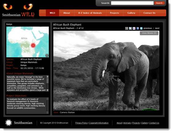
As part of a Smithsonian Web 2.0 grant, Blue Raster has developed Smithsonian Wild, an interactive web mapping application for the Smithsonian National Museum of Natural History using ESRI ArcGIS.com, ArcGIS Server Flex API, and Flickr.
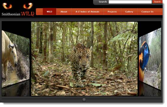
This web site offers the public a unique opportunity to observe over 250 different species in their natural habitats throughout the world. Motion-activated ‘camera traps’ placed in various regions across the globe capture over 201,000 still images and ‘near-video’ sequences of animals as they pass. Robert Costello, a national outreach program manager for the Smithsonian National Museum of Natural History, hopes visitors to the site “feel a sense of anticipation and excitement, like the researchers, as they explore photographs of wildlife taken in the absence of human beings and often at very short distances.”
Smithsonian Wild also offers detailed descriptions of the diverse animals and regions as well as a world map so the user is always aware where the animal being observed is located in China, Kenya, Malaysia, Panama, Peru, Thailand, or the United States. Customized searches allow the user to choose the path of this entertaining and educational experience via species, group, or region. Please visit Smithsonian Wild at http://siwild.si.edu/ today to view these amazing pictures and get your own rare glimpse into the animal world. To learn more details please go to the Natural History Museum’s blog post.

- Posted in
- Environment
- Nonprofit/NGO

