Blue Raster has experience deploying ArcGIS Velocity to integrate near real-time data feeds,
including Computer Aided Dispatch (CAD) and Automatic Vehicle Location (AVL) into
GIS workflows. ArcGIS Velocity provides an avenue to analyze and visualize multiple
data feeds within ArcGIS Online maps and apps

Blue Raster has experience deploying ArcGIS Velocity for State and Local Government customers to integrate near real-time data feeds, including Computer Aided Dispatch (CAD) and Automatic Vehicle Location (AVL) into GIS workflows. ArcGIS Velocity provides an avenue to analyze and visualize multiple data feeds within ArcGIS Online maps and apps.

Use Data from multiple sources to create and configure layers that can be used in live maps and web apps.
With Integration from AVL and other GPS feeds, show precise locations on a map and stay connected to your fleet. Track Assets that are in constant motion without gaps in your data.

Use Velocity configurable analytics to provide insight and an added level of spatial intelligence. With access to a number of big data analytics and real-time tools, Velocity facilitates more informed decision making.

Extend your Organizations ArcGIS Online capabilities and utilize near real-time tracking entirely within the cloud. ArcGIS Velocity uses an SaaS structure to distribute computing and dynamically scale to your needs.

Tap into CAD, AVL, and GPS to manage incident response within a department, or facilitate collaboration across Fire, Police, EMS, and any other first responders.

Record vehicle movement and use archives of trip data to analyze and optimize routing across an entire State or States.

Monitor and track the needs of municipal vehicles with by the second knowledge of your entire fleet.
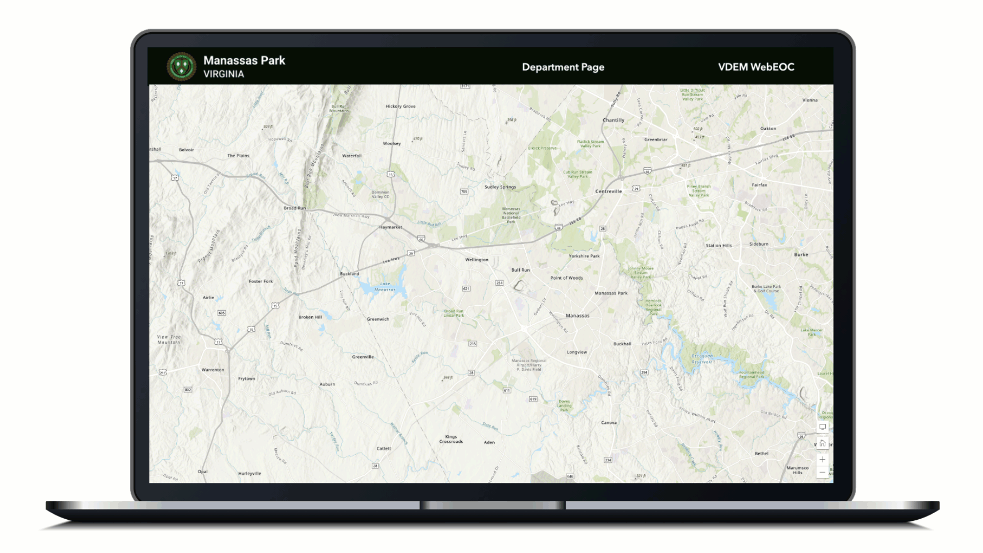
Read the Esri case study about the use of ArcGIS Velocity in Manassas Park:
"In 2019, the City of Manassas Park identified the need to modernize its GIS infrastructure leading to the procurement of Esri’s Small Government suite of ArcGIS Online applications and partnering with the Blue Raster team to help configure and expand the City’s GIS capabilities.
With Blue Raster’s innovation and technical expertise in configuring Esri’s ArcGIS Online and Velocity products, the City has successfully developed a comprehensive array of customized end-user “viewers” and dashboards from its previously siloed system data and Internet of Things (IoT) sensors. Suffice it to say, the results of this project have been a game-changer by enabling staff to access real-time information from differing systems within a single GIS viewer.
Moving forward, the City plans to accelerate its GIS expansion and continue developing exciting new ways to deliver front-end services to residents and staff utilizing ArcGIS Online and Velocity."
- Christopher Himes, Assistant City Manager of Manassas Park, VA
Ask us how we can get your organization up and running with ArcGIS Velocity and other real-time data tools.