Tag: Health

Footprint Map of Medical School Graduates

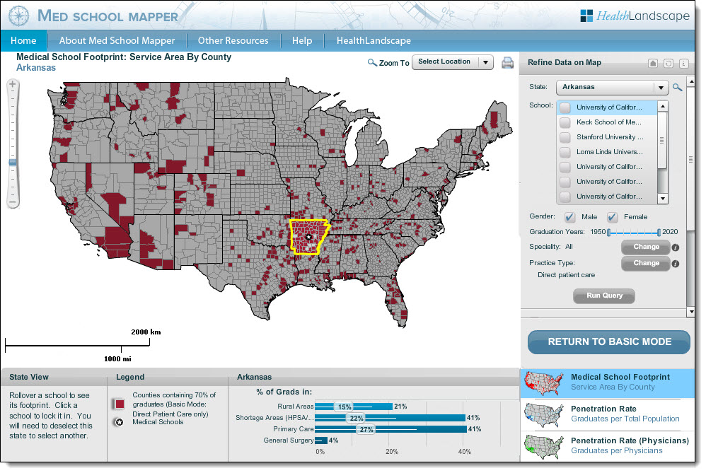
This year we launched an online data explorer tool for health care professionals and policy makers, called the Med School Mapper. The goal of this tool is to map the reach (or footprint) of medical school programs and graduates.

Med School Mapper

The Med School Mapper dramatically reduces the effort and time needed to identify communities that depend on a program’s or state’s graduates the most. It includes a footprint map showing which counties a state’s or school’s graduates are serving and how intensely. The map also shows:

  • if graduates are caring for underserved communities
  • whether graduates are practicing in rural communities
  • which areas of care they are focused on

This information is used by state policymakers to direct expansion funding for medical school programs. The tool was built using ArcGIS Server and Flex APIView the tool today, and see how it is capturing the impact of local and regional medical schools.

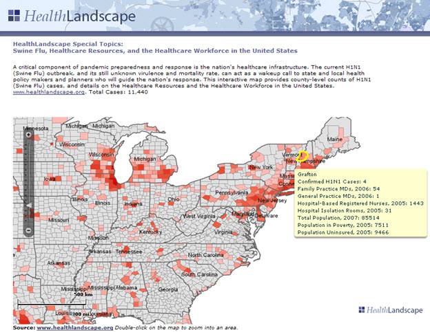
HealthLandscape

Blue Raster has partnered with HealthLandscape to design an interactive web atlas that allows health professionals, policy makers, academic researchers and planners to combine, analyze and display information in ways that promote understanding and improvement of healthcare.  This gives health practitioners the tools they need to create simple, effective displays of their neighborhoods, communities, and regions. HealthLandscape allows organizations to reveal relationships through:

  • Distribution Mapping of point data, such as patient concentrations around clinic locations, polluted water sources, or high poverty areas
  • Service Area Mapping, analyzing population data against known encounter information to define underserved areas
  • Market Penetration Mapping, revealing the proportion of people visiting a specific site from nearby areas calculating penetration rates.

For more information regarding HealthLandscape please visit http://www.healthlandscape.org/.

healthLandscapeSmall


Page 9 of 10