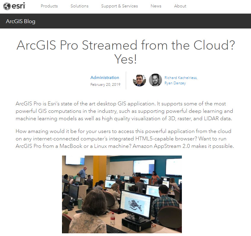
Blue Raster helps clients achieve rapid, cost-effective cloud solutions for server and application hosting. Our team is now taking this concept a step further to completely Virtualize your ArcGIS Environment. As an Amazon Web Service and Microsoft Azure partner, our team strives to understand the latest ways to use GIS systems more efficiently.
Coupled with ArcGIS Pro, an application which handles licensing completely in the cloud, our team has been able to provide full GIS work spaces for several organizations. Our team works with a variety of cloud hosting options including AWS WorkSpaces, AWS AppStream, and Azure Virtual Desktops, each of these options providing a variety of benefits:
- Removes Operating System requirements
- Eliminates the need for high performance hardware
- Offers scalable solutions for organizations with many software users
- Utilizes the ArcGIS Pro Parallel Processing capabilities, allowing multiple CPU, cores, or processes to work on a large job at the same time
- Provides more cost efficient solutions for long running, highly intensive workflows
Blue Raster is working with the Natural Resource Defense Council and the Demographic and Healthy Surveys Program to build all encompassing cloud environments. The pilot cloud environment  hooks into existing systems and caters to the needs of the organization. For example, the addition of Amazon FSx and Attached Storage to easily share files from a local, network, or virtual desktop drive. Our team can also integrate these work spaces with previously existing Active Directory and Single Sign On (SSO) technologies for large-scale, organizational access.
Ben Mayala, the Senior GIS Coordinator at the Demographic and Health Surveys Program, has been using his Amazon Web Service WorkSpace to run complex, statistic and spatial analysis which was not only taking days to complete, but completely using up machine resources while doing so.
" So far the WorkSpace is really good. It's loading the Geospatial Covariates super fast, data extractions are super fast, and I've already gotten through over half my work"
Ready to find out more?
Contact us today to learn about ways we can make the cloud work for you.


