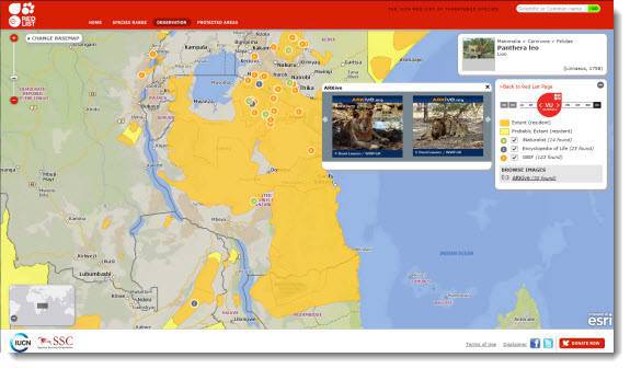
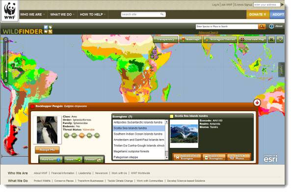
To inform the world about the important connections between threatened species and protected areas, the International Union for Conservation of Nature (IUCN) partnered with Blue Raster to create the IUCN Red List Mapper. This interactive mapping application combines two significant global biodiversity datasets—IUCN’s Red List of Threatened Species and the World Database on Protected Areas. Now conservationists, scientists, policy makers and concerned citizens can instantly see the geographic range of a threatened species overlayed with protected areas.
Developed with ArcGIS Server and JavaScript API, the new IUCN Red List Mapper is seamlessly integrated with the existing Red List of Threatened Species, which provides detailed information on species’ habitat, population, current threats, and related conservation efforts. The new Red List Mapper enables users to generate custom maps that show the known and probable range of each species and nearby protected areas. Using interactive menus, users can view images from content rich ARKive and data for each protected area, including the total area and percentage of the species range encompassed by the protected area. The application is deployed in the Amazon Web Services cloud computing environment including Esri ArcGIS Server on EC2.
The IUCN Red List Mapper also provides access to geolocated species information from open data and citizen science initiatives, including the Global Biodiversity Information Facility, iNaturalist, and the Encyclopedia of Life. Placing these current images and observations of threatened species in a geographic context will help conservationists’ efforts to monitor the status and range of threatened species. The application was launched at the IUCN SSC Chairs’ Meeting 2012 in Abu Dhabi.
- Posted in
- Environment
- Nonprofit/NGO


