ArcGIS for Server

Securing Land Rights for Indigenous Peoples and Communities

LandMark Global Platform of Indigenous and Community Lands

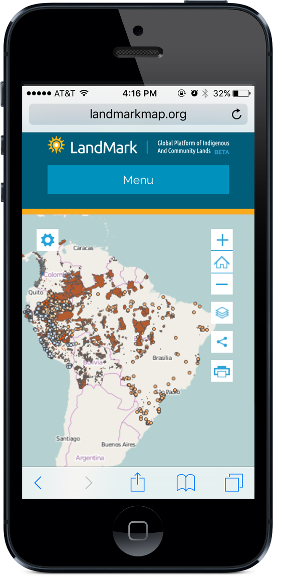
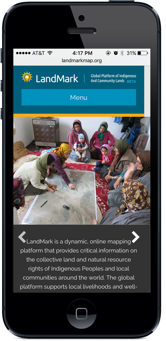
Blue Raster partnered with the World Resources Institute (WRI) and a 13 member Steering Group to create LandMark, the first-ever attempt to build a global repository of community land rights data. Launched on November 10, the LandMark website is the world’s first interactive global platform to map these lands.

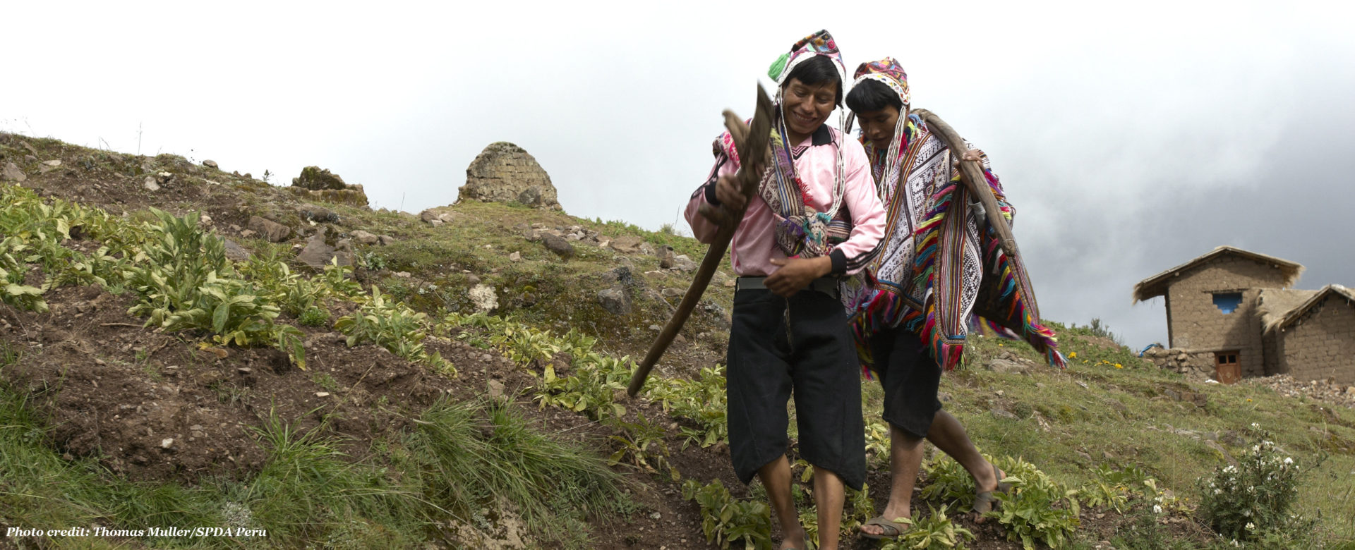
According to WRI, up to 65% of land in the world is held by indigenous peoples and local communities, but only 10% is legally recognized as belonging to them. LandMark aims to help these communities publicly document their land boundaries, particularly in countries where there are no systems currently in place to do so.

LandMark

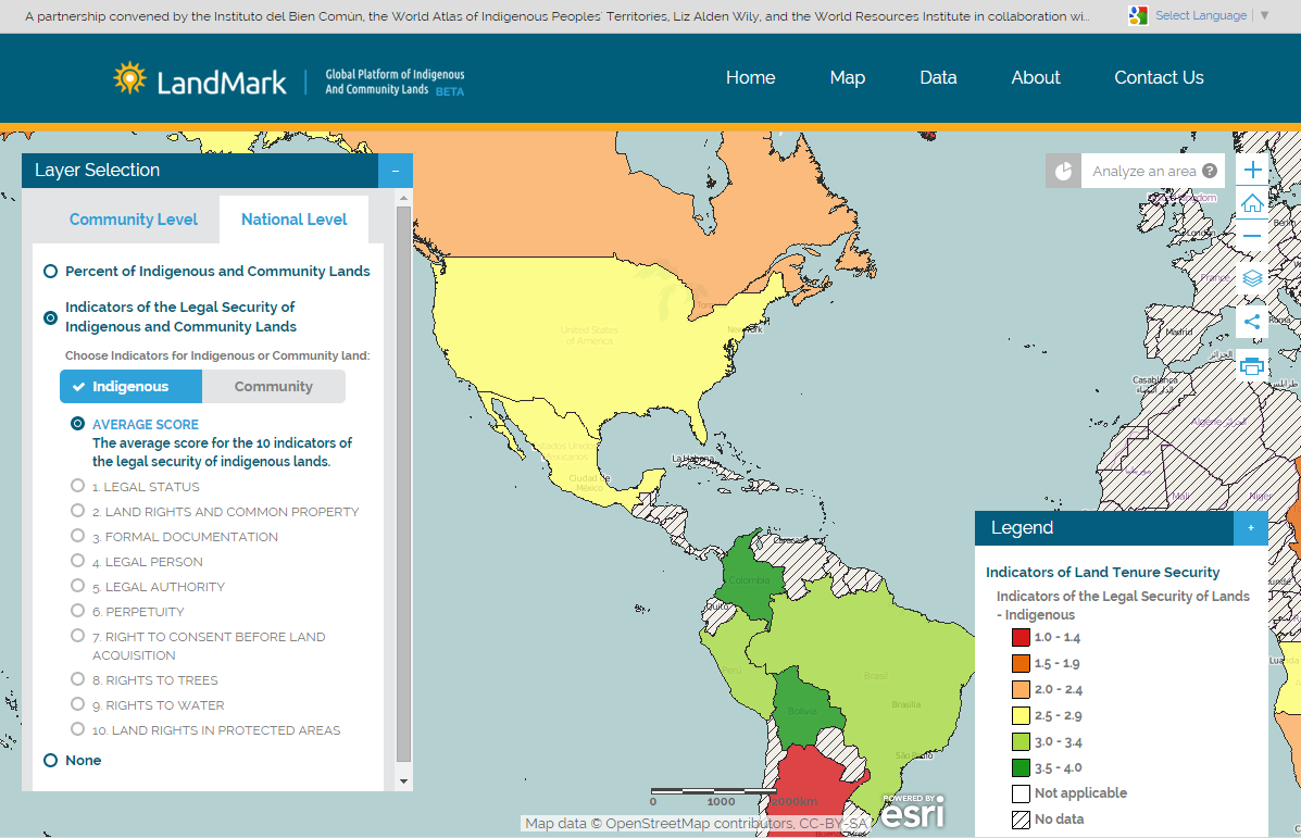
Blue Raster created the site using WordPress, ArcGIS Desktop, ArcGIS for Server, and the JavaScript API.

“Blue Raster has been a great asset to the World Resources Institute and our partner institutions in designing and developing the LandMark mapping platform. Especially valuable was their proficiency in creating a flexible product with a big-picture view towards future growth and development, as LandMark is a project that is constantly evolving,” said Katie Reytar, Senior Research Associate at WRI.

The site allows users to explore maps at both the community and national level, with the goal of helping key audiences including:

LandmarkOn-iPhone-v2LandmarkOn-iPhoneCompanies who are interested in identifying areas for potential investments and want to reduce company risk and costs associated with acquiring contested land.

Community members and groups supporting them who are looking for a platform to proactively document their land publicly.

Governments, to better recognize community land rights and encourage fellow public officials to take action based on examples of other nations.

General public, to gain a better awareness of the extent of land rights issues worldwide.

To learn more about the project and see the platform in action, check out WRI’s project page.

Fires in Indonesia Park seen with GFW Fires App

The World Resources Institute’s (WRI) Global Forest Watch Fires is currently being used to respond to a massive outbreak of fires in Tesso Nilo National Park, Indonesia. The fires in the protected area began May 29, 2015 and have continued to burn since.

In response, Blue Raster created the maps below using ArcGIS Online and a custom application to analyze the region where fires are burning. Using 50 centimeter resolution imagery along with NASA MODIS fire data, the maps capture the illegal activity occurring within the boundaries of this protected land. GFW Fires continues to be used as a response tool in Tesso Nilo and other parts of the world.

Check out the maps, and visit GFW Fires to see the latest on this outbreak.

Fires in Tesso Nilo National Park

Footprint Map of Medical School Graduates

This year we launched an online data explorer tool for health care professionals and policy makers, called the Med School Mapper. The goal of this tool is to map the reach (or footprint) of medical school programs and graduates.

Med School Mapper

The Med School Mapper dramatically reduces the effort and time needed to identify communities that depend on a program’s or state’s graduates the most. It includes a footprint map showing which counties a state’s or school’s graduates are serving and how intensely. The map also shows:

  • if graduates are caring for underserved communities
  • whether graduates are practicing in rural communities
  • which areas of care they are focused on

This information is used by state policymakers to direct expansion funding for medical school programs. The tool was built using ArcGIS Server and Flex APIView the tool today, and see how it is capturing the impact of local and regional medical schools.

Measure DHS

The U.S. Agency for International Development (USAID) has selected the ICF Macro team, including Blue Raster as a substantial subcontractor, to implement the MEASURE Phase III Demographic and Health Surveys (DHS) contract. Blue Raster will update the website and STATcompiler, using ArcGIS Server 9.3.1 and Flex API, to allow widespread access to this data, which will dramatically improve usability and information accessibility.  The mapping application allows users to customize data sets for factors of region, years and household indicator, and then to view the results graphically. This $142 million, five-year contract will serve as the Bureau for Global Health’s primary demographic and health data collection effort. For more information on Measure DHS please visit http://www.measuredhs.com.

dhs_map


Page 6 of 6