Our Work

Blue Raster helps you tell your story through interactive
mapping technology. Make your message clear, exciting,
and user-friendly for both mobile and web platforms.

Cemetery

APGA Puts on a Texas-Sized Show in Fort Worth

Last week was the American Public Garden Associations' (APGA) Annual Conference in Forth Worth, Texas. Over 1,000 people in the community attended to learn from each other's success stories and best practices around garden management, public engagement, horticulture, plant curation, conservation, and education.

Christopher Gabris, Blue Raster’s Public Gardens Practice Lead, traveled to network with existing partners and share with other conference attendees how Blue Raster is using Esri’s ArcGIS platform to modernize public garden GIS and mapping workflows.

Conference highlights included a Southern Garden Charm dinner party and drone light show at the Dallas Arboretum, and celebrating the Modern West at the Fort Worth Botanic Garden.

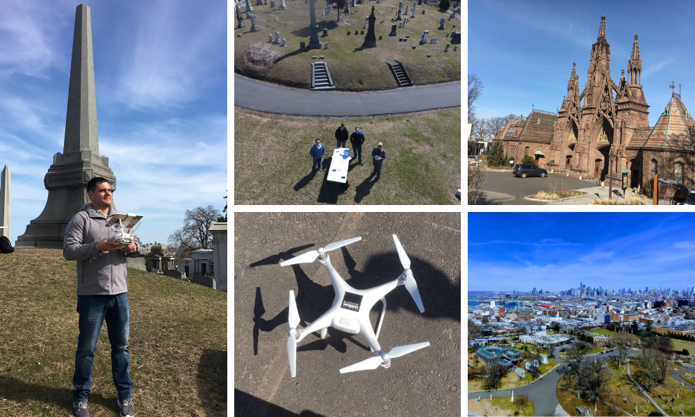
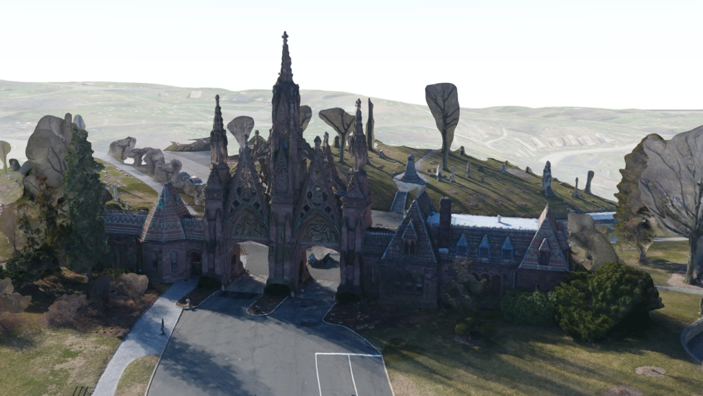
Blue Raster currently works with over a dozen public garden, arboreta, and cemetery clients. Our team designs and develops workflows for creating and updating plant collections from out in the field, syncing botanical data with popular repositories, building interactive web and mobile mapping applications for the public, and training public garden staff on maximizing the use of GIS software.

We look forward to continued engagement with the American Public Garden Association community throughout the year and presenting our work at the 2024 conference in Boston!

See how Blue Raster can help modernize your public garden and cemetery workflows today!

GIS-based Mapping in America’s First Garden Cemetery

In the United States, garden cemeteries as we know them today emerged out of the growing need to separate burial grounds from city life. Located in Cambridge, Massachusetts (approx. 4 miles from Boston), and founded in 1831, Mount Auburn Cemetery became the first of these “rural cemeteries”.  It serves as both a burial ground and a horticultural display garden spanning 175-acres, making it the nation’s first garden cemetery.

Mount Auburn Garden Cemetery

Improving Garden Cemetery Workflows

Like many other public gardens that host large amounts of plant collections, Mount Auburn relies on a sophisticated botanical garden database application called BG-BASE. When it comes to GIS-based mapping, plant information stored in BG-BASE cannot be easily fed into web-based maps.

Blue Raster collaborated with Mount Auburn, The Alliance for Public Gardens GIS (APGG), and BG-BASE to develop an automated link from BG-BASE to Esri software. This process involved moving plant record data to a SQL Server Enterprise Geodatabase loaded with the Alliance for Public Gardens GIS data-model. Existing plant records, attribute or location updates, and new additions can be pushed from BG-BASE to Esri database. As a result, plant information displays in GIS-based mapping applications and is accessible for internal horticulture and facility management teams.

This brings Mount Auburn Cemetery to the forefront of the public garden community with its continued moderization of horticulture management via GIS.

Flora Mount Auburn Application

In addition to automating internal workflows, Blue Raster developed Mount Auburn’s first interactive web mapping application, Flora Mount Auburn. The app showcases plant collections, staff-curated tours, and amenities across the cemetery. Showcased on a custom-made basemap, users can virtually navigate the grounds while exploring and interacting with the surrounding flora.

We leveraged ArcGIS Enterprise, ArcGIS Portal and the ArcGIS JavaScript API.

The Explore feature allows you to take thematic tours that expose the user to a variety of plants and landscapes across the 175 acres. Tour themes cover topics like environmental stewardship and sustainability, African American heritage, and famous botanists and horticulturalists at Mount Auburn. In the app, the tour walking distance, time, and total points of interest are displayed before starting. When the tour begins, the app navigates along the delineated tour path of the curated tour.

In addition to tours, the map offers visitors a 360-degree experience to view plants or monuments. Using Cemetery360 technology, Flora Mount Auburn allows users to drop a pin and immerse themselves in the area of interest, outdoors and indoors!

Mount Auburn Flora Garden Cemetery
Mount Auburn Flora image

The Search Plants feature allows you to look-up plants in the garden cemetery and see where they are located across the grounds. Plants can be searched by their Common, Scientific or Family Name, Habit, Garden Location, or unique Accession and Qualifier. A plant Search List is generated as you look for plants, which can be exported to a table with details of every plant that exists in the searched plant collection.

Whether you’re a botanist or a novice plant enthusiast, the app makes it easy to search, locate, and learn more about your plants of interest.

Blue Raster's Garden Experience

Blue Raster is experienced with plant data and workflows in gardens and cemeteries. We leverage Esri Field GIS applications for plant and monument maintenance workflows, drones for high resolution imagery, mobile applications for visitors, and continually stay up to date with the American Public Gardens Association.

Blue Raster continues to serve public gardens in their mission to be inclusive for all and indispensable to the community. Learn more about how gardens are modernizing their operations by combining their horticulture management with GIS: https://www.blueraster.com/gardens/

Ready to find out more?

Get in touch with us today!

Green-Wood Mobile App: Celebrating Life in one of America’s Historic Cemeteries

Since its founding in 1838, Green-Wood Cemetery is home to over 560,000 decedents. One of America’s first rural cemeteries, the 478 acre cemetery is also a National Historical Landmark, a Level III accredited Arboretum, and an attraction to over 500,000 visitors each year. While death is all around at Green-Wood, so too is the celebration of life. Green-Wood is a new mobile application that lets visitors explore the natural heritage, trees and wildlife on the grounds.

Green-Wood mobile app

Blue Raster developed the Green-Wood mobile app using React Native. This allowed for rapid development of both iOS and Android platforms. We created the map portion of the app by using Esri's ArcGIS API for JavaScript. This fun-to-use and informative application allows users to view profiles of landmark monuments and structures, learn about the diverse plant and animal species that live on the grounds, and discover stories of the famous and infamous people buried there.

Green-Wood: Celebrating Life at Green-Wood Cemetery

Additionally, the map allows users position themselves on the grounds and find an area of interest. Filter the map points by popular categories and link out to the expanded profiles.

Green-Wood Mobile App: Celebrating Life

Blue Raster has also been working with Green-Wood on internal workflows for management of plant maintenance and monument restoration by using Esri's Collector and Workforce for ArcGIS. Additionally, we are using drones to study the impact of invasive plant species in an urban environment. Now the Green-Wood app is a chance for the public to see all the aspects of Green-Wood that make it such a special place.

Public Gardens on Display in Washington, DC

Last month, over 1,000 public horticulture enthusiasts attended the American Public Gardens Association annual conference in Washington, DC. Blue Raster was proud to be a conference sponsor and presenter at the GIS for Public Gardens: Enterprise Configurations workshop. Christopher Gabris, Blue Raster's Project Manager for Public Gardens, was pleased to show our recent work in the community including:

The conference included a walking tour of the Smithsonian and U.S. Botanical Gardens on the National Mall. Also, it featured an evening at U.S. National Arboretum with a Tour and Reception.

Blue Raster is continuing to serve public gardens in their mission to be inclusive for all and indispensable to the community. You can learn more about our capabilities and ongoing projects at https://www.blueraster.com/gardens/.

Ready to find out more?

Contact us today to get started on your next project!

Using Drones to Advance Turfgrass Science at Green-Wood Cemetery

Last month, Blue Raster’s drone capabilities took flight. In a new initiative with Green-Wood Cemetery, Cornell University, and a group of turfgrass experts from across the United States, Blue Raster is using drones to help advance the science for confronting climate change in an urban landscape.

The issue at hand is the rapid spread of warm-season invasive grass species that impacts the aesthetics of the cemetery. This results in adaptive preventative maintenance practices and high costs to keep the cemetery looking beautiful. The group is studying alternatives and strategies that put Green-Wood on the cutting edge of urban climate change mitigation. This research is also applicable to any urban parks, public gardens, cemeteries and golf courses.

"Turf Guy" Dr. Frank Rossi of the School of Integrative Plant Science at Cornell University and Christopher Gabris from Blue Raster looking at high resolution drone imagery captured the day before

“Turf Guy” Dr. Frank Rossi of the School of Integrative Plant Science at Cornell University and Christopher Gabris from Blue Raster looking at high resolution drone imagery captured the day before

To study the spread of invasive grass throughout the year, Blue Raster flew a series of drone missions over the sprawling 478 acre cemetery. When additional missions fly for comparison, the data capture will provide high quality imagery that will identify invasive grass for measurement and monitoring throughout the year. Visit our Facebook album for more of the amazing aerial pictures.

Green-wood drone pictures

Using Esri’s Drone2Map and ArcGIS Online Web Scenes, Blue Raster was also able to deliver some 3D products, including the iconic gateway entrance and some large mausoleums.

Drone 3D imagery of iconic entrance

Stay tuned for updates on the project, the analysis, and the results of this very exciting turfgrass study!


Page 1 of 2