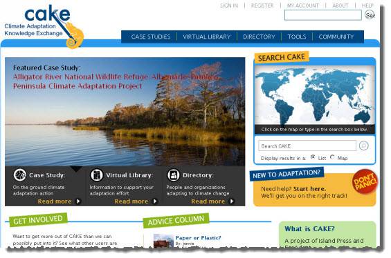
Partnering with EcoAdapt and Island Press, Blue Raster has developed a revolutionary online platform using ArcGIS Online and Drupal (open source CMS) with custom modules, which will be used for cross-sector and cross disciplinary information sharing on climate adaptation strategies. Since climate adaptation is an emerging field, no source exists as a single clearinghouse of information, and the Climate Change Adaptation Knowledge Exchange (CAKE) aspires to be this vital resource for scientists, NGOs and policy-makers encouraging the adoption and evolution of policy, science and management approaches to climate change adaptation. In addition to being a vital source of information, CAKE features a forum for managers, scientists, advocates, and educators to connect with one another and share knowledge and strategies. For more information regarding Climate Adaptation Knowledge Environment please visit http://cakex.org.
- Posted in
- Environment
- Nonprofit/NGO

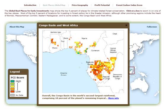
 Blue Raster has created a new application for the Forest Carbon Index (FCI) which compiles and displays trends relating to biological, economic, governance, investment, and market readiness conditions for every forest and country in the world, and helps provide a reference for the best places and countries to make investments in forest conservation. Designed by Blue Raster for
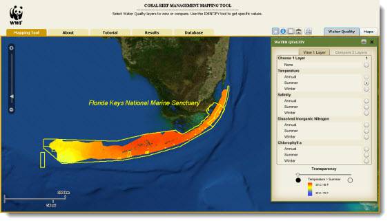
 Blue Raster has contributed an ArcGIS Server Flex API application for the World Wildlife Fund to support the Climate Change LEADS: Linking Environmental Analysis to Decision Support project. The tool allows users to explore water quality patterns throughout the Florida Keys National Marine Sanctuary. These results are based on quantitative landscape ecology and GIS techniques using existing and emerging data to perform an analysis of the spatial and temporal relationships between environmental factors and coral bleaching response to suggest patterns of resilience within the Florida Keys National Marine Sanctuary. This is very specific to the Keys, but the scientific concepts if applied world-wide would provide one of the few “global” (near-shore environments) data sets and analytical capabilities.