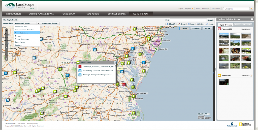
LandScope America is an online resource for the land-protection community and the public. Developed in collaboration by NatureServe, the National Geographic Society, and numerous partner organizations, LandScope America is designed to increase the pace and effectiveness of conservation action and investment throughout the United States. Blue Raster has contributed a unique mapping system to Landscope designed using ArcGIS server 9.3.1, Flex API, and Bing maps to enable decision makers, policy directors, and landowners to set and redefine their own conservation priorities. The aerial and satellite images allow conservationists at all levels to interact and relate with the American landscape. The ultimate goal of Landscope is not to create a new set of conservation priorities but to highlight and reveal important aspects of existing plans and priorities. For more information regarding LandScope please visit http://www.landscope.org/.
- Posted in
- Environment
- Nonprofit/NGO


