GIS

Esri ArcGIS Cloud Specialty: Elevating our clients’ GIS capabilities to the sky

Blue Raster is thrilled to be a member of the Esri ArcGIS Cloud Services Specialty. This specialty designates Blue Raster as an expert in deploying and managing ArcGIS in cloud environments such as Amazon Web Services (AWS) and Microsoft Azure. The Cloud Specialty program is designed to help Esri connect customers with recognized Partners that can best provide ArcGIS cloud solutions. Partners that meet the criteria for this specialty must demonstrate a track record of delivering value to their customers in implementing, managing, and designing cloud infrastructure in the Esri ArcGIS environment.  
Esri Cloud Services Specialty

To attain this specialty, Esri assessed Blue Raster’s expertise in the following areas of ArcGIS Cloud services: cloud deployments, system architecture and design, migrations, and managed services. Our deployments of ArcGIS Enterprise in the cloud include routine monitoring and maintenance to allow us to fine tune the system as needed, ensuring reliability and performance. Our system architecture and design experience encompasses single machine and multi machine architectures in both AWS and Azure that are customized to our clients’ specifications. We support all types of migrations including on-premises to cloud provider migrations, ArcGIS Online to ArcGIS Enterprise, and integration with third party providers.

Our portfolio of managed services includes the utilization of a wealth of Esri products and tools in the ArcGIS family such as ArcGIS Enterprise, Data Store, GIS Server, GeoAnalytics Server, GeoEvent Server, Notebooks, Image Server, Pro, Monitor, and Enterprise Geodatabases. Implementing these tools empowers us to provide a number of managed cloud services to our clients including design consultation, server construction, Esri software installation, infrastructure troubleshooting, distributed systems configuration, geographic redundancy configuration, OS patching, Esri security patching, routine Esri patch deployment, DevOps services, and user training services, among others. Blue Raster is primed and ready to meet our clients’ needs in all areas of the Esri ArcGIS cloud.

ArcGIS Cloud Solutions by Blue Raster

With over 10 years of experience providing ArcGIS Cloud consulting services, Blue Raster is proud to be a trusted resource for a variety of cloud solutions, including: 

    • Cloud ArcGIS Enterprise implementation 
    • Data migration 
    • System architecture and design 
    • Enterprise migration 
    • Security 

We use our cloud expertise to assist a variety of clients with a range of projects. Our dedicated DevOps team supports our cloud projects from requirements gathering through completion. Keep checking our blog posts for our latest projects as we continually grow and evolve our cloud-based service offerings.  

Are you looking to expand your ArcGIS capabilities in the cloud?
Contact us today to learn more about how we can help!

Esri UC 2022 Preview

Back in San Diego at the Esri UC!

Blue Raster is looking forward to getting back to San Diego to exhibit at the Esri User Conference taking place July 11-15. The User Conference (UC) is the biggest event in GIS and represents the nexus of innovation in mapping solutions. The UC promises the opportunity to hear inspiring stories on how GIS is making an impact, gain insight from industry experts, and speak with others who are making a difference in the field.

UC header

This year’s event will kick off with a Plenary session hosted by Jack Dangermond, Founder and CEO of Esri. In addition, we will hear from a range of inspiring leaders, including Deanne Criswell from FEMA and Ronan Donovan from National Geographic.

Connect With Us at Esri UC 2022

As the use and capabilities of Esri-powered GIS products are ever advancing, the user conference is our opportunity to stay on top of new innovations and developments in order to best help our clients address their geospatial needs. This year, Blue Raster is bringing seven of our team members to the Golden State to share our work and get a peek at everything new in the world of GIS.

The Expo at Esri UC

UC booth

The expo portion of the conference will offer the opportunity to preview the latest tech in geospatial analysis and get a look at the new and interesting success of other users across the field. Visit Blue Raster booth 2410 to learn more about our work with the latest ArcGIS patterns, trends, and solutions including ArcGIS Real Time, ArcGIS GeoEvent Server, ArcGIS Velocity, ArcGIS Hub, Experience Builder, Field Maps, Survey 123, ArcGIS Enterprise Cloud deployments, and more. Contact us now to schedule a meeting with us or stop by our booth near the Sustainable World Showcase!

Expo Hours:

  • Tuesday, July 12 from 9:00am – 6:00pm
  • Wednesday, July 13 from 9:00am – 6:00pm
  • Thursday, July 14 from 9:00am – 4:00pm
Esri UC 2022

Sustainable World Spotlight

The Sustainable World Showcase in the 2022 Esri UC Expo is a hub for GIS users working to make strides to support the planet, people, prosperity, and peace. GIS applications under the Sustainable World umbrella include climate change, conservation, disaster response, education, global development, humanitarian, nonprofit, racial equity, and social justice. To help you find your way to our booth and all of the GIS for Good sessions and events, check out the Esri Sustainable World focused agenda.

  • Blue Raster will be presenting a lightning talk at the Nonprofit Community Takeover at the Sustainable World Showcase Spotlight Theater on Tuesday between 9am – 12pm.
  • We’ll also be sponsoring the Sustainable World Community Social on Tuesday night between 6pm – 8pm at the Hilton Bayfront's Sapphire Terrace. We can’t wait to see you there!
Will you be at Esri UC?

Let us know if you plan on attending any of the Sustainable World or other industry events!

Map Gallery

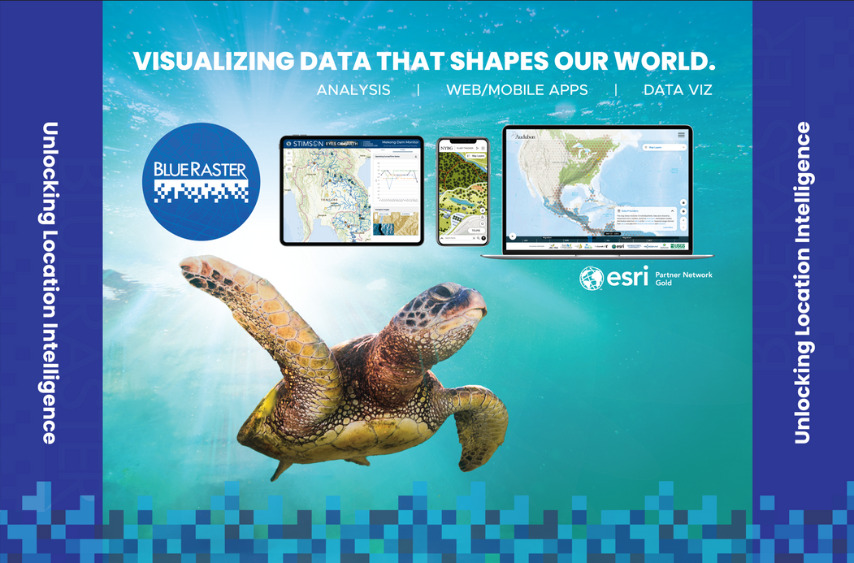
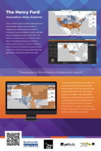
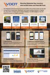
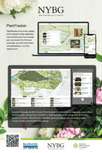
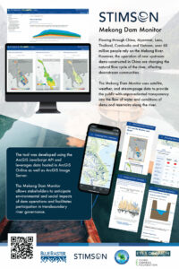
Blue Raster is proud to display four posters designed by our team members in the Map Gallery. We're highlighting our work with The Henry Ford, Virginia Department of Transportation, New York Botanical Gardens, and The Stimson Center. Look for our entries in the Sails Pavilion and vote on your favorite!

Map Gallery Hours:

  • Monday, July 11 from 4:00pm – 6:00pm
  • Tuesday, July 12 from 8:00am – 6:00pm
  • Wednesday, July 13 from 8:00am – 6:00pm
  • Thursday, July 14 from 8:00am – 1:30pm

Want to meet up with us?

Schedule a time now to visit us at our booth!

New Era for Plant Mapping at New York Botanical Garden with PlantTracker

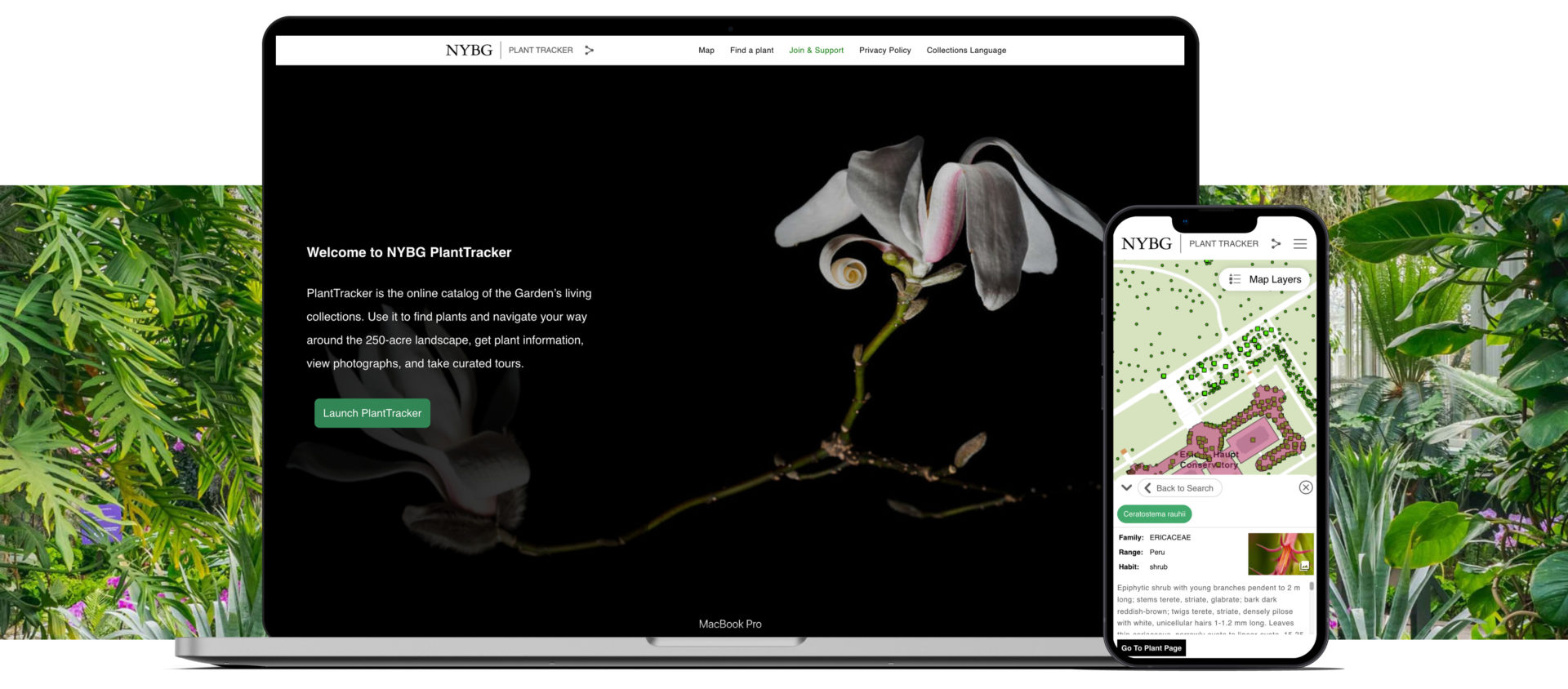
New York Botanical Gardens Plant Tracker App displayed in a laptop and iPhone.

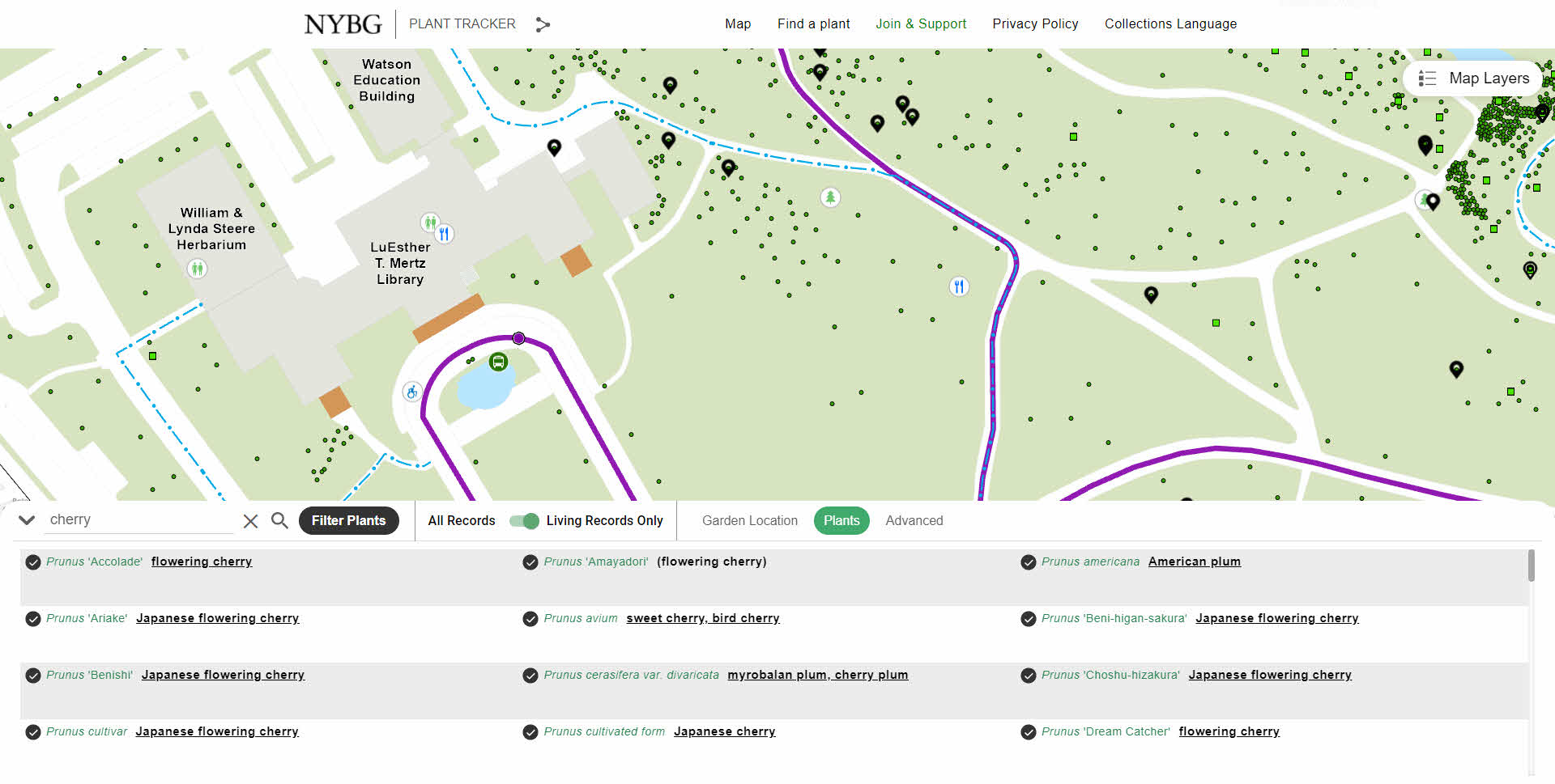
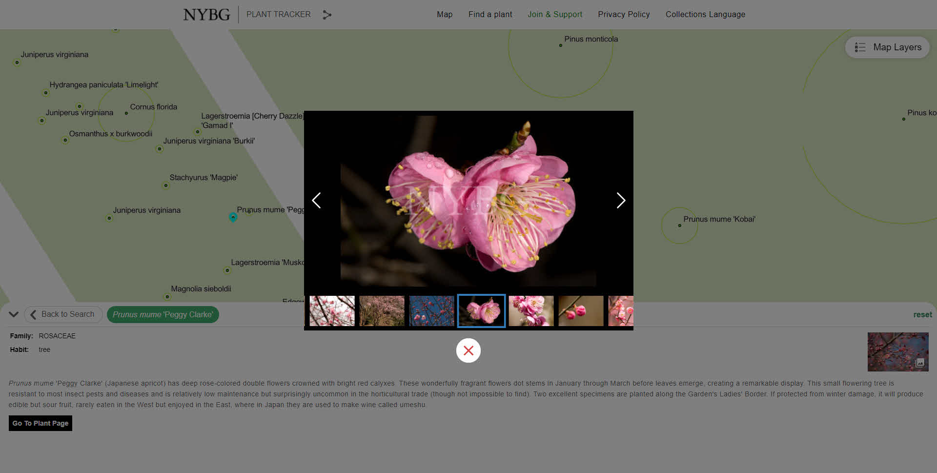
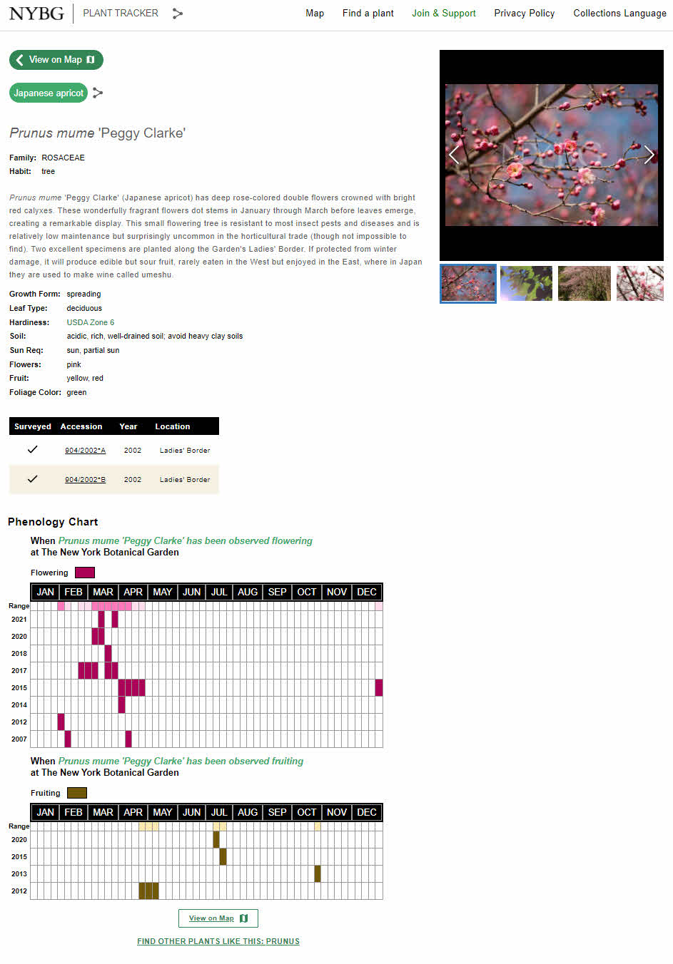
Established in 1891 and covering 250 acres in the Bronx, New York Botanical Garden is the largest urban public garden in the United States. With the beauty of the collections, landscapes, and gardens it's no wonder why over one million people visit the garden annually. Looking to upgrade their public mapping presence and expand internal use of GIS, NYBG and Blue Raster partnered to develop PlantTracker. Replacing a previous tool, PlantTracker is the online catalog of NYBG's living collections used to find plants, navigate the grounds, get plant information, view photographs, and take curated tours. 

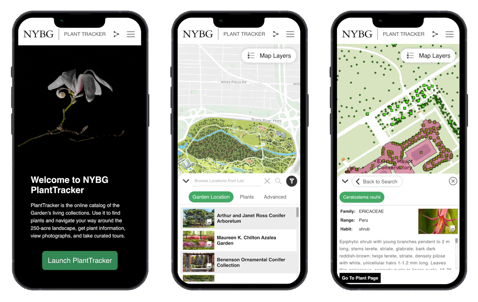
NYBG Plant Tracker App displayed on an iPhone

PlantTracker aides the public onsite and from home and also daily workflows of NYBG staff and the institutions educational programs rely on the tool. Funded through an IMLS Grant, PlantTracker replaces the legacy Garden Navigator application and provides an enhanced user experience with a map-centric and mobile-first design.

Blue Raster first deigned a GIS architecture environment and installed and configured ArcGIS Enterprise. Next, Blue Raster had to create many spatial datasets for use in GIS by converting existing CAD files and tables. This included working with exports of plants managed through BG-Base, totaling over 143,000 living and historical records. The GIS Team at Blue Raster improved the spatial accuracy of almost 700 location codes used for mapping and outlining the main garden locations. Plant photo workflows were also upgraded by integrating with the Asset Bank API.

In addition to PlantTracker, GIS upgrades allowed the opportunity to integrate Esri mobile workflows for staff. Configuration with ArcGIS Field Maps and Workforce for ArcGIS expands plant mapping workflows, allowing workers to update existing location, condition and measurement data in the field. Blue Raster works closely with BG-Base to sync both systems through a series of Python scripts that run nightly and as often as every five minutes. This means NYBG can continue to use BG-Base as the system-of-record for their collections, but take full advantage of GIS for mapping applications and field workflows.

NYBG has embraced GIS in a big way. In short time, a lot has been done to improve public and staff workflows around mapping. Explore NYBG PlantTracker to see for yourself!

NYBG Tour
NYBG Gallery
NYBG Details
planttracker

Learn more about Blue Raster's work with public gardens, cemeteries, and arboretums here.

Contact us today!

Driving Forward with VDOT’s Integrated Directional Signing Program

While driving on the highway you likely find yourself looking at signs lining the road to determine your next meal, gas stop, or a place to stay. You probably do not consider that there is a directional signing program that manages the accuracy of these signs, but you trust the information and services they provide. 

In Virginia, Blue Raster partnered with Directional Signing Program (DSP) to put in place Esri workflows that help ensure you can trust these signs. Using ArcGIS Online, Field Maps, Survey123, Workforce, and Dashboards, the signing program at VDOT has never been more interactive and in real-time. The Integrated Directional Signing Program (IDSP) includes over 16,000 signs across the State and is comprised of:

  • Logo Guide Signs - Blue highway signs with gas, food and lodging company logos
  • Tourist-Oriented Directional Signs - Blue highways signs with directional information, no company logos
  • Supplemental Guide Signs - Cultural, recreational, education and historic guide signs
  • General Motorist Service Signs - Generic symbols representing Gas, Food, Lodging, Hospitals and Camping
  • Historic Markers - Signs depicting historic information about places, people or events

directional sign

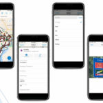
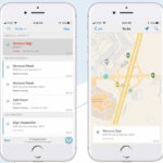
Blue Raster's workflows for field GIS allow DSP and other VDOT contractors to inventory and update the status of every sign in the IDSP. The initial inventory of all 16,000 signs was completed in just 5 weeks with the help of Field Maps and offline capabilities. Since then, routine inspections for condition and retroreflectivity, construction inspections, or maintenance work orders for signs has been managed in GIS with Esri's field applications. Data from the field crews feed a series of dashboards configured to show key metrics and status to VDOT in real-time.

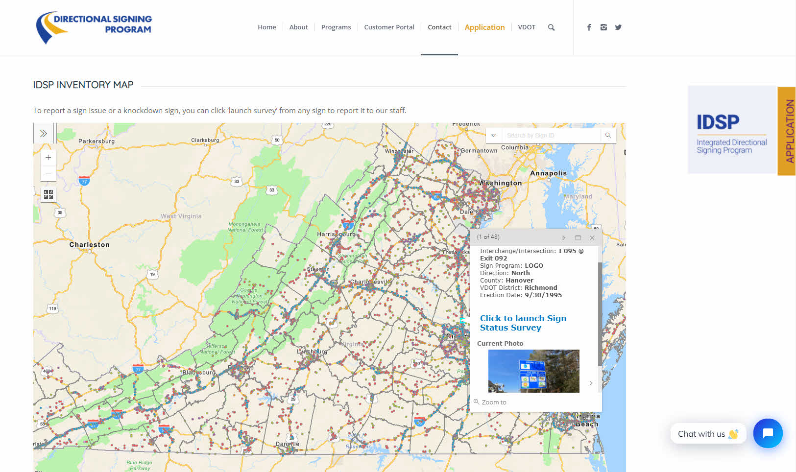
Beyond just VDOT, the IDSP is made up of the customers on the signs and the public. Through hosted web maps and Survey123 forms, there is now the ability for both customers and the public to view an interactive map of all the signs in the IDSP (with current image), provide general feedback on the program, and report sign issues or knockdowns.

directional signing program

Integrating ArcGIS into the IDSP allows for significant improvements to data collection, understanding of assets, efficiency, reporting and tracking goals. Continued work with DSP and VDOT includes developing StoryMaps around the Historic Marker Program, leveraging Business Analyst to attract new customers and understand interchange saturation and vacancies, and better use of imagery including 360 degree capture. All of this work makes the IDSP better, and provides a better experience to drivers in Virginia.

Promoting Sustainable Forestry Practices with High Resolution Imagery

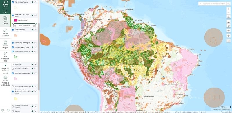
Blue Raster is proud to have developed and supported an audit area tool for the Forest Stewardship Council (FSC). This solution pulls data so that auditors can examine historic and current tree cover before going on site to complete their inspections. Now it’s available with high resolution imagery!

Blue Raster recently integrated high resolution satellite imagery from Planet and Sentinel into the audit area tool. This new imagery, made available by Norway’s International Climate & Forests Initiative, provides 3-meter resolution as compared to the pre-existing 10-meter resolution type used in the tool. This new level of detail in images provides an even clearer picture of forestry practices and realities.

FSC Sustainable Forestry Practices imagery

In addition to the new imagery, the team also updated and reorganized the layer panel to make the maps more user friendly. New tools that measure elevation changes were also added.


Learn more about this project here.


Page 5 of 12