Tag: Esri Conference

2019 Esri Mid-Atlantic User Group Conference: Five Major Takeaways from our GIS Team

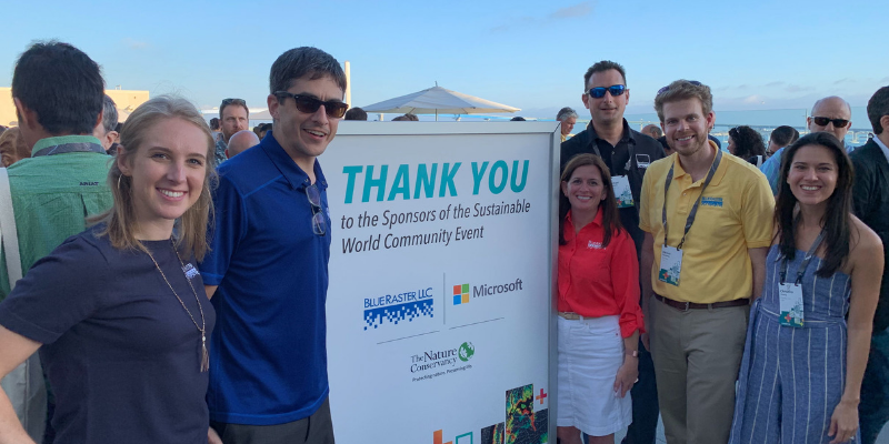
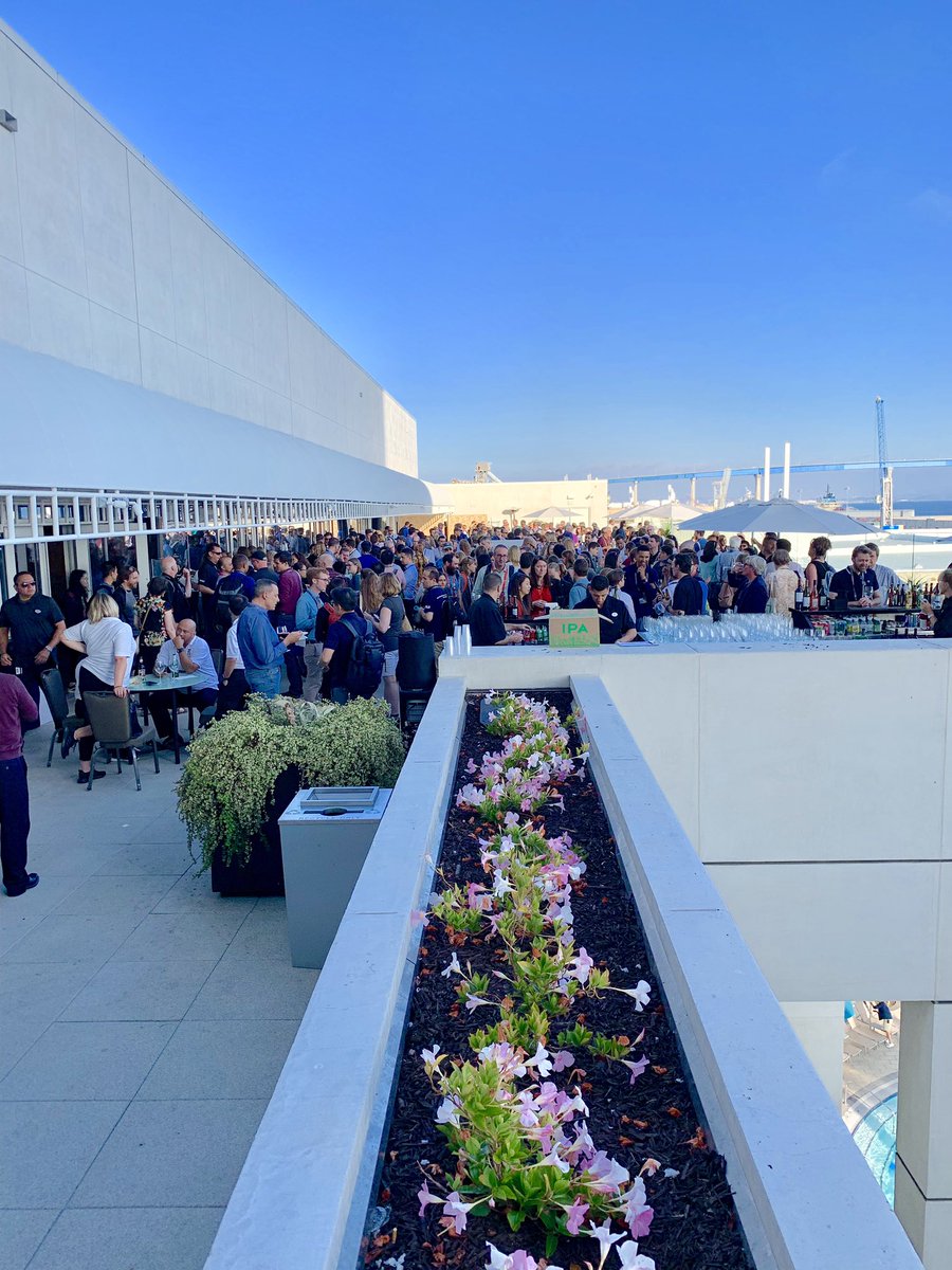
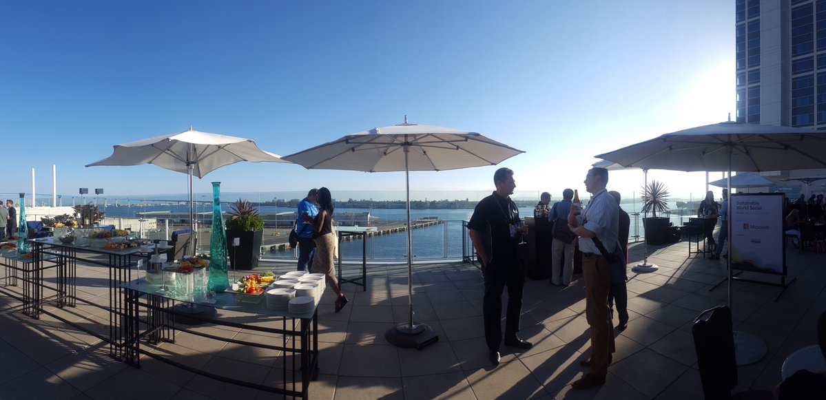
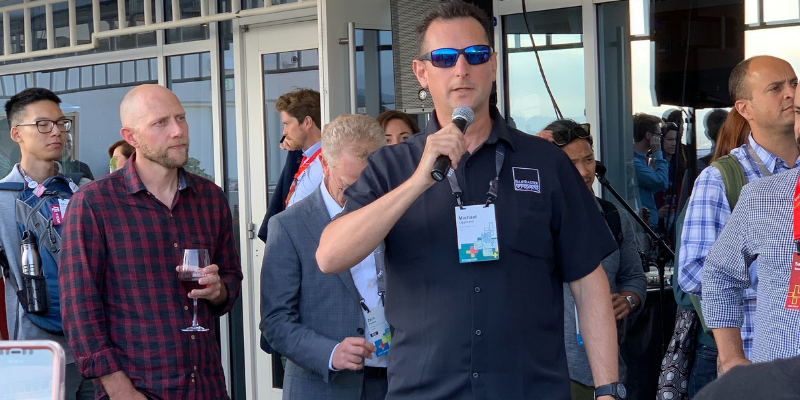
Blue Raster was a proud sponsor of the Esri Mid-Atlantic User Group Conference in Philadelphia, PA. In addition to showcasing our work and connecting with Esri users, members of the Blue Raster GIS Team attended technical sessions and workshops. The two-day event brought together over 400 Esri users and GIS professions from around the region seeking to advance their organizations and workflows with the latest GIS technology offerings.

Esri Mid-Atlantic User Group Conference

The Plenary featured presentations by Esri’s cartographer and user experience designer, John Nelson, the Pennsylvania Turnpike Commission, and technology presentations by Esri staff. This year’s conference theme was titled “GIS - The Intelligent Nervous System,” a reference to the intricate communication system in the human body responsible for detecting, transmitting, and communicating vital information across complex network of nerves.

Esri Mid-Atlantic User Group Conference
Esri's cartographer and user experience designer, John Nelson, led the plenary session.

5 Takeways from the Esri Mid-Atlantic Conference

The Esri Mid-Atlantic conference helped provide answers to these questions: What is new? What has been improved and updated? What can we anticipate in the future?

1. GIS technologies are constantly advancing.

As an industry leader in GIS software, Esri’s applications and tools are constantly evolving to suit the needs of an increasingly diverse range of customers. From education to AEC (architecture, engineering and construction), Esri is at the forefront of product development for an increasing number of GIS users. It is important for Blue Raster to attend Esri’s conferences to ensure we remain informed about the latest developments in the field. As a result, this allows us to build capacity in our team and our clients when it comes to GIS workflows.

2. Building connections face-to-face improves our understanding of what GIS users need.

Throughout the conference, we had the opportunity to meet and speak with GIS users from around the region. These face-to-face interactions allowed us to gain a more nuanced understanding of how organizations are using GIS to address problems at a variety of scales. This only reinforces the importance of stepping away from our desks and attending these conferences. The importance of face-to-face discussions in a constantly evolving industry is just as important as the work we do from our computers.

Esri Mid-Atlantic User Conference

3. For local and state governments, GIS happens at the smallest scales.

From water utilities to curbside maintenance, city governments are eager to leverage GIS workflows to track and manage their assets and workforce. Unique to this scale is the need for precision and accuracy. As a result, government GIS users must have a deep and intimate understanding of their cities. Esri products cater to these needs through a large selection of highly customizable field and web applications.

4. For small municipalities and city governments, Emergency Management Preparedness and Mitigation is happening right now.

Adjusting and preparing for a changing global climate can often seem like an overwhelming task, but for local governments and municipalities being prepared to face this change is happening right now. Furthermore, small municipalities are keenly aware of the specific risks and needs of their communities and are eager to leverage whatever technology is available to manage assets and personal in times of crisis. This desire to be ready and up to date on the newest uses of GIS for Emergency Management was evident in the high attendance of all three Emergency Management focused session of the conference.

5. GIS technology isn’t just for the GIS industry.

Throughout the two day Esri Mid-Atlantic Conference the Blue Raster team had the chance to talk to attendees, other sponsors, and Esri professionals. An overarching theme was that GIS is involved in countless sectors of business and professional industries, from architects to civil engineers and city planners, GIS professionals, non-profit community development groups, educators and students, and local and county government employees. We are excited to see how The Science of Where continues to expand.

Esri User Conference 2019: The Blue Raster Experience

Esri UC: The SuperBowl of the Geospatial Industry

The Esri User Conference is the biggest GIS event of the year. This year, the San Diego Convention Center was once again filled with a record-breaking number of geolocation enthusiasts; over 17,000 attendees. The Blue Raster team was excited to participate and showcase our latest work, meet new friends and learn from other GIS professionals.

Blue Raster Team at Esri UC 2019

With ideas flying and new technologies being unveiled, we walked away excited for what is to come:

  • Esri ArcGIS Hub – It was amazing to see all the ways cities and organizations are partnering with residents, non-profits, business, and universities through ArcGIS Hub. The Hub work that the City of Zwolle, Netherlands, and the District of Columbia government are doing was super inspiring!
  • ArcGIS Urban – This is the ultimate city planning tool. It takes into account setbacks, zoning regulations and overrides, and provides capabilities to compare large-scale 3D projects across multiple parcels and development projects.
  • ArcGIS Indoors – ArcGIS Indoors is enabling organizations to provide the ultimate workplace experience for employees through workplace maps and location data to better manage workplace operations. We are proud to announce our new ArcGIS Indoors specialty from Esri.
  • ArcGIS Enterprise 10.7.1 – This new version of ArcGIS Enterprise has reduced server memory requirements have by 95%. This means that the same hardware should be able to do MUCH more now.

The conference kicked off with the Opening Plenary featuring Dr. Jane Goodall and an exciting new StoryMap, ENGAGE – LISTEN – UNDERSTAND – ACT, that the Jane Goodall Institute and Blue Raster teamed up to create. Built with the brand new StoryMaps for ArcGIS template, this story map outlines concerns over chimpanzee populations and the environment, the steps in the process of 'Tacare' approach toward conservation, and success stories with this conservation approach. We are so grateful to have had the opportunity to work with the Jane Goodall Institute and meet Jane and her team at the UC conference this year. We hope to see Jane in DC when she visits in September.

Jane Goodall and the Blue Raster Team
Danny Cassiday at Esri UC 2019

On Monday, one of our GIS Analysts, Danny Cassiday, brought his knowledge to sunny California to present a lightning talk "My Life as a (Version) Control Freak: Versioning ArcGIS Online Items with Python" sharing his experiences and thoughts on applications of Python in versioning ArcGIS Online items.

On Tuesday, Blue Raster was proud to sponsor and attend the Sustainable World Social, a networking event focusing on the applications of GIS in the context of conservation and sustainability.

Following the social, we headed over to our annual Fish Taco Night at the South Beach Bar & Grille.

Blue Raster Taco Night  at South Beach Bar & Grille
Blue Raster Taco Night
Blue Raster Team at Taco Night

We enjoyed seeing all those who stopped by our booth this year, from professionals in conservation and forest management to real estate development and utility support. We were able to demo some of our latest applications and invited attendees to visit our Map Gallery Posters. The Gallery featured our work with Forest Stewardship Council providing an interactive outlet through ArcGIS Operations Dashboards to explore where FSC Certified Forests and Certificates currently are located for verification and accountability purposes as well as our partnership with The Demographic and Health Surveys (DHS) Program, USAID, UNICEF, and the Nature Conservancy utilizing ArcGIS StoryMaps to track the progress of the Sustainable Development Goals. We also had the opportunity to display a poster covering the drone missions we flew with The Green-Wood Cemetery using Esri’s Drone2Map and ArcGIS Online Web Scenes to provide high-quality imagery that will identify invasive grass for measurement and monitoring in partnership with Cornell University.

Forest Products without Compromise map
Measuring Success map
Improving Drone Missions with Lidar Support map

Wednesday evening was family night, allowing us to engage with the entire GIS community and interact with enthusiasts, young and old. Our Blue Raster temporary tattoos were a hit with the kiddos! Between our booth on the expo floor, the many sessions and socials, family night, and our legendary fish taco night, we had so many wonderful moments. Check out some of our favorites:

Family Night at Esri UC 2019
Christina passing out candy at Family Night.
Some of our favorite moments from the UC this year
Blue Raster booth for Esri UC 2019
Our Blue Raster women in GIS Esri UC 2019

Interested in working with us?

Reach out to see how we can help you harness GIS technologies, mapping solutions, and data analysis to tackle the challenges you face.


Page 5 of 8