Blue Raster is thrilled to announce our return to the Esri User Conference in July at the San Diego Convention Center. Members of our team will be making the trip out to sunny Southern California next month to present our work and to gain insights from other leaders in the geospatial industry. We look forward to hearing from keynote speakers Jane Goodall and E.O. Wilson, two of the world’s foremost conservation activists. We are excited to be collaborating with the Esri StoryMaps team and the Jane Goodall Institute on a Story Map that will be featured at Esri UC.
Exciting Technology at Esri UC
We are excited to announce that we are now a partner in the ArcGIS Indoors Specialty.

Blue Raster is recognized for our expertise with indoor mapping and location analytics, and the implementation of solutions or services using ArcGIS Indoors. This rising IPS (Indoor Positioning System) based software will be at the center of several demos and training sessions at this year’s Esri UC.
Blue Raster Project Manager Megan Gottfried will be attending ArcGIS Urban pre-UC training on July 7th to learn more about this revolution in GIS for urban planning. We are looking forward to talking with colleagues and clients about these new initiatives. Make sure to visit our booth to see some of our application demos and videos.
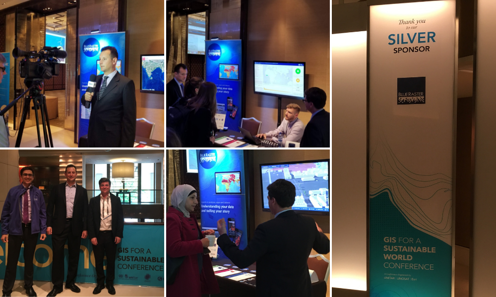
We are also excited to announce that we are an official ArcGIS Marketplace Provider and have three new offerings in the ArcGIS Marketplace:
- ArcGIS Online Accelerate
- ArcGIS Hub Accelerate
- Story Maps
Visit us at Esri UC to learn more about how Blue Raster can help you successfully set up, implement, and launch the latest Esri software tools.
Where to See Us at Esri UC
We look forward to engaging with other members of the GIS community, and we want to meet with you! Stop by our booth in the Expo Hall near the Sustainable World Community or contact us at info@blueraster.com to set up a meeting.
Lightning Talk: My Life as a (Version) Control Freak: Versioning ArcGIS Online Items with Python
Monday, July 8th – 5:00 to 6:30pm PT in Ballroom 20-D
Blue Raster GIS Analyst Daniel Cassiday will share his experiences and thoughts on applications of Python in versioning ArcGIS Online items. This event is a single, five-minute presentation taking place as part of a larger series of lightning talks. Danny will be sticking around after the event to answer any individual questions.

Visit us in the Map Gallery, where we will have three posters featured. Hang out with us during Map Gallery Opening and Evening Reception, Monday, July 8th – 4:00 to 7:00pm PT in the Sails Pavilion


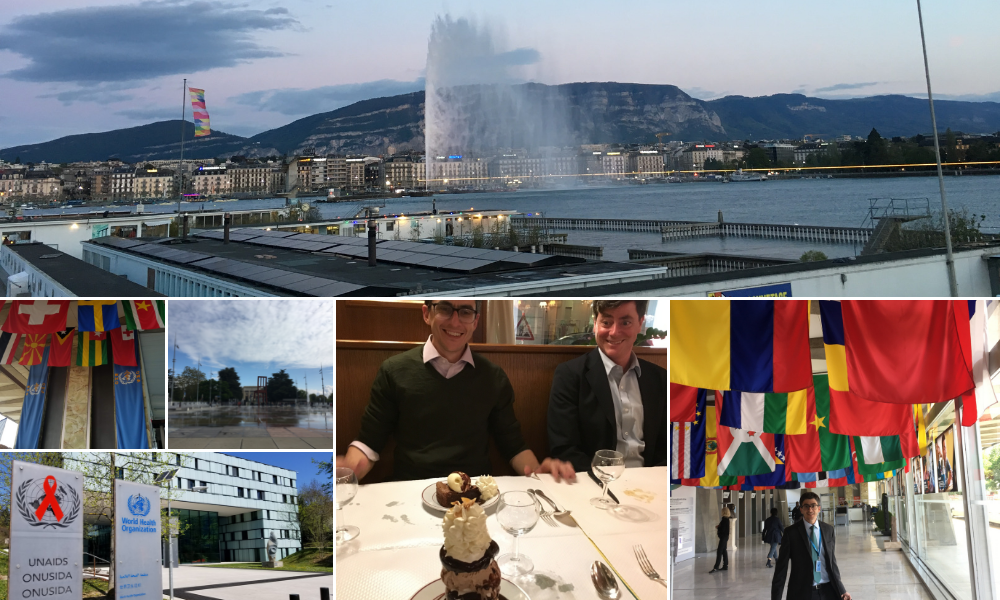
Sustainable World Social
Tuesday, July 9th – 6:00 to 8:00pm PT Hilton San Diego Bayfront Sapphire Terrace
Blue Raster is a proud sponsor of this networking event, which focuses on the applications of GIS in the context of conservation and sustainability. There will be light refreshments and great opportunities to collaborate with other people and organizations that are looking to make a difference.

Schedule a Meeting With Us
Interested in meeting with our team? Contact us now to schedule a time to meet with us during the Esri User Conference. We can't wait to see you!
- Posted in
- Esri
- User Conference
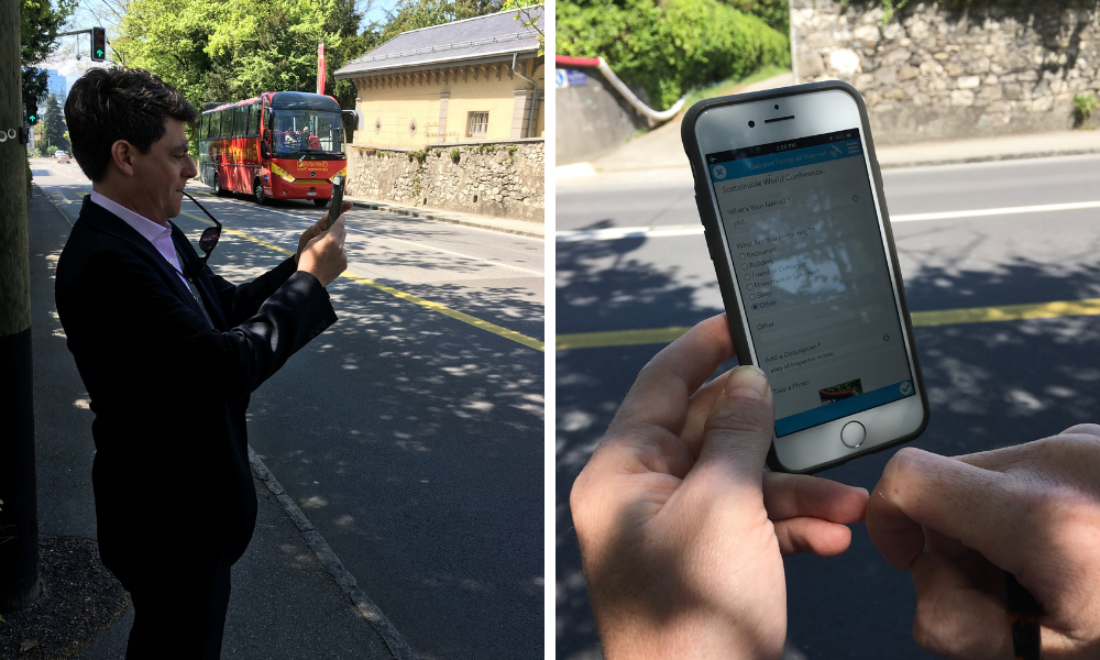 We also participated in the interactive field GIS mobile data collection exercise. In this session, attendees got hands-on experience using the latest in Esri field mobility software. The Exploration Team collected data from around the conference venue, then viewed it on the Operations Dashboard.