Last week Blue Raster attended the largest GIS event of the year: the annual Esri User Conference. Because of the current pandemic, the event went virtual this year and allowed GIS users around the world easy access to the three-day, livestreamed event. Over 86,000 people from 180 countries registered to take part.
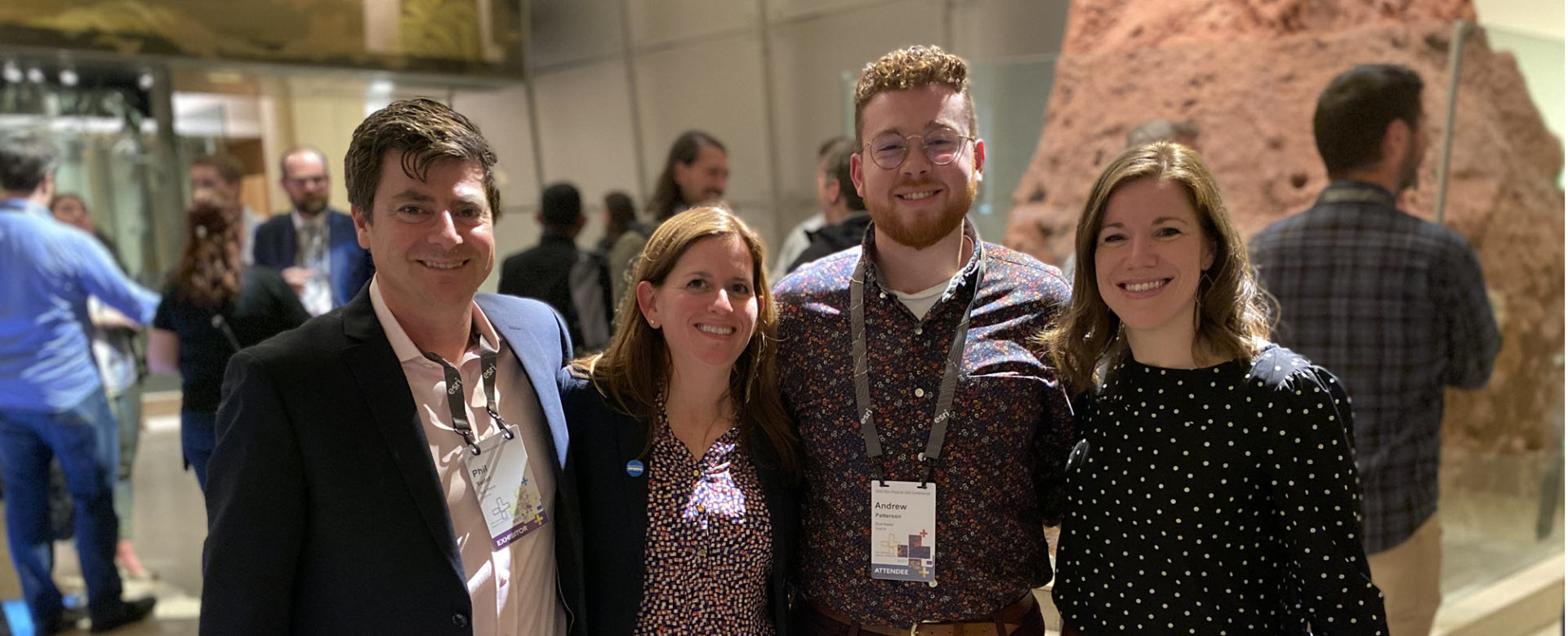
Blue Raster at the UC
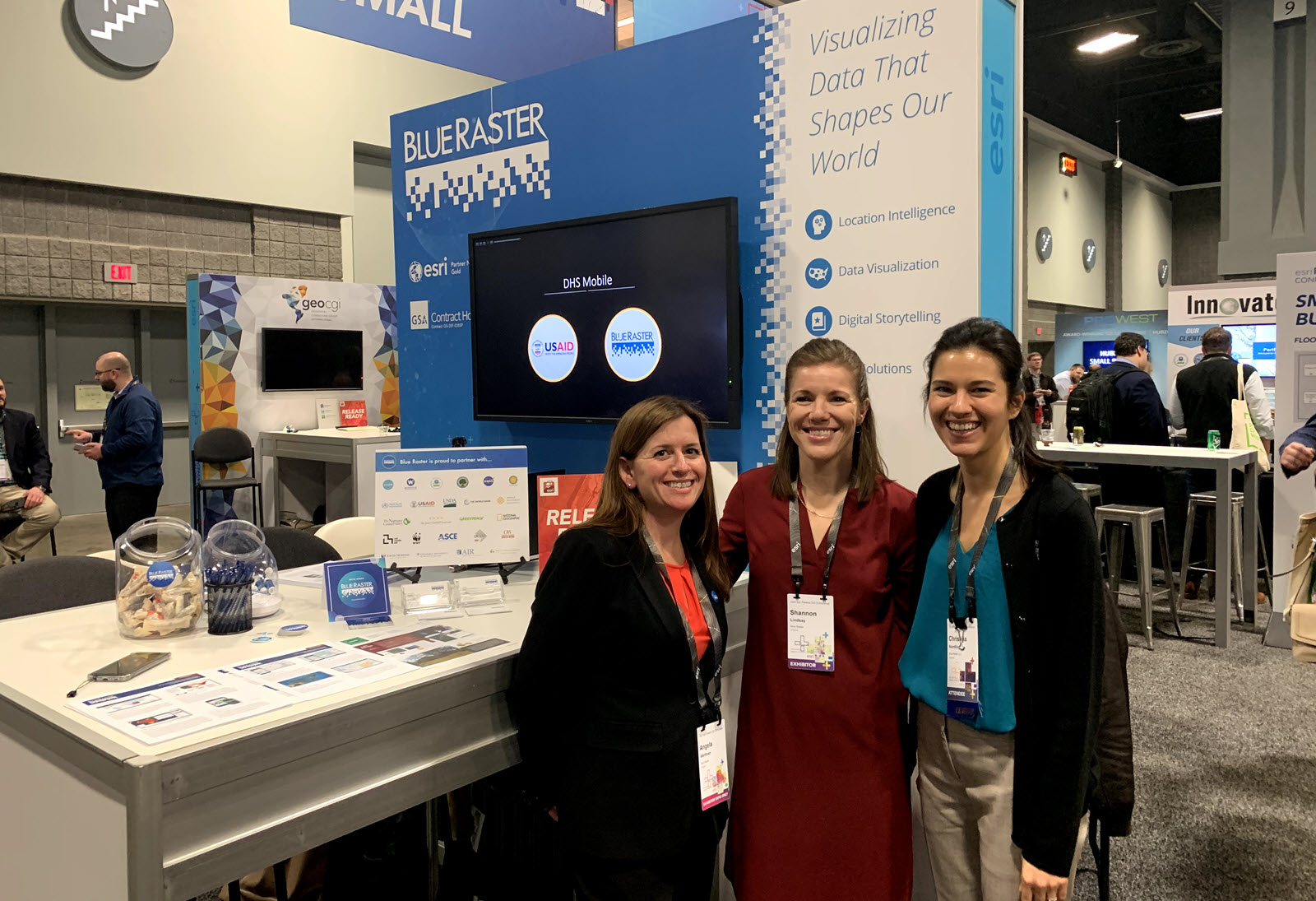
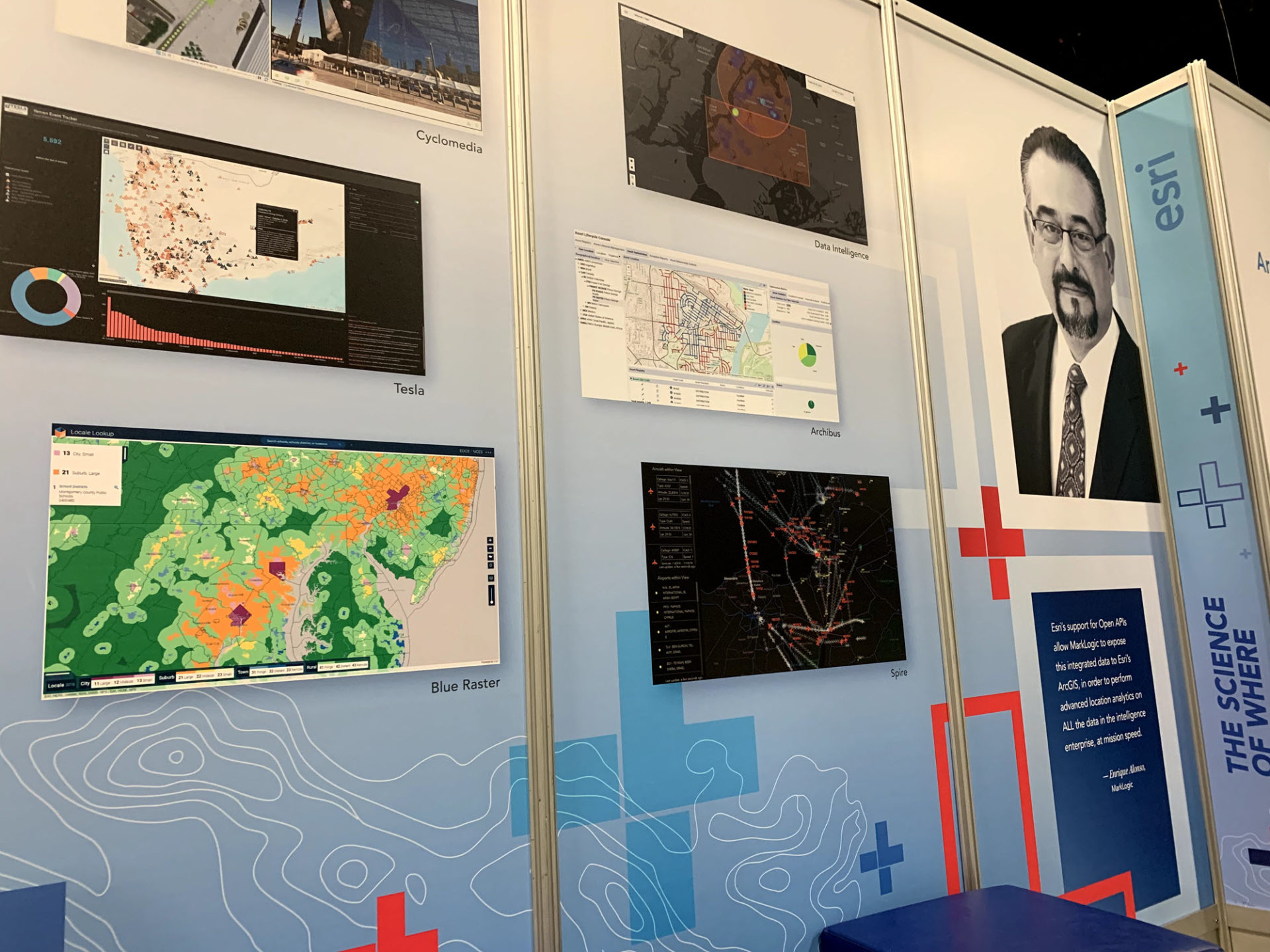
Despite the different format for this year’s conference, the Blue Raster team exhibited in the virtual expo and participated in many of the sessions. The expo provided a space to connect with other GIS professionals and users via video conferencing and chat.

Day one kicked off with the first of three plenary sessions spread out throughout the week. Esri founder Jack Dangermond started off the livestream acknowledging the state of the world noting that, although the attendees could not be there in person, we are all connecting in a different way. Much of the plenary focused on how people have utilized GIS during the COVID-19 pandemic. Many user applications appeared on screen, including Blue Raster’s StoryMap with the Red Cross.


The UC is a Learning Experience
Most of the Blue Raster team attended workshops, Special Interest Group, and technical sessions and walked away with new skills and knowledge about the latest features from Esri. Some of the features we are most excited about are:
GeoCards: These dynamic, informational cards are one of the new features for ArcGIS Experience Builder. GeoCards dynamically show individual feature statistics against a color or thematic background and can link out to other data sources, StoryMaps, or Dashboards for users to explore the data more!

Other new Experience Builder enhancements include Bookmarks, which can be used to configure a step-by-step display of locations in a web map, similar to a tour. In addition, there are new visual animations to set effects such as Zoom or Fade-in on widgets when they appear in view.
ArcGIS Field Maps: This new app combines capabilities of five ArcGIS field applications, Collector, Explorer, Navigator, Tracker, and Workforce into one easy to use and convenient mapping application. It saves space and time for the mobile workforce.

You can watch the three plenary sessions via YouTube. View thought-provoking and powerful stories about how GIS is making a difference in the world. See demonstrations of the latest technology and capabilities ArcGIS offers.
Registered attendees will have access to the on-demand conference content until September 1, 2020. Select conference content will be available to a broader audience through at least December 31, 2020.
Did we meet at the UC?
Schedule a meeting with the Blue Raster team!
- Posted in
- User Conference