Esri

2023 Esri UC Top Takeaways

Blue Raster's 2023 Esri UC Highlights

Our team is back from one of the most exciting annual events, exhibiting at the 2023 Esri User Conference in San Diego! Blue Raster has attended nearly every User Conference since 1999—and this year was one of the best! This year Blue Raster had 8 colleagues attend and now that were back, here are some of our favorite highlights:
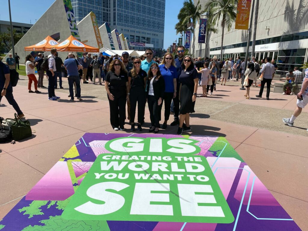
2023 Esri UC

Meeting conference attendees, clients, colleagues, and friends at Blue Raster’s Booth

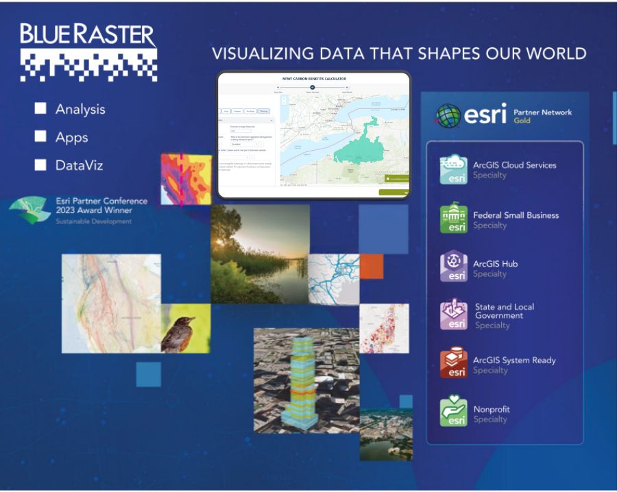
Did you get a chance to stop by Blue Raster’s booth this year? (Hint: Are you still wearing your cool Blue Raster sunglasses? Are your Crocs properly studded with Blue Raster jibbitz?) This year we had over 500 people stop by the booth to learn more about how Blue Raster visualizes data that shapes our world. Thanks for stopping by!

Let's Talk!

We want to help you with your GIS projects! Contact us today to schedule a call.

The 2023 Esri UC Plenary Session

Longtime friend of Blue Raster, and founder and CEO of Esri, Jack Dangermond kicked off this year’s Plenary session “GIS – Creating the World You Want to See”, to give us updates on all the new products and feature enhancements of ArcGIS tools. He guided us on a tour of how Esri is incorporating AI into geospatial workflows, meshing different data formats into real-world solutions (including 3D drone-imagery and augmented reality), and continuing to add advanced functionality to our favorite existing Esri products like ArcGIS Pro and ArcGIS Online.

We also got to hear from inspiring thought leaders and innovators who shared their experiences using GIS to improve the world. Our team was moved by Kadaster’s work creating tactile maps for the blind and visually impaired community and enraptured by Dr. Steve Boyes (National Geographic Society) exciting freshwater studies in the Okavango Delta.
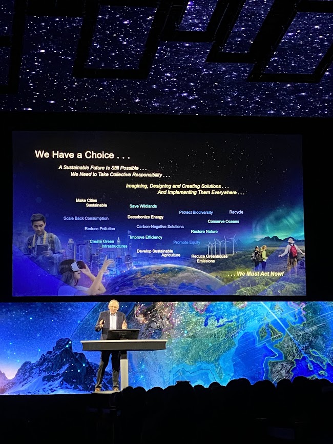
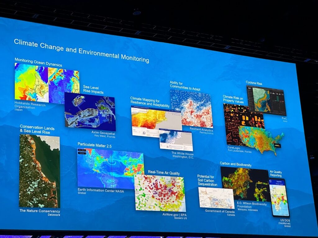
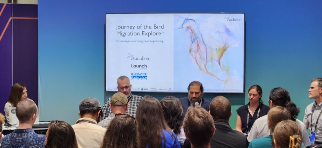
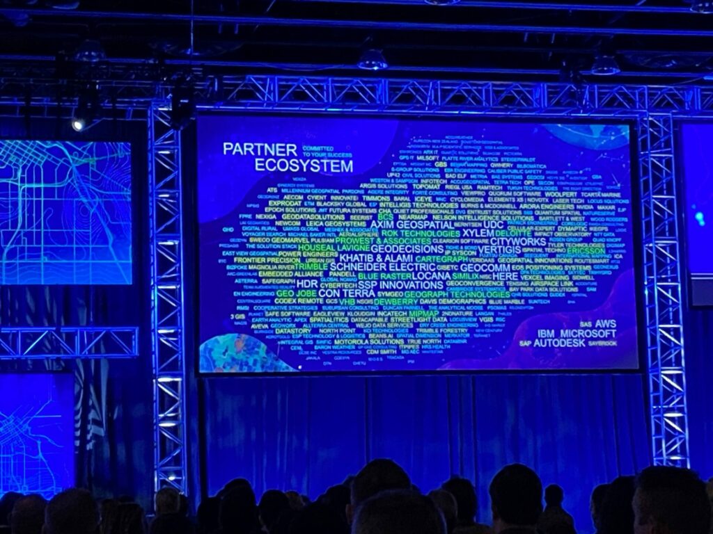
2023 Esri UC plenary

Blue Raster’s Fish Taco Night

A beloved Blue Raster tradition, we hosted our annual Fish Taco Night on Tuesday. We had a great turnout where we took over a beachside roof-deck to enjoy tasty fish tacos (a San Diego delicacy) and few cold beverages while looking out over the Pacific Ocean. Thanks to everyone who came out for this 2023 Esri UC event!
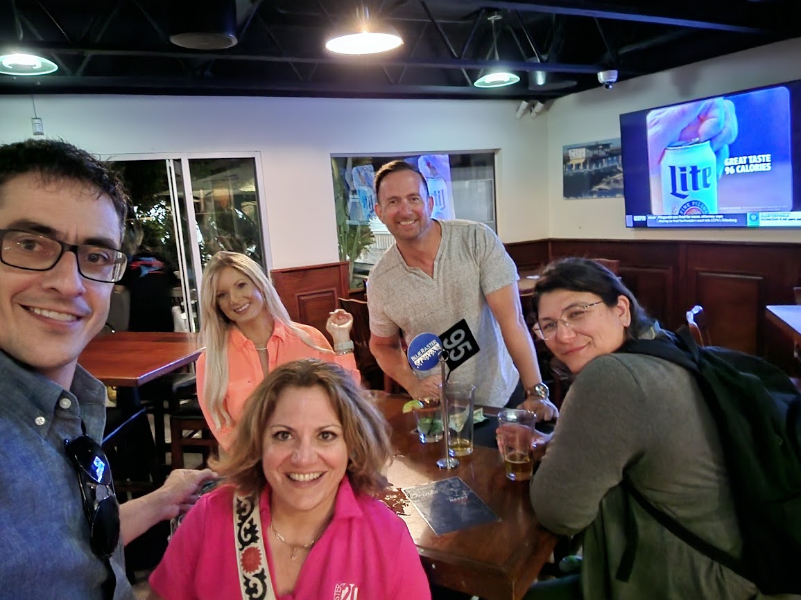
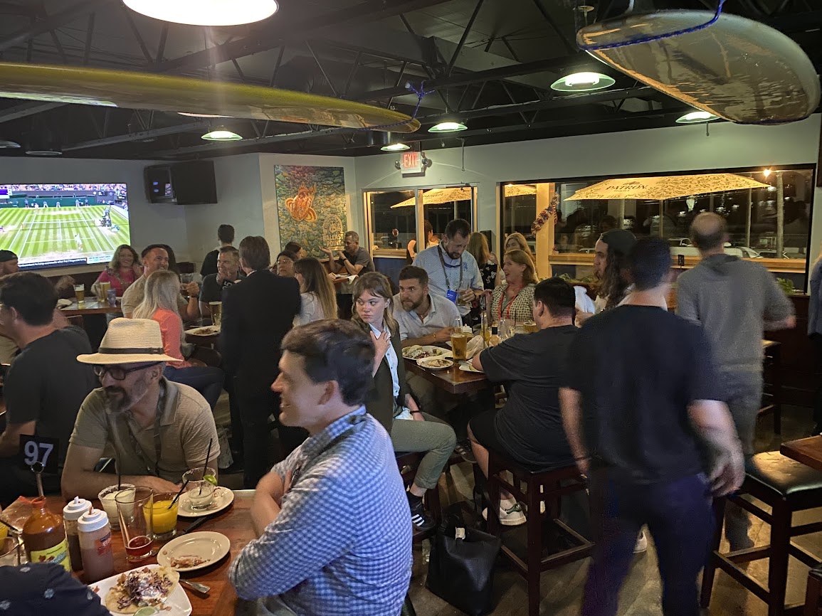
2023 Esri UC Fish Taco Night
FishTaco_PackedParty_IMG_6084
FishTaco_AnnaFriends_IMG_2943

Conference Social Events and Balboa Park Party

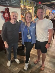
After long days of technical sessions, connecting with attendees at the booth, and meeting with clients and colleagues during the 2023 Esri UC, our team had to get serious about having fun at the several conference social events! Since Blue Raster works in so many different industries our team split up to divide and conquer the socials focused on Sustainable Worlds, AEC, Business, State and Local Government, Women in GIS, and Young Professionals Network. Blue Raster is known for our geospatial work and achievements, but we are also a really fun group of people to have at your social event 😊


Socials_MaryNonProfit_Women_IMG_6746
Social_FishTacoSelfie_IMG_2574

Meeting with clients in person

As the largest GIS conference in the world, many of our clients and collaborators were also in attendance. We used the opportunity to meet in person to talk about ongoing and future projects with some of the people we’ve only known virtually. And while we love the benefits of serving clients remotely, it’s always more fun to say hi in person!

Technical Sessions and User Presentations

Three days is not enough time to attend the hundreds of technical sessions throughout the conference—especially when there were so many topics and tools our team was excited to learn about! Luckily, many of the sessions were recorded and will be available to view online soon. Here are some of the favorite sessions our team attended (hopefully the wide range of topics and tools shows how varied our expertise is):

Advanced Map Automation with Python - GIS Analyst Anna Wegbreit attended this session because of the advanced map automation our team has been working on with AAA. Wow! It was so exciting to see an overflowing room of other cartographic professionals who use ArcPro, Python and arcpy to automate their map creation processes. One takeaway is using the CIM to get and set super fine-grain details in the properties of production maps and layouts.

ArcGIS Parcel Fabric: Introduction to Record Driven Workflows -  Don’t let “introduction” fool you, this session was highly technical and advanced, especially if you use Parcel Fabric like we do at Blue Raster! This session was highly informative, with a focus on Parcel Fabric Records, which are a keystone component of the Parcel Fabric Information Model.

Map Wizardry and Thematic Mapping - If you’ve ever gotten to attend a session with John Nelson and Ken Fields, you know that not only are they hilarious, but their maps and overall approach to cartography and map-making are truly inspiring.

Team bonding

We love working with our remote team virtually, but the UC was a great opportunity to bond with our colleagues in person. We had a great time going out after the conference for food, drinks, and fun. Italian food, a dueling pianos bar, and a hidden speakeasy are just three easy places to get to know your colleagues better.
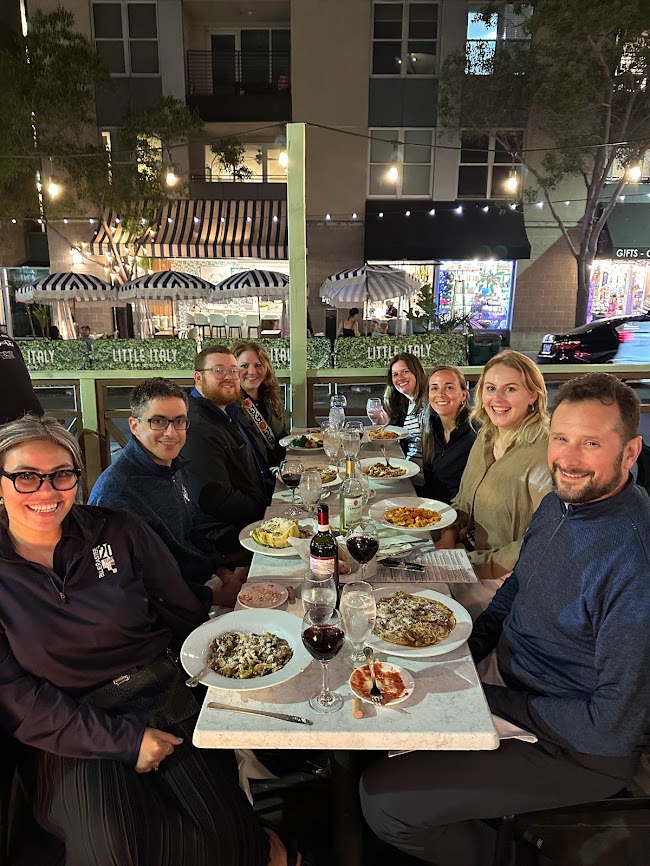

Team_ItalianDinner_IMG_2569
ThursdayParty_KorenMarySelfie_IMG_0497

Esri UC 2023: Visit with Blue Raster!

Visit Blue Raster at Esri UC!

Esri UC is 2 weeks away! Blue Raster is once again looking forward to exhibiting at the Esri User Conference that takes place July 10-14 in San Diego, CA. The Esri UC is the biggest event in GIS and represents the nexus of innovation in mapping solutions. The UC promises the opportunity to hear inspiring stories on how GIS is making an impact, gain insight from industry experts, and speak with others who are making a difference in the field.

Esri UC 2023

This year’s event will kick off with a Plenary session hosted by Jack Dangermond, Founder and CEO of Esri. In addition, we will hear from a range of inspiring leaders, including Richard W. Spinard Ph.D. from NOAA and Dr. Steve Boyes from National Geographic.

Connect With Us at Esri UC

As the use and capabilities of Esri-powered GIS products are ever advancing, the user conference is our opportunity to stay on top of new innovations and developments in order to best help our clients address their geospatial needs. This year, Blue Raster is bringing eight of our team members to the Esri UC to share our work and get a peek at everything new in the world of GIS.

The Expo at Esri UC

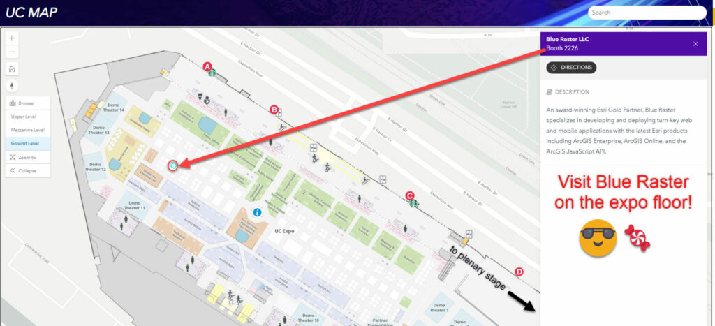
Esri UC Expo map

The expo portion of the conference will offer the opportunity to preview the latest tech in geospatial analysis and get a look at the new and interesting success of users across the field. Attendees can find us on the Expo floor at Booth 2226 and learn more about our work with the latest ArcGIS patterns, trends, and solutions including ArcGIS Real Time, ArcGIS Velocity, ArcGIS Hub, Experience Builder, Field Maps, Survey 123, ArcGIS Enterprise Cloud deployments, and more. Search for Blue Raster using the official UC Map!

Expo Hours:

Tuesday, July 11 from 9:00am – 6:00pm

Wednesday, July 12 from 9:00am – 6:00pm

Thursday, July 13 from 9:00am – 4:00pm

Visit us at our booth at Esri UC for a chance to win a Blue Raster Yeti and Swag Box!

Esri UC Giveaway
Will you be at Esri UC?

Let us know if you plan on attending any of the industry socials or events!

Map Gallery

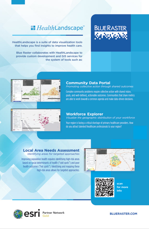
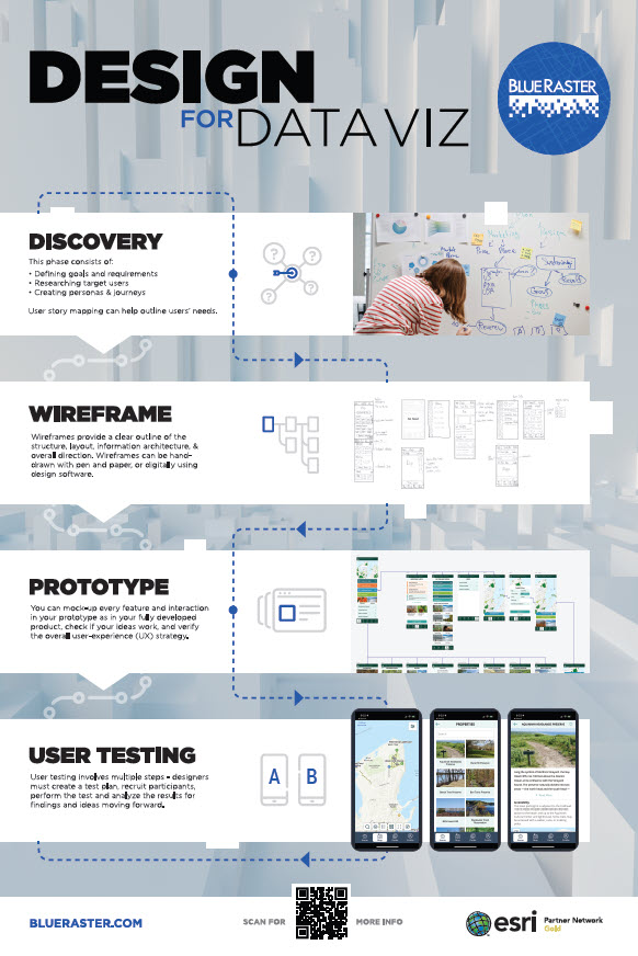
Blue Raster is proud to display two posters in the Esri UC Map Gallery. We're highlighting our ArcGIS work with HealthLandscape and our UI/UX methods to visualize data. Stop by to look for our entries in the Sails Pavilion and vote on your favorite!

Look for our team at the Map Gallery Reception!

    • Monday, July 10 from 4:00pm – 6:00pm

Want to meet up with us?

Schedule a time now to visit us at our booth!

Send us a note!

  • This field is for validation purposes and should be left unchanged.

APGA Puts on a Texas-Sized Show in Fort Worth

Last week was the American Public Garden Associations' (APGA) Annual Conference in Forth Worth, Texas. Over 1,000 people in the community attended to learn from each other's success stories and best practices around garden management, public engagement, horticulture, plant curation, conservation, and education.

Christopher Gabris, Blue Raster’s Public Gardens Practice Lead, traveled to network with existing partners and share with other conference attendees how Blue Raster is using Esri’s ArcGIS platform to modernize public garden GIS and mapping workflows.

Conference highlights included a Southern Garden Charm dinner party and drone light show at the Dallas Arboretum, and celebrating the Modern West at the Fort Worth Botanic Garden.

Blue Raster currently works with over a dozen public garden, arboreta, and cemetery clients. Our team designs and develops workflows for creating and updating plant collections from out in the field, syncing botanical data with popular repositories, building interactive web and mobile mapping applications for the public, and training public garden staff on maximizing the use of GIS software.

We look forward to continued engagement with the American Public Garden Association community throughout the year and presenting our work at the 2024 conference in Boston!

See how Blue Raster can help modernize your public garden and cemetery workflows today!

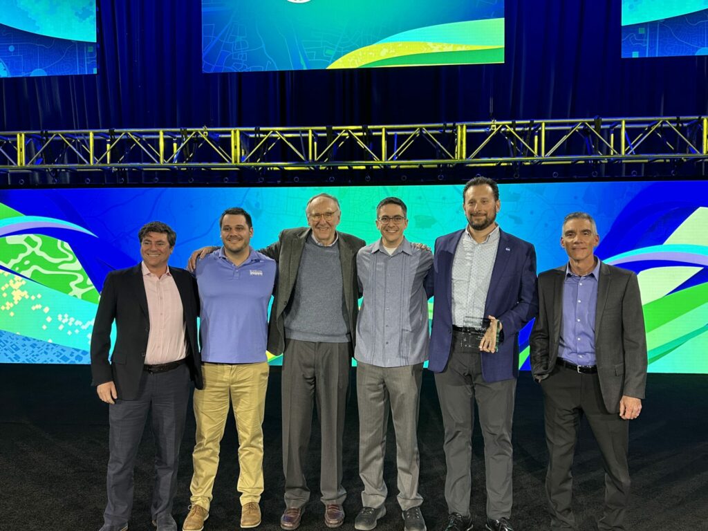
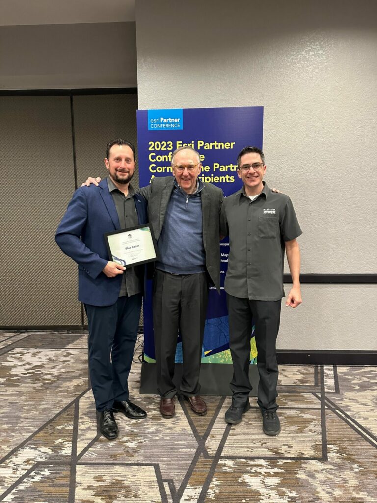
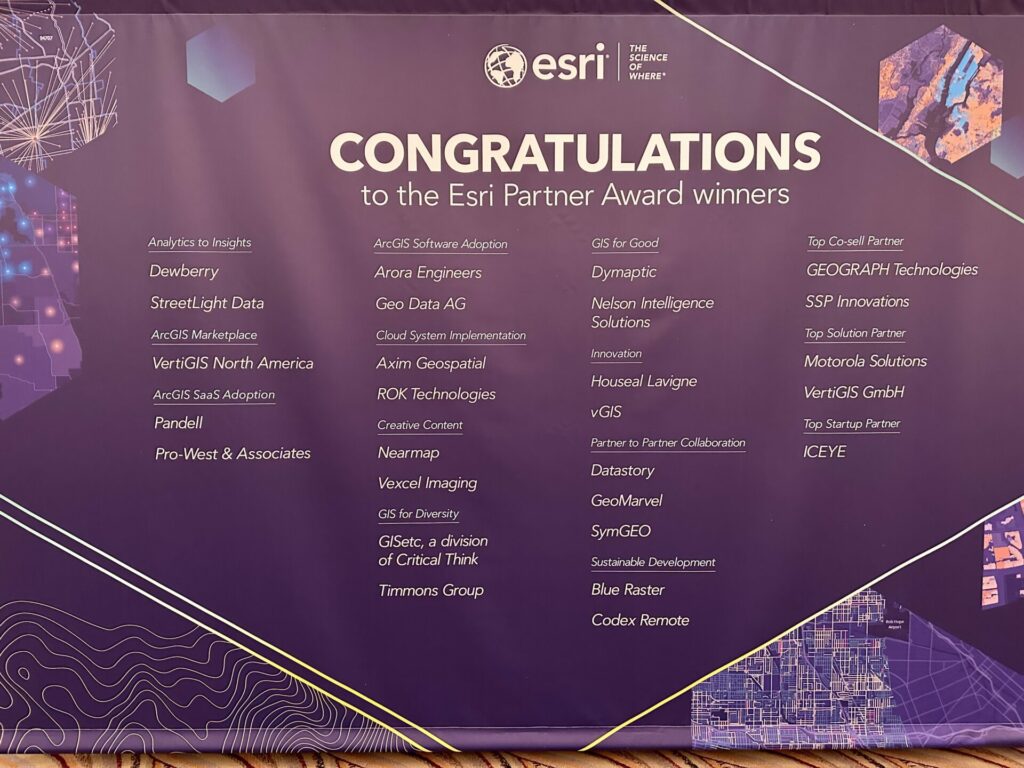
Blue Raster Receives Sustainable Development Award and is Named Esri Cornerstone Partner at 2023 Esri Partner Conference

On March 6, 2023, Blue Raster received two significant honors at the 2023 Esri Partner Conference (EPC) held in Palm Springs, California from March 4-6, 2023. Our company was recognized by Esri, the global market leader in geographic information system (GIS) software, for both our accomplishments in applying GIS solutions to support sustainable development worldwide, and for reaching the milestone of 20 years of Esri Partner Network (EPN) participation.

As a recipient of the Esri Sustainable Development Award, Blue Raster was commended for helping customers meet global sustainable development goals by understanding their needs, mapping their work, measuring impact, analyzing performance, and engaging stakeholders. We're proud of our long history of creating innovative GIS solutions that address some of the world’s most pressing sustainability challenges. Among our most significant projects, our team has developed interactive applications and tools to map deforestation in the Amazon rainforest, manage and monitor water resources, and track progress toward the Sustainable Development Goals established by the United Nations. We currently work with leading nonprofit conservation organizations including The World Resources Institute, the Jane Goodall Institute, The Nature Conservancy, World Wildlife Fund, UNICEF, The Earth Genome, NatureServe, National Audubon Society, and The Stimson Center, among others.

Esri is the global leader in location intelligence with a network of over 2,800 partners around the world. The award winners are organizations that have demonstrated innovative and creative ways to solve complex problems by using Esri’s ArcGIS software and those that have done exceptional work in advancing GIS technology. Blue Raster was one of 27 Esri partners that received an achievement award at the conference.

“Esri congratulates Blue Raster on their 2023 EPC award in recognition of their innovative work leveraging ArcGIS software,” said Robert Laudati, Director of Global Partners and Alliances at Esri. “We are proud to partner with Blue Raster to foster the use of Esri technology in support of our mutual customers.”

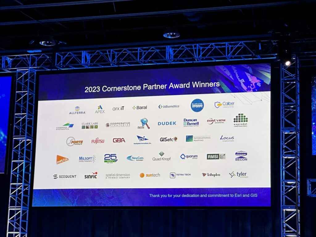
In addition, Blue Raster was officially named an Esri Cornerstone Partner for our long-term commitment to Esri and the GIS community. Cornerstone Partner recognition is given to organizations that have participated in the EPN for 20 years while demonstrating a consistent focus on helping customers succeed through the adoption of ArcGIS technology.

We are extremely proud to achieve Esri Cornerstone Partner status, as it has been a privilege to be a part of the EPN since our founding 20 years ago,” says Michael Lippmann, principal/founder, Blue Raster. “We are also honored to receive the Esri Sustainable Development Award and be recognized for the positive environmental impact our applications have helped to make around the world. Our team remains incredibly passionate about innovating new and creative ways to apply ArcGIS technology and help our clients make a measurable and meaningful difference.”

AppStudio Retirement: Esri Announces Major Update

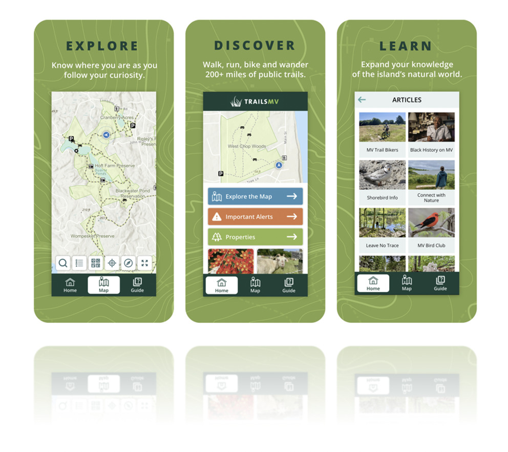
Esri has announced version 5.5 of their low and no-code mobile development framework, AppStudio, will be a Long-Term Support (LTS) release for the product. Version 5.5 of AppStudio will be its last major release with the product being retired in February of 2025. Blue Raster has developed and maintained AppStudio applications for clients such as the U.S. National Arboretum, Sheriff’s Meadow Foundation, the Ohio Department of Natural Resources, and more.

Migrate Your Legacy Platforms

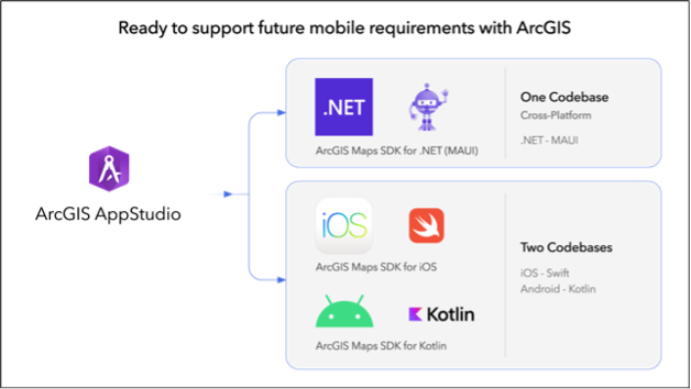
As the digital landscape shifts, the phasing out of AppStudio necessitates a seamless transition for your applications. Our seasoned team can expertly migrate your legacy systems to robust native iOS and Android platforms, utilizing cutting-edge languages like Swift and Kotlin. Ensure your mapping applications remain at the forefront of technological advancements, delivering unparalleled performance and user experience.

AppStudio 1

Transitioning from AppStudio

While AppStudio will be fully supported for the next two years, it is important to become familiar with the ArcGIS mobile application roadmap for the development of new applications or the migration of existing applications to a new framework.

Our team of designers and developers at Blue Raster are well versed in the suggested roadmap outlined by Esri for mobile application development—and we’re ready to support your vision. If needed, we can also assist your organization with migrating existing applications using the recommended frameworks or transitioning to the most efficient technologies for your current or future mobile applications. Our expertise includes:

Mobile application pathways for development or migration

Top-Tier Support for Your Mobile Application Needs

Our team is ready to help you with your mobile application development and migration needs--contact us today to learn more!

For more information about Version 5.5 of AppStudio and the product’s long-term future, visit the Esri ArcGIS Blog announcement.


Page 3 of 17