Esri

Esri UC 2022 Preview

Back in San Diego at the Esri UC!

Blue Raster is looking forward to getting back to San Diego to exhibit at the Esri User Conference taking place July 11-15. The User Conference (UC) is the biggest event in GIS and represents the nexus of innovation in mapping solutions. The UC promises the opportunity to hear inspiring stories on how GIS is making an impact, gain insight from industry experts, and speak with others who are making a difference in the field.

UC header

This year’s event will kick off with a Plenary session hosted by Jack Dangermond, Founder and CEO of Esri. In addition, we will hear from a range of inspiring leaders, including Deanne Criswell from FEMA and Ronan Donovan from National Geographic.

Connect With Us at Esri UC 2022

As the use and capabilities of Esri-powered GIS products are ever advancing, the user conference is our opportunity to stay on top of new innovations and developments in order to best help our clients address their geospatial needs. This year, Blue Raster is bringing seven of our team members to the Golden State to share our work and get a peek at everything new in the world of GIS.

The Expo at Esri UC

UC booth

The expo portion of the conference will offer the opportunity to preview the latest tech in geospatial analysis and get a look at the new and interesting success of other users across the field. Visit Blue Raster booth 2410 to learn more about our work with the latest ArcGIS patterns, trends, and solutions including ArcGIS Real Time, ArcGIS GeoEvent Server, ArcGIS Velocity, ArcGIS Hub, Experience Builder, Field Maps, Survey 123, ArcGIS Enterprise Cloud deployments, and more. Contact us now to schedule a meeting with us or stop by our booth near the Sustainable World Showcase!

Expo Hours:

  • Tuesday, July 12 from 9:00am – 6:00pm
  • Wednesday, July 13 from 9:00am – 6:00pm
  • Thursday, July 14 from 9:00am – 4:00pm
Esri UC 2022

Sustainable World Spotlight

The Sustainable World Showcase in the 2022 Esri UC Expo is a hub for GIS users working to make strides to support the planet, people, prosperity, and peace. GIS applications under the Sustainable World umbrella include climate change, conservation, disaster response, education, global development, humanitarian, nonprofit, racial equity, and social justice. To help you find your way to our booth and all of the GIS for Good sessions and events, check out the Esri Sustainable World focused agenda.

  • Blue Raster will be presenting a lightning talk at the Nonprofit Community Takeover at the Sustainable World Showcase Spotlight Theater on Tuesday between 9am – 12pm.
  • We’ll also be sponsoring the Sustainable World Community Social on Tuesday night between 6pm – 8pm at the Hilton Bayfront's Sapphire Terrace. We can’t wait to see you there!
Will you be at Esri UC?

Let us know if you plan on attending any of the Sustainable World or other industry events!

Map Gallery

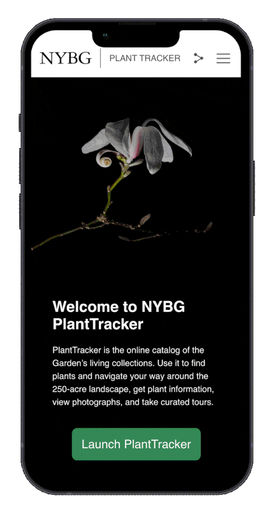
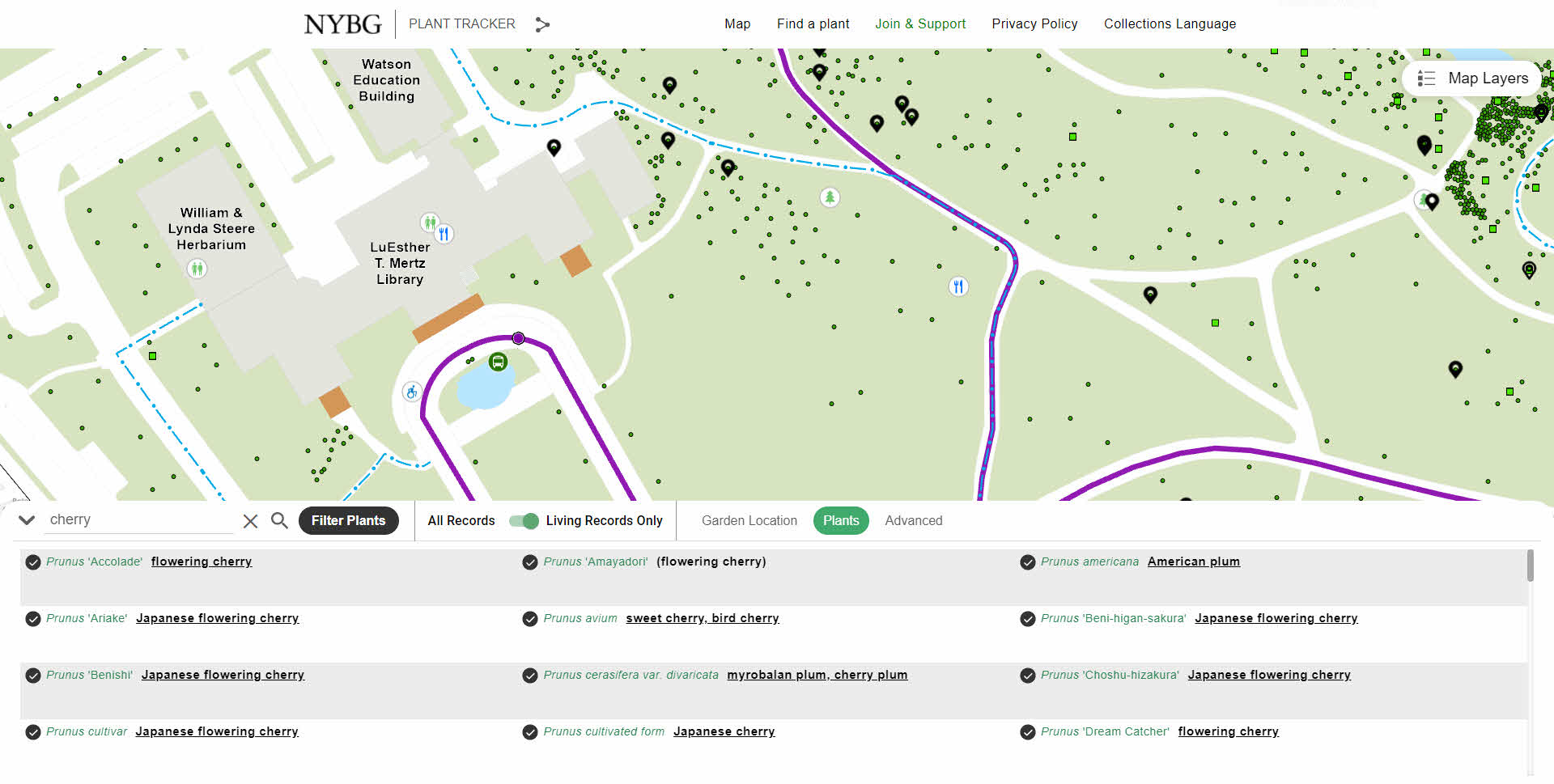
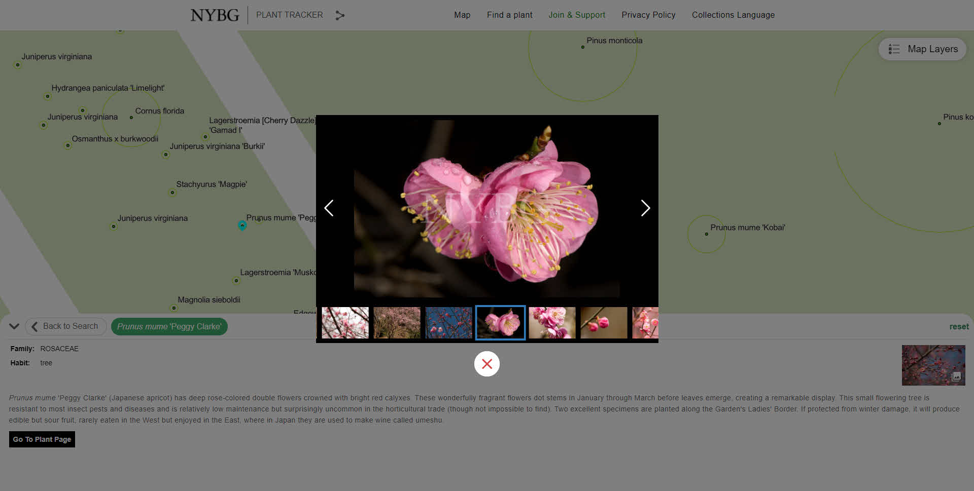
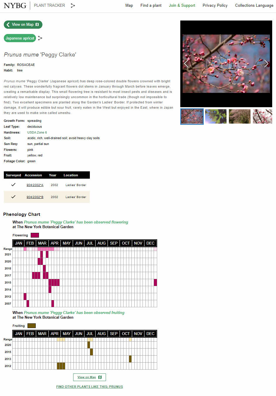
Blue Raster is proud to display four posters designed by our team members in the Map Gallery. We're highlighting our work with The Henry Ford, Virginia Department of Transportation, New York Botanical Gardens, and The Stimson Center. Look for our entries in the Sails Pavilion and vote on your favorite!

Map Gallery Hours:

  • Monday, July 11 from 4:00pm – 6:00pm
  • Tuesday, July 12 from 8:00am – 6:00pm
  • Wednesday, July 13 from 8:00am – 6:00pm
  • Thursday, July 14 from 8:00am – 1:30pm

Want to meet up with us?

Schedule a time now to visit us at our booth!

Celebrating ArcGIS Enterprise Implementation with Blue Raster’s Scott Geistmann

ArcGIS Enterprise is a perfect fit for deployment to a cloud platform enabling mapping and visualization, analytics, and data management. It is the foundational tool in an organization’s suite of Esri applications such as ArcGIS Pro and distributed collaborations with ArcGIS Online. Blue Raster assists its customers with Enterprise implementations in order to expand their spatial data analysis and data storage capabilities while unlocking new, more efficient workflows utilizing cloud native technologies. Having an Esri Enterprise System Design Professional on our team provides our clients with confidence and peace of mind.

ArcGIS Enterprise System Design Professional

Blue Raster is proud to celebrate our own Scott Geistmann for achieving the Esri Enterprise System Design Professional (ESDP2201) Certification. He is one of fewer than 40 experts who achieved the most recent Esri certification in the ArcGIS Enterprise system design. The certification exam covers 4 primary skill areas – Physical Architecture, Solution Architecture, Deployment and Troubleshooting, and Architectural Concepts. In order to acquire this expert-level certification, Scott mastered the four core skill areas above as well System Design, ArcGIS Monitor, System Log Parser, and eGDB Health tools. Attaining this certification is no easy feat. We applaud Scott for his hard work in ascertaining the content of hundreds of training modules and building countless simulated test environments to apply key concepts in preparation of the certification exam.

With the proliferation of cloud-based infrastructure over this most recent era of computing, Scott has taken the ball and ran with it. As Blue Raster’s resident enterprise implementation and server architecture expert, Scott provides key expertise to our customers. Scott assists customers by evaluating their current systems, weighing considerations of which upgrades to make, and mapping how to best design each customer’s system according to their unique needs. He has designed proprietary methodologies governing his approach to structuring and implementing customer systems in AWS, Microsoft Azure, and Google Cloud which can be seen in the graphics below. This approach has proved invaluable in implementing more automated processes and standardization in customer systems.

AWS ArcGIS Enterprise Implementation
Azure ArcGIS Enterprise Implementation

Being in the Esri ecosystem since ArcGIS version 9.3, Scott has seen and experienced the full evolution of ArcGIS version 10 and is now looking forward to working with ArcGIS version 11 which is slated to release in 2022.

Scott

Scott’s certification as an Enterprise System Design Professional is part of Blue Raster’s pursuit of Esri's ArcGIS Cloud Specialty Program. This program certifies service providers in system architecture design, managed services, and ArcGIS Enterprise solutions in order to guide customers in their implementations of Esri’s Geospatial Cloud. Three Esri Cloud certifications are required under the scope of the Cloud Specialty Program – the Enterprise Geodata Management Professional, Enterprise Administration Professional, and Enterprise System Design Professional. Blue Raster team members, in addition to Scott, are currently working in preparation for these certifications by following individualized Esri training courses. We at Blue Raster look forward to joining this specialty and sharing our expertise and best practices with our customers.

Inspiring Children to Innovate for Success: The Henry Ford and the Innovation Atlas Explorer

The Henry Ford (THF) in Dearborn, Michigan, is a force for inspiring tomorrow’s innovators.

When Jarell Brown, Head of Analytics and Business Intelligence for The Henry Ford, created the methodology for the Innovation Atlas Score he knew he would need a robust, configurable, and attractive platform for visualization and presentation. After contacting Emily Swenson from Esri, Jarell reached out to Blue Raster and a relationship was formed.

After gathering and processing data in ArcGIS Pro, Blue Raster advised THF to use Experience Builder for ArcGIS, combined with Dashboards for ArcGIS to build the Innovation Atlas Explorer.

According to THF, “The new defining feature of the success in our communities is not only upward mobility, but upward innovation as well – the aspiration that all children to have a chance innovate, no matter their background will create a more equal tomorrow.”

The Innovation Atlas Score is calculated using socio-economic attributes, school attributes and validated research to provide insight into where students are least likely to innovate and why these students are least likely to innovate.

Innovation Atlas

Blue Raster leveraged the flexibility and power of Experience Builder to create a "choose your own adventure” web mapping application to explore innovation potential across the U.S. Below, we list some features we configured in Experience Builder to enhance the user experience in the Innovation Atlas Explorer.

1. Informational splash window

A Splash Window with a carousel template displays multiple informational slides on how to navigate the Innovation Atlas. This helps users get acquainted with the web map prior to exploring it. 

Splash Window

2. Customized filters

Customized filters allow the user to explore various levels of innovation potential across three geographic levels – state, county, and public-school districts. This helps users gain insight into the spatial patterns of innovation potential across the country. 

Filters

3. Access multiple apps under a single "roof"

The Innovation Atlas holds a set of nested ArcGIS Dashboards that are easily accessed through the Innovation Atlas menu bar. The Innovation Atlas features a variety of map layers to explore along with innovation data. These dashboards are embedded within the Experience Builder app in a page separate from the main web map. For The Henry Ford, it was important to feature all apps under a single web app URL.

Innovation Atlas

4. Make room for valuable "non-map" information

Incorporate information such as your organization's mission and background, data methodologies, and more. Experience Builder allows for flexible, customizable pages with different media types, such as: text, images and infographics, embedded videos, and more. Pages can be created and hidden for future use, allowing content to be displayed or hidden as needed through the lifecycle of the Experience app.

Non-Map information

Contact us today to learn about The Innovation Atlas project and how we can help your organization tell your story!

Esri DevSummit 2022: Live From Palm Springs CA

PXL_20220307_210521913.MP

The Blue Raster team returned energized and empowered from the Esri Partner Conference and Developer Summit in Palm Springs, California. The Esri EPC and Esri DevSummit are conferences where we collaborate with others in the geospatial community on the latest approaches to web mapping and GIS. Also, we get a sneak peek at what’s coming in 2022 and beyond.

Esri Partner Conference

The Esri Partner Conference is a great opportunity to meet with Esri teams and other Esri partners to share insights and solutions. We even got to meet with Esri's President and Founder Jack Dangermond.

IMG_3520

Esri DevSummit

Day 1 of the DevSummit kicked off with an inspiring Plenary session welcome message from Jack Dangermond. In addition, Esri engineers and thought leaders shared exciting new advancements and features in the ArcGIS Platform. Throughout the week, our team attended sessions and demos on a wide variety of topics like ArcGIS API for JavaScript, ArcGIS API for Python, ArcGIS Velocity, and many more.

Esri DevSummit presentation

One of our team members, Emma Paz, had the opportunity to present at Esri DevSummit this year. Emma’s presentation “Take Flight on the Magic of Spatial SQL Functions” highlighted the benefits of migrating spatial analysis workflows to SQL and drew a standing-room-only crowd.

Image

Esri DevSummit is Blue Raster’s chance to get time with Esri experts. We brainstorm together and reflect on the latest technologies and enhancements available in the Esri suite of tools. Additionally, it gives us the opportunity to work one-on-one with Esri experts to dive deep into the software and develop solutions that we can deliver to our clients.

Teambuilding

Best of all, some of our team got to meet in-person for the first time in 2 years. On the Monday of DevSummit week, our team engaged in a wonderful day of teambuilding and bonding at the top of Mount San Jacinto State Park 8,500 feet above Palm Springs. They enjoyed the views of Palm Springs from the Aerial Tramway, the largest rotating aerial tramway in the world.

We look forward to seeing everyone at the next conference!

New Era for Plant Mapping at New York Botanical Garden with PlantTracker

New York Botanical Gardens Plant Tracker App displayed in a laptop and iPhone.

Established in 1891 and covering 250 acres in the Bronx, New York Botanical Garden is the largest urban public garden in the United States. With the beauty of the collections, landscapes, and gardens it's no wonder why over one million people visit the garden annually. Looking to upgrade their public mapping presence and expand internal use of GIS, NYBG and Blue Raster partnered to develop PlantTracker. Replacing a previous tool, PlantTracker is the online catalog of NYBG's living collections used to find plants, navigate the grounds, get plant information, view photographs, and take curated tours. 

NYBG Plant Tracker App displayed on an iPhone

PlantTracker aides the public onsite and from home and also daily workflows of NYBG staff and the institutions educational programs rely on the tool. Funded through an IMLS Grant, PlantTracker replaces the legacy Garden Navigator application and provides an enhanced user experience with a map-centric and mobile-first design.

Blue Raster first deigned a GIS architecture environment and installed and configured ArcGIS Enterprise. Next, Blue Raster had to create many spatial datasets for use in GIS by converting existing CAD files and tables. This included working with exports of plants managed through BG-Base, totaling over 143,000 living and historical records. The GIS Team at Blue Raster improved the spatial accuracy of almost 700 location codes used for mapping and outlining the main garden locations. Plant photo workflows were also upgraded by integrating with the Asset Bank API.

In addition to PlantTracker, GIS upgrades allowed the opportunity to integrate Esri mobile workflows for staff. Configuration with ArcGIS Field Maps and Workforce for ArcGIS expands plant mapping workflows, allowing workers to update existing location, condition and measurement data in the field. Blue Raster works closely with BG-Base to sync both systems through a series of Python scripts that run nightly and as often as every five minutes. This means NYBG can continue to use BG-Base as the system-of-record for their collections, but take full advantage of GIS for mapping applications and field workflows.

NYBG has embraced GIS in a big way. In short time, a lot has been done to improve public and staff workflows around mapping. Explore NYBG PlantTracker to see for yourself!

NYBG Tour
NYBG Gallery
NYBG Details
planttracker

Learn more about Blue Raster's work with public gardens, cemeteries, and arboretums here.

Contact us today!


Page 5 of 17